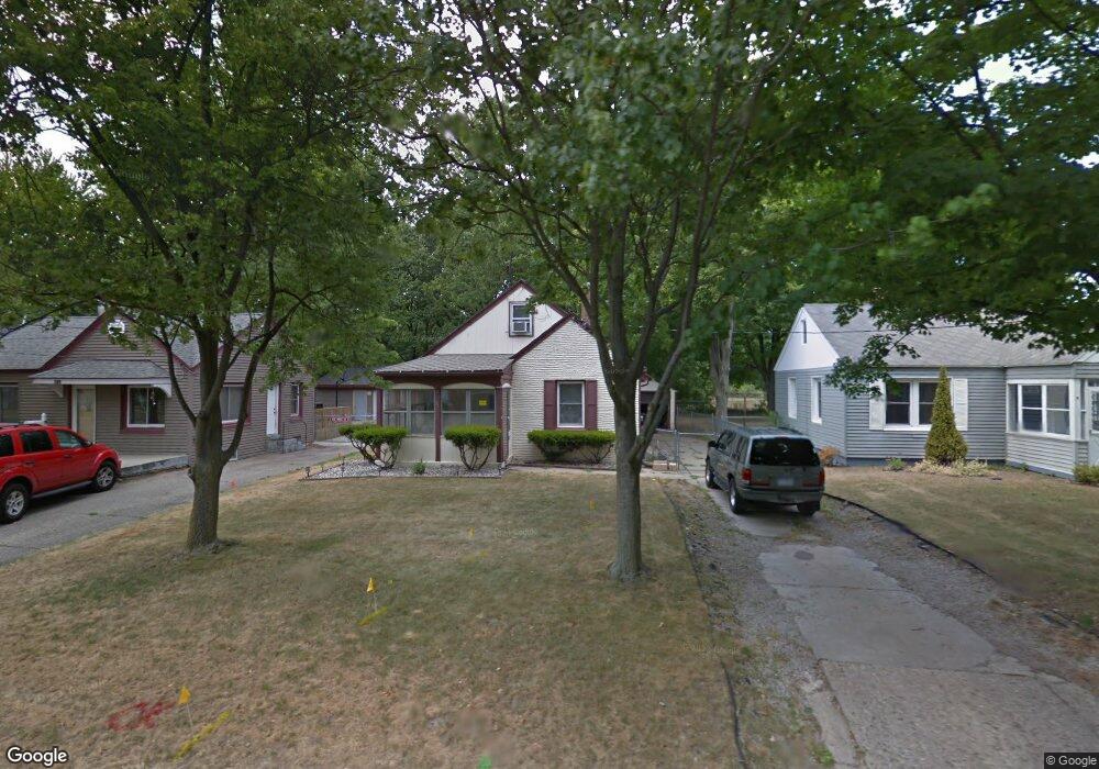
345 Cornell Dr Battle Creek, MI 49017
Northeast Battle Creek NeighborhoodEstimated Value: $115,000 - $126,943
2
Beds
1
Bath
796
Sq Ft
$152/Sq Ft
Est. Value
About This Home
This home is located at 345 Cornell Dr, Battle Creek, MI 49017 and is currently estimated at $120,986, approximately $151 per square foot. 345 Cornell Dr is a home located in Calhoun County with nearby schools including Verona Elementary School, Northwestern Middle School, and Battle Creek Central High School.
Ownership History
Date
Name
Owned For
Owner Type
Purchase Details
Closed on
Mar 17, 2015
Sold by
Barnes Doris
Bought by
Barnes Quelona D
Current Estimated Value
Purchase Details
Closed on
May 2, 2008
Sold by
Brown Kamila and Brown Thomas
Bought by
Wm Specialty Mortgage Llc
Purchase Details
Closed on
Jul 27, 2004
Sold by
Brown Kamila and Robinson Kamila
Bought by
Brown Thomas and Brown Kamila
Purchase Details
Closed on
Aug 4, 1998
Bought by
Robinson
Create a Home Valuation Report for This Property
The Home Valuation Report is an in-depth analysis detailing your home's value as well as a comparison with similar homes in the area
Home Values in the Area
Average Home Value in this Area
Purchase History
| Date | Buyer | Sale Price | Title Company |
|---|---|---|---|
| Barnes Quelona D | -- | None Available | |
| Wm Specialty Mortgage Llc | $80,114 | None Available | |
| Brown Thomas | -- | Devon Title | |
| Robinson | $63,500 | -- |
Source: Public Records
Tax History Compared to Growth
Tax History
| Year | Tax Paid | Tax Assessment Tax Assessment Total Assessment is a certain percentage of the fair market value that is determined by local assessors to be the total taxable value of land and additions on the property. | Land | Improvement |
|---|---|---|---|---|
| 2025 | -- | $45,300 | $0 | $0 |
| 2024 | $977 | $41,197 | $0 | $0 |
| 2023 | $1,117 | $35,373 | $0 | $0 |
| 2022 | $882 | $31,306 | $0 | $0 |
| 2021 | $1,053 | $27,921 | $0 | $0 |
| 2020 | $1,379 | $28,846 | $0 | $0 |
| 2019 | $1,371 | $25,606 | $0 | $0 |
| 2018 | $1,371 | $25,225 | $1,366 | $23,859 |
| 2017 | $1,335 | $25,452 | $0 | $0 |
| 2016 | $1,331 | $21,865 | $0 | $0 |
| 2015 | $968 | $20,629 | $2,456 | $18,173 |
| 2014 | $968 | $21,005 | $2,456 | $18,549 |
Source: Public Records
Map
Nearby Homes
- 276 Mckinley Ave N
- 292 Hunter St
- 274 Central St
- 174 East Ave N
- 21 Bryant St
- 261 Emmett St E
- 31 Oxford St
- 195 Union St N
- 495 Emmett St E
- 176 Union St N
- 40 Oxford St
- 731 Roosevelt Ave E
- 955 Capital Ave NE
- 561 Garrison Rd
- 179 Bryant St
- 162 Orchard Ave
- 90 N Broad St
- 20 Piper Ave
- 186 Bryant St
- 0 Capital Ave NE
- 341 Cornell Dr
- 353 Cornell Dr
- 337 Cornell Dr
- 357 Cornell Dr
- 333 Cornell Dr
- 346 Cornell Dr
- 342 Cornell Dr
- 350 Cornell Dr
- 361 Cornell Dr
- 329 Cornell Dr
- 338 Cornell Dr
- 354 Cornell Dr
- 358 Cornell Dr
- 365 Cornell Dr
- 325 Cornell Dr
- 330 Cornell Dr
- 45 Morley St
- 326 Cornell Dr
- 337 Pleasantview Dr
- 341 Pleasantview Dr