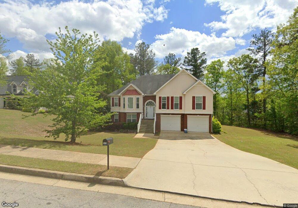
345 Creekside Cir Unit 156 Hampton, GA 30228
Estimated Value: $364,881 - $375,000
5
Beds
3
Baths
2,964
Sq Ft
$125/Sq Ft
Est. Value
About This Home
This home is located at 345 Creekside Cir Unit 156, Hampton, GA 30228 and is currently estimated at $369,220, approximately $124 per square foot. 345 Creekside Cir Unit 156 is a home located in Henry County with nearby schools including Rocky Creek Elementary School, Hampton Middle School, and Hampton High School.
Ownership History
Date
Name
Owned For
Owner Type
Purchase Details
Closed on
Oct 24, 2024
Sold by
Bradna Morand
Bought by
Burgess Megean
Current Estimated Value
Purchase Details
Closed on
Nov 3, 2006
Sold by
Den-Ric Corp
Bought by
Burgess Megean and Morand Bradna
Home Financials for this Owner
Home Financials are based on the most recent Mortgage that was taken out on this home.
Original Mortgage
$22,000
Interest Rate
6.31%
Mortgage Type
New Conventional
Create a Home Valuation Report for This Property
The Home Valuation Report is an in-depth analysis detailing your home's value as well as a comparison with similar homes in the area
Home Values in the Area
Average Home Value in this Area
Purchase History
| Date | Buyer | Sale Price | Title Company |
|---|---|---|---|
| Burgess Megean | -- | -- | |
| Burgess Megean | $197,900 | -- |
Source: Public Records
Mortgage History
| Date | Status | Borrower | Loan Amount |
|---|---|---|---|
| Previous Owner | Burgess Megean | $22,000 | |
| Previous Owner | Burgess Megean | $148,425 |
Source: Public Records
Tax History Compared to Growth
Tax History
| Year | Tax Paid | Tax Assessment Tax Assessment Total Assessment is a certain percentage of the fair market value that is determined by local assessors to be the total taxable value of land and additions on the property. | Land | Improvement |
|---|---|---|---|---|
| 2025 | $5,107 | $129,188 | $16,000 | $113,188 |
| 2024 | $5,107 | $140,880 | $16,000 | $124,880 |
| 2023 | $5,382 | $134,880 | $14,000 | $120,880 |
| 2022 | $4,789 | $117,840 | $14,000 | $103,840 |
| 2021 | $3,372 | $93,120 | $14,000 | $79,120 |
| 2020 | $3,047 | $84,160 | $12,000 | $72,160 |
| 2019 | $2,982 | $81,000 | $10,000 | $71,000 |
| 2018 | $2,639 | $72,200 | $10,000 | $62,200 |
| 2016 | $2,549 | $69,880 | $6,000 | $63,880 |
| 2015 | $2,349 | $62,200 | $6,000 | $56,200 |
| 2014 | $2,138 | $56,200 | $6,000 | $50,200 |
Source: Public Records
Map
Nearby Homes
- 441 Windpher Ridge Unit 212
- 528 Gristmill Ln
- 230 Creekside Cir
- 101 Crestwood Ct
- 260 Sandstone Dr
- 101 Bridgemill Dr
- 81 Bridgemill Dr Unit 1
- 116 Rolling Meadows Ct
- 248 Fern Ct
- 120 Bridgemill Dr
- 445 Sawmill Trace
- 2040 Elm Grove Ln
- 1141 Norsworthy Mill
- 446 Sawmill Trace
- 2012 Elm Grove Ln
- 169 Cabin Way
- 1412 Turnbridge Walk
- 231 Norfolk Dr
- 53 Elm St
- 345 Creekside Cir
- 335 Creekside Cir Unit 157
- 335 Creekside Cir
- 340 Windpher Ridge
- 330 Windpher Ridge Unit 154
- 330 Windpher Ridge
- 61 Brooks Cir
- 320 Creekside Cir Unit 1500
- 320 Creekside Cir
- 325 Creekside Cir
- 51 Knolls Ridge
- 320 Windpher Ridge
- 0 Knolls Ridge Unit 8533634
- 0 Knolls Ridge Unit 8850402
- 0 Knolls Ridge
- 71 Brooks Cir
- 350 Windpher Ridge
- 350 Windpher Ridge Unit 185
- 340 Creekside Cir Unit 185
- 340 Creekside Cir