345 Davis St West Fork, AR 72774
Estimated Value: $318,000 - $578,000
Studio
2
Baths
1,822
Sq Ft
$230/Sq Ft
Est. Value
About This Home
This home is located at 345 Davis St, West Fork, AR 72774 and is currently estimated at $419,287, approximately $230 per square foot. 345 Davis St is a home located in Washington County with nearby schools including Greenland Middle School, Greenland Elementary School, and Greenland High School.
Ownership History
Date
Name
Owned For
Owner Type
Purchase Details
Closed on
Dec 2, 2010
Sold by
Parker Charles Robert and Parker Winona Marie
Bought by
Sandven Martha L
Current Estimated Value
Home Financials for this Owner
Home Financials are based on the most recent Mortgage that was taken out on this home.
Original Mortgage
$124,000
Outstanding Balance
$81,646
Interest Rate
4.23%
Mortgage Type
New Conventional
Estimated Equity
$337,641
Purchase Details
Closed on
Aug 7, 1989
Bought by
Parker Charles Robert and Parker Winona
Create a Home Valuation Report for This Property
The Home Valuation Report is an in-depth analysis detailing your home's value as well as a comparison with similar homes in the area
Home Values in the Area
Average Home Value in this Area
Purchase History
| Date | Buyer | Sale Price | Title Company |
|---|---|---|---|
| Sandven Martha L | $155,000 | Waco Title Company | |
| Parker Charles Robert | $83,000 | -- |
Source: Public Records
Mortgage History
| Date | Status | Borrower | Loan Amount |
|---|---|---|---|
| Open | Sandven Martha L | $124,000 |
Source: Public Records
Tax History
| Year | Tax Paid | Tax Assessment Tax Assessment Total Assessment is a certain percentage of the fair market value that is determined by local assessors to be the total taxable value of land and additions on the property. | Land | Improvement |
|---|---|---|---|---|
| 2025 | $745 | $42,710 | $9,290 | $33,420 |
| 2024 | $787 | $42,710 | $9,290 | $33,420 |
| 2023 | $820 | $42,710 | $9,290 | $33,420 |
| 2022 | $862 | $28,670 | $5,090 | $23,580 |
| 2021 | $811 | $28,670 | $5,090 | $23,580 |
| 2020 | $759 | $28,670 | $5,090 | $23,580 |
| 2019 | $707 | $22,440 | $4,260 | $18,180 |
| 2018 | $732 | $22,440 | $4,260 | $18,180 |
| 2017 | $636 | $22,440 | $4,260 | $18,180 |
| 2016 | $646 | $22,440 | $4,260 | $18,180 |
| 2015 | $555 | $22,440 | $4,260 | $18,180 |
| 2014 | $467 | $17,960 | $4,230 | $13,730 |
Source: Public Records
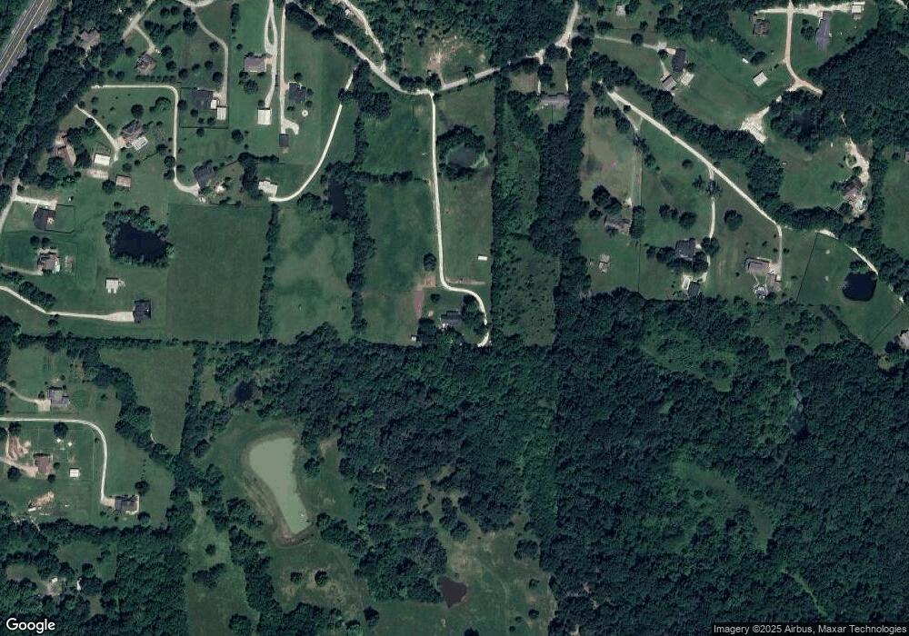
Map
Nearby Homes
- TBD Butterfield Ave
- 12145 Flowers Rd
- 443 Buckboard Rd
- 1329 Homestead Ln
- 67 S Red Oak Ave
- 106 Pleasant St
- 12825 E Wallin Mountain Rd
- 11322 SW Campbell Rd
- 14630 E Wallin Mountain Rd
- 0000 Highway 170
- 224 Maple Ave
- 0 W Carrol St
- 185 Wheeler St
- 657 W Carrol St
- 10982 Tony Mountain Rd
- 10845 SW Campbell Rd
- 815 James Place
- 11498 Tony Mountain Rd
- 0 Path Trail Rd
- 222 Rivendale Dr
Your Personal Tour Guide
Ask me questions while you tour the home.