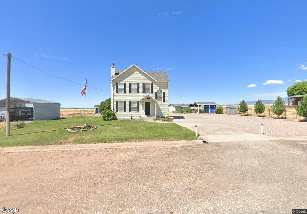
345 E 100 N Meadow, UT 84644
Estimated Value: $294,000 - $302,000
Studio
--
Bath
--
Sq Ft
64,033
Sq Ft
About This Home
This home is located at 345 E 100 N, Meadow, UT 84644 and is currently estimated at $298,000. 345 E 100 N is a home.
Ownership History
Date
Name
Owned For
Owner Type
Purchase Details
Closed on
Mar 26, 2020
Sold by
Peacock Delores and Peacock Alan V
Bought by
Maxfield Ralph D
Current Estimated Value
Purchase Details
Closed on
Mar 24, 2020
Sold by
Maxfield Ralph D
Bought by
Maxfield Ralph and Maxfield Britany
Purchase Details
Closed on
May 17, 2013
Sold by
Federal Home Loan Mortgage Corporation
Bought by
Peacock Delores and Peacock Alan V
Home Financials for this Owner
Home Financials are based on the most recent Mortgage that was taken out on this home.
Original Mortgage
$73,600
Interest Rate
3.38%
Mortgage Type
New Conventional
Purchase Details
Closed on
Sep 24, 2012
Sold by
Bautista David A and Bautista Lisa M
Bought by
Federal Home Loan Mortgage Corporation
Create a Home Valuation Report for This Property
The Home Valuation Report is an in-depth analysis detailing your home's value as well as a comparison with similar homes in the area
Purchase History
| Date | Buyer | Sale Price | Title Company |
|---|---|---|---|
| Maxfield Ralph D | -- | None Available | |
| Maxfield Ralph | -- | First American Title | |
| Peacock Delores | -- | -- | |
| Federal Home Loan Mortgage Corporation | -- | Security Title Insurance Co |
Source: Public Records
Mortgage History
| Date | Status | Borrower | Loan Amount |
|---|---|---|---|
| Previous Owner | Peacock Delores | $73,600 |
Source: Public Records
Tax History
| Year | Tax Paid | Tax Assessment Tax Assessment Total Assessment is a certain percentage of the fair market value that is determined by local assessors to be the total taxable value of land and additions on the property. | Land | Improvement |
|---|---|---|---|---|
| 2025 | $581 | $178,987 | $47,600 | $131,387 |
| 2024 | $581 | $168,619 | $33,427 | $135,192 |
| 2023 | $1,668 | $168,619 | $33,427 | $135,192 |
| 2022 | $1,373 | $126,541 | $27,400 | $99,141 |
| 2021 | $1,059 | $93,272 | $23,826 | $69,446 |
| 2020 | $924 | $81,976 | $19,855 | $62,121 |
| 2019 | $811 | $72,041 | $18,050 | $53,991 |
| 2018 | $804 | $73,268 | $18,050 | $55,218 |
| 2017 | $840 | $73,268 | $18,050 | $55,218 |
| 2016 | $834 | $75,335 | $20,400 | $54,935 |
| 2015 | $834 | $75,335 | $20,400 | $54,935 |
| 2014 | -- | $75,335 | $20,400 | $54,935 |
| 2013 | -- | $66,091 | $20,400 | $45,691 |
Source: Public Records
Map
Nearby Homes
- 50 N 100 Rd E
- 1565 W Sunflower Ln Unit 3
- 1615 W Sunflower Ln
- 1615 W Sunflower Ln Unit 4
- 1565 W Sunflower Ln
- 2000 N West Frontage I-15
- 1100 S 725 Rd W
- 135 E 200 N
- 310 S 500 West Rd
- 465 S 100 W
- 155 E 500 St S
- 157 E 500 South St
- 190 S 200 W
- 351 W 100 South St
- 405 E 500 St S
- 155 W Center St
- 58 E 300 South St
- 235 S 200 St E
- 775 E Valley View Rd
- 75 N 100 West St
Your Personal Tour Guide
Ask me questions while you tour the home.