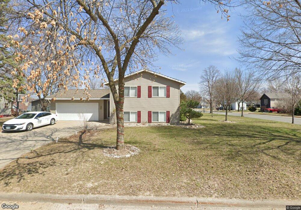
345 Erie St SE Hutchinson, MN 55350
Estimated Value: $203,000 - $255,901
3
Beds
2
Baths
1,036
Sq Ft
$222/Sq Ft
Est. Value
About This Home
This home is located at 345 Erie St SE, Hutchinson, MN 55350 and is currently estimated at $230,475, approximately $222 per square foot. 345 Erie St SE is a home located in McLeod County with nearby schools including Hutchinson West Elementary School, Hutchinson Park Elementary School, and Hutchinson Middle School.
Ownership History
Date
Name
Owned For
Owner Type
Purchase Details
Closed on
Aug 5, 2020
Sold by
Martin Michael G and Wigern Kimberly A
Bought by
Martin Michael and Martin Kimberly
Current Estimated Value
Home Financials for this Owner
Home Financials are based on the most recent Mortgage that was taken out on this home.
Original Mortgage
$164,000
Outstanding Balance
$145,208
Interest Rate
2.9%
Mortgage Type
New Conventional
Estimated Equity
$85,267
Create a Home Valuation Report for This Property
The Home Valuation Report is an in-depth analysis detailing your home's value as well as a comparison with similar homes in the area
Home Values in the Area
Average Home Value in this Area
Purchase History
| Date | Buyer | Sale Price | Title Company |
|---|---|---|---|
| Martin Michael | -- | None Available |
Source: Public Records
Mortgage History
| Date | Status | Borrower | Loan Amount |
|---|---|---|---|
| Open | Martin Michael | $164,000 |
Source: Public Records
Tax History Compared to Growth
Tax History
| Year | Tax Paid | Tax Assessment Tax Assessment Total Assessment is a certain percentage of the fair market value that is determined by local assessors to be the total taxable value of land and additions on the property. | Land | Improvement |
|---|---|---|---|---|
| 2024 | $3,118 | $238,000 | $56,600 | $181,400 |
| 2023 | $3,110 | $230,600 | $56,600 | $174,000 |
| 2022 | $2,784 | $218,700 | $53,800 | $164,900 |
| 2021 | $2,596 | $183,800 | $47,000 | $136,800 |
| 2020 | $2,538 | $165,900 | $42,700 | $123,200 |
| 2019 | $2,292 | $158,900 | $42,700 | $116,200 |
| 2018 | $2,132 | $0 | $0 | $0 |
| 2017 | $2,094 | $0 | $0 | $0 |
| 2016 | $1,982 | $0 | $0 | $0 |
| 2015 | $1,786 | $0 | $0 | $0 |
| 2014 | -- | $0 | $0 | $0 |
Source: Public Records
Map
Nearby Homes
- 426 Monroe St SE
- 315 Adams St SE
- 533 Huron St SE
- 205 Adams St SE
- 436 Adams St SE
- 135 4th Ave SE
- 207 4th Ave NE
- 1025 5th Ave SE
- 726 Ivy Ln SE
- 569 Glen St SW
- 505/515 Hilltop Canyon NE
- 310 & 312 4th Ave SW
- 321 Highway 7 E
- 805 Franklin St SW
- 524 Bluff St NE
- 616 Brown St SW
- 839 Hilltop Dr NE
- 664 Hilltop Dr NE
- 104 Mark Dr NE
- 584 Bluff St NE
- 331 Erie St SE
- 331 331 Erie St SE
- 535 4th Ave SE
- 535 4th Ave SE
- 405 Erie St SE
- 321 Erie St SE
- 545 4th Ave SE
- 336 Erie St SE
- 346 Erie St SE
- 336 Erie St SE
- 415 Erie St SE
- 326 Erie St SE
- 305 Erie St SE
- 406 Erie St SE
- 416 Huron St SE
- 316 Erie St SE
- 425 Erie St SE
- 416 Erie St SE
- 416 416 Erie St SE
- 306 Erie St SE