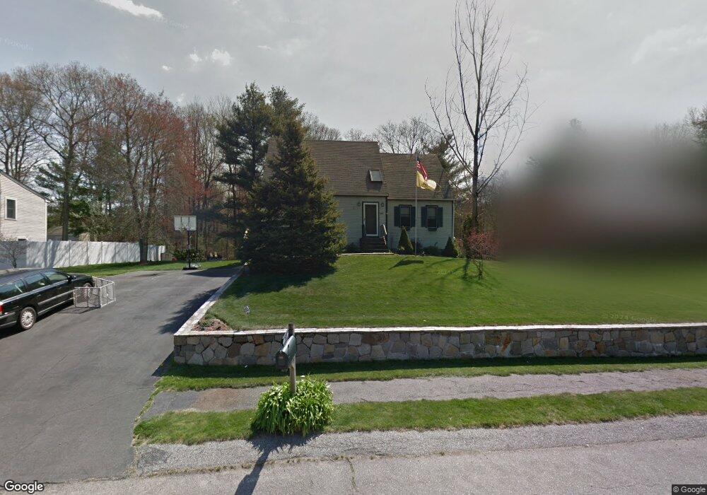
345 King James Blvd Taunton, MA 02780
Weir Village NeighborhoodEstimated Value: $540,000 - $580,000
4
Beds
2
Baths
1,867
Sq Ft
$300/Sq Ft
Est. Value
About This Home
This home is located at 345 King James Blvd, Taunton, MA 02780 and is currently estimated at $559,360, approximately $299 per square foot. 345 King James Blvd is a home located in Bristol County with nearby schools including Elizabeth Pole School, Taunton High School, and John F. Parker Middle School.
Ownership History
Date
Name
Owned For
Owner Type
Purchase Details
Closed on
Nov 15, 2002
Sold by
Palmer Gary P and Palmer Kathleen M
Bought by
Cochrane Francis A and Cochrane Danielle
Current Estimated Value
Home Financials for this Owner
Home Financials are based on the most recent Mortgage that was taken out on this home.
Original Mortgage
$240,000
Outstanding Balance
$100,599
Interest Rate
6.03%
Mortgage Type
Purchase Money Mortgage
Estimated Equity
$458,761
Purchase Details
Closed on
Mar 2, 1992
Sold by
Jnk Dev Corp
Bought by
Palmer Gary P and Palmer Kathleen M
Home Financials for this Owner
Home Financials are based on the most recent Mortgage that was taken out on this home.
Original Mortgage
$119,000
Interest Rate
8.38%
Mortgage Type
Purchase Money Mortgage
Create a Home Valuation Report for This Property
The Home Valuation Report is an in-depth analysis detailing your home's value as well as a comparison with similar homes in the area
Home Values in the Area
Average Home Value in this Area
Purchase History
| Date | Buyer | Sale Price | Title Company |
|---|---|---|---|
| Cochrane Francis A | $270,000 | -- | |
| Palmer Gary P | $142,900 | -- |
Source: Public Records
Mortgage History
| Date | Status | Borrower | Loan Amount |
|---|---|---|---|
| Open | Palmer Gary P | $240,000 | |
| Previous Owner | Palmer Gary P | $21,000 | |
| Previous Owner | Palmer Gary P | $119,000 |
Source: Public Records
Tax History Compared to Growth
Tax History
| Year | Tax Paid | Tax Assessment Tax Assessment Total Assessment is a certain percentage of the fair market value that is determined by local assessors to be the total taxable value of land and additions on the property. | Land | Improvement |
|---|---|---|---|---|
| 2025 | $4,861 | $444,300 | $133,000 | $311,300 |
| 2024 | $4,507 | $402,800 | $133,000 | $269,800 |
| 2023 | $4,336 | $359,800 | $126,900 | $232,900 |
| 2022 | $4,202 | $318,800 | $115,800 | $203,000 |
| 2021 | $4,154 | $292,500 | $105,300 | $187,200 |
| 2020 | $3,981 | $267,900 | $105,300 | $162,600 |
| 2019 | $4,083 | $259,100 | $105,300 | $153,800 |
| 2018 | $3,880 | $246,800 | $106,400 | $140,400 |
| 2017 | $3,678 | $234,100 | $100,800 | $133,300 |
| 2016 | $3,545 | $226,100 | $97,900 | $128,200 |
| 2015 | $3,458 | $230,400 | $96,000 | $134,400 |
| 2014 | $3,262 | $223,300 | $96,000 | $127,300 |
Source: Public Records
Map
Nearby Homes
- 165 King James Blvd
- 26 Maynard St Unit A
- 28 Barbara Rd
- 55 Donna Terrace
- 31 Bruno's Way Unit A
- 106 Alicia Dr
- 168 Hart St Unit 22
- 147 Colonial Dr
- 600 County St
- 600 County St Lot A
- 600
- 23 Johnson St Unit A
- 23 Johnson St Unit C
- 0 S Main St Unit 73443212
- 170 Hart St Unit B
- 218R Hart St Unit B
- 218R Hart St Unit A
- 152 Forgeriver
- 11 Williams St
- 208 S Main St
- 335 King James Blvd
- 355 King James Blvd
- 340 King James Blvd
- 350 King James Blvd
- 9 Queen Elizabeth Ln
- 21 Queen Elizabeth Ln
- 360 King James Blvd
- 18 Queen Elizabeth Ln
- 370 King James Blvd
- 35 Queen Elizabeth Ln
- 139 Power St
- 149 Power St
- 310 King James Blvd
- 28 Queen Elizabeth Ln
- 385 King James Blvd
- 129 Power St
- 159 Power St
- 380 King James Blvd
- 53 Queen Elizabeth Ln
- 169 Power St