345 Panther Point Trail Richfield, NC 28137
Estimated Value: $264,611 - $547,000
--
Bed
1
Bath
1,116
Sq Ft
$363/Sq Ft
Est. Value
About This Home
This home is located at 345 Panther Point Trail, Richfield, NC 28137 and is currently estimated at $405,653, approximately $363 per square foot. 345 Panther Point Trail is a home located in Rowan County with nearby schools including Morgan Elementary School, Charles C Erwin Middle School, and East Rowan High School.
Ownership History
Date
Name
Owned For
Owner Type
Purchase Details
Closed on
Jun 10, 2019
Sold by
Chambers Sue S
Bought by
Six Steven Mark
Current Estimated Value
Home Financials for this Owner
Home Financials are based on the most recent Mortgage that was taken out on this home.
Original Mortgage
$159,493
Interest Rate
4.2%
Mortgage Type
FHA
Purchase Details
Closed on
May 14, 1999
Bought by
Chambers Sue S
Create a Home Valuation Report for This Property
The Home Valuation Report is an in-depth analysis detailing your home's value as well as a comparison with similar homes in the area
Home Values in the Area
Average Home Value in this Area
Purchase History
| Date | Buyer | Sale Price | Title Company |
|---|---|---|---|
| Six Steven Mark | $165,500 | None Available | |
| Chambers Sue S | -- | -- |
Source: Public Records
Mortgage History
| Date | Status | Borrower | Loan Amount |
|---|---|---|---|
| Open | Six Steven Mark | $60,000 | |
| Open | Six Steven Mark | $157,924 | |
| Closed | Six Steven Mark | $159,493 |
Source: Public Records
Tax History Compared to Growth
Tax History
| Year | Tax Paid | Tax Assessment Tax Assessment Total Assessment is a certain percentage of the fair market value that is determined by local assessors to be the total taxable value of land and additions on the property. | Land | Improvement |
|---|---|---|---|---|
| 2024 | $1,260 | $188,111 | $117,500 | $70,611 |
| 2023 | $1,260 | $188,111 | $117,500 | $70,611 |
| 2022 | $1,113 | $148,933 | $103,500 | $45,433 |
| 2021 | $1,113 | $148,933 | $103,500 | $45,433 |
| 2020 | $1,113 | $148,933 | $103,500 | $45,433 |
| 2019 | $964 | $128,971 | $103,500 | $25,471 |
| 2018 | $873 | $117,762 | $92,500 | $25,262 |
| 2017 | $873 | $117,762 | $92,500 | $25,262 |
| 2016 | $850 | $117,762 | $92,500 | $25,262 |
| 2015 | $863 | $117,762 | $92,500 | $25,262 |
| 2014 | $831 | $118,403 | $92,500 | $25,903 |
Source: Public Records
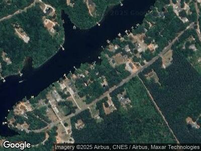
Map
Nearby Homes
- 639 Panther Point Trail
- 722 Emerald Bay Dr
- 1026 Emerald Bay Dr
- 408 Emerald Bay Dr
- 12770 Bringle Ferry Rd
- Lot 26 Playground Ln
- 2454 Rocky Cove Ln
- 00 Panther Creek Rd
- 268 Sirocco Dr W
- 268 Sirocco Dr W Unit 43
- 265 Sailboat Dr
- 0 Playground Ln Unit 1170706
- 0 Playground Ln Unit L25-26 CAR4222360
- 140 Swimmers Ln
- 0 Wyatt Grove Church Rd
- 196 Sierra Trace Rd
- Lot #2 Sailboat Dr
- 132 Swimmers Ln
- 232 Sierra Trace Rd
- 0 Scout Rd
- 345 Panther Point Trail
- 365 Panther Point Trail
- 00 Panther Point Trail
- 335 Panther Point Trail
- 455 Panther Point Trail
- 325 Panther Point Trail
- 525 Panther Point Trail
- 390 Panther Point Trail
- 275 Panther Point Trail
- 565 Panther Point Trail
- 245 Panther Point Trail
- 595 Panther Point Trail
- 235 Panther Point Trail
- 225 Panther Point Trail
- 510 Panther Point Trail
- 635 Panther Point Trail
- 175 Panther Point Trail
- 180 Panther Point Trail
- 710 Emerald Bay Dr
- 641 Panther Point Trail