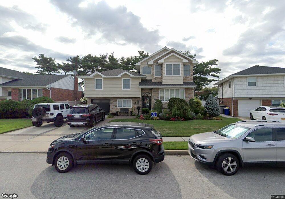
345 Ribbon St Franklin Square, NY 11010
Estimated Value: $926,000 - $1,091,501
--
Bed
3
Baths
2,086
Sq Ft
$484/Sq Ft
Est. Value
About This Home
This home is located at 345 Ribbon St, Franklin Square, NY 11010 and is currently estimated at $1,008,751, approximately $483 per square foot. 345 Ribbon St is a home located in Nassau County.
Ownership History
Date
Name
Owned For
Owner Type
Purchase Details
Closed on
Jun 13, 2017
Sold by
Caviedes Nydia
Bought by
Castineiras Manuel A
Current Estimated Value
Home Financials for this Owner
Home Financials are based on the most recent Mortgage that was taken out on this home.
Original Mortgage
$311,000
Outstanding Balance
$258,687
Interest Rate
4.02%
Mortgage Type
New Conventional
Estimated Equity
$750,064
Purchase Details
Closed on
Aug 24, 2006
Sold by
Melas Peter
Bought by
Razzano Anthony
Purchase Details
Closed on
Apr 22, 2006
Sold by
Melas Sue
Create a Home Valuation Report for This Property
The Home Valuation Report is an in-depth analysis detailing your home's value as well as a comparison with similar homes in the area
Home Values in the Area
Average Home Value in this Area
Purchase History
| Date | Buyer | Sale Price | Title Company |
|---|---|---|---|
| Castineiras Manuel A | -- | None Available | |
| Razzano Anthony | $440,000 | -- | |
| -- | -- | -- | |
| -- | -- | -- |
Source: Public Records
Mortgage History
| Date | Status | Borrower | Loan Amount |
|---|---|---|---|
| Open | Castineiras Manuel A | $311,000 |
Source: Public Records
Tax History Compared to Growth
Tax History
| Year | Tax Paid | Tax Assessment Tax Assessment Total Assessment is a certain percentage of the fair market value that is determined by local assessors to be the total taxable value of land and additions on the property. | Land | Improvement |
|---|---|---|---|---|
| 2025 | $11,807 | $634 | $247 | $387 |
| 2024 | $4,472 | $620 | $241 | $379 |
| 2023 | $11,108 | $653 | $169 | $484 |
| 2022 | $11,108 | $575 | $254 | $321 |
| 2021 | $16,131 | $593 | $262 | $331 |
| 2020 | $13,443 | $910 | $381 | $529 |
| 2019 | $14,224 | $1,174 | $491 | $683 |
| 2018 | $17,421 | $1,174 | $0 | $0 |
| 2017 | $9,771 | $1,174 | $491 | $683 |
| 2016 | $15,742 | $1,174 | $491 | $683 |
| 2015 | $5,580 | $1,174 | $491 | $683 |
| 2014 | $5,580 | $1,174 | $491 | $683 |
| 2013 | $5,321 | $1,198 | $546 | $652 |
Source: Public Records
Map
Nearby Homes
- 576 Western Park Dr
- 757 Marion St
- 279 Semton Blvd
- 249 Grange St
- 231 Dogwood Ave
- 350 Paul Place
- 19 Richard St
- 198 Guildford Ct
- 791 Caryl St
- 190 Commonwealth St
- 303 Nassau Blvd
- 144 Rintin St
- 594 Fenworth Blvd
- 301 Hoffman St
- 600 Dogwood Ave
- 149 Rule St
- 956 Hancock Ave
- 242 James St
- 249 Hoffman St
- 56 Fendale St
- 349 Ribbon St
- 339 Ribbon St
- 353 Ribbon St
- 333 Ribbon St
- 340 Ribbon St
- 360 Dogwood Ave
- 366 Dogwood Ave
- 366 Dogwood Ave Unit 366
- 368 Dogwood Ave
- 345 Grange St
- 362 Dogwood Ave
- 332 Ribbon St
- 357 Ribbon St
- 340 Dogwood Ave
- 340 Dogwood Ave Unit 109
- 326 Ribbon St
- 335 Grange St
- 739 Princeton Rd
- 329 Grange St
- 351 Dogwood Ave