3450 Quaas Ave Watertown, MN 55388
Estimated Value: $560,000 - $813,993
4
Beds
1
Bath
1,800
Sq Ft
$360/Sq Ft
Est. Value
About This Home
This home is located at 3450 Quaas Ave, Watertown, MN 55388 and is currently estimated at $647,331, approximately $359 per square foot. 3450 Quaas Ave is a home located in Carver County with nearby schools including Watertown-Mayer Elementary School, Watertown-Mayer Middle School, and Watertown Mayer High School.
Ownership History
Date
Name
Owned For
Owner Type
Purchase Details
Closed on
Oct 1, 2019
Sold by
Akins Peter and Akins Pamela
Bought by
Akins Farm Property Llc
Current Estimated Value
Purchase Details
Closed on
Jun 19, 2013
Sold by
Akins Paul W and Akins Jolene V
Bought by
Akins Peter and Otto Dawn
Create a Home Valuation Report for This Property
The Home Valuation Report is an in-depth analysis detailing your home's value as well as a comparison with similar homes in the area
Home Values in the Area
Average Home Value in this Area
Purchase History
| Date | Buyer | Sale Price | Title Company |
|---|---|---|---|
| Akins Farm Property Llc | -- | None Available | |
| Akins Peter | -- | None Available |
Source: Public Records
Tax History Compared to Growth
Tax History
| Year | Tax Paid | Tax Assessment Tax Assessment Total Assessment is a certain percentage of the fair market value that is determined by local assessors to be the total taxable value of land and additions on the property. | Land | Improvement |
|---|---|---|---|---|
| 2025 | $4,598 | $722,900 | $583,700 | $139,200 |
| 2024 | $4,232 | $700,100 | $560,900 | $139,200 |
| 2023 | $3,758 | $637,700 | $498,500 | $139,200 |
| 2022 | $3,970 | $370,900 | $365,500 | $5,400 |
| 2021 | $4,150 | $365,100 | $359,700 | $5,400 |
| 2020 | $3,254 | $135,300 | $50,000 | $85,300 |
| 2019 | $3,316 | $421,400 | $416,000 | $5,400 |
| 2018 | $2,594 | $471,400 | $418,000 | $53,400 |
| 2017 | $2,898 | $471,400 | $418,000 | $53,400 |
| 2016 | $2,846 | $483,500 | $0 | $0 |
| 2015 | $3,004 | $483,500 | $0 | $0 |
| 2014 | $3,004 | $465,000 | $0 | $0 |
Source: Public Records
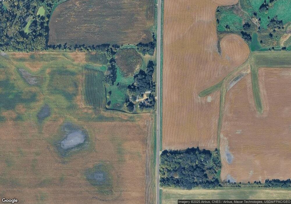
Map
Nearby Homes
- 1221 Bishop Cir
- 1290 Knight Ln
- 1201 Bishop Cir
- 536 Industrial Blvd
- 516 Industrial Blvd
- 555 Industrial Blvd
- 865 Quail Ct
- 575 Industrial Blvd
- XXX Newton Ave SE
- 593 Sienna Dr
- 578 Sienna Dr
- 829 Reo Rd
- 600 Jefferson Ave SW
- 313 Angel Ave SW
- 408 Franklin Ave SW
- 12120 County Road 24
- xxx Stevens St SW
- 115 Riverside Terrace Dr Unit 115
- 605 Stevens St SW Unit 43
- 1316 Balsam Ln
- 3565 Quaas Ave
- 12975 32nd St
- 13080 32nd St
- 3735 Quaas Ave
- 3185 Newton Ave SE
- 3120 Newton Ave SE
- 3555 Highway 25
- 12725 31st St
- 3730 Quaas Ave
- 12715 31st St
- 3620 Highway 25
- 3324 Highway 25
- 3320 Highway 25
- 3280 Highway 25
- 3925 Quaas Ave
- 3680 Highway 25
- 3240 Highway 25
- 3330 Highway 25
- 693 Quail Pkwy
- 651 Quail Pkwy