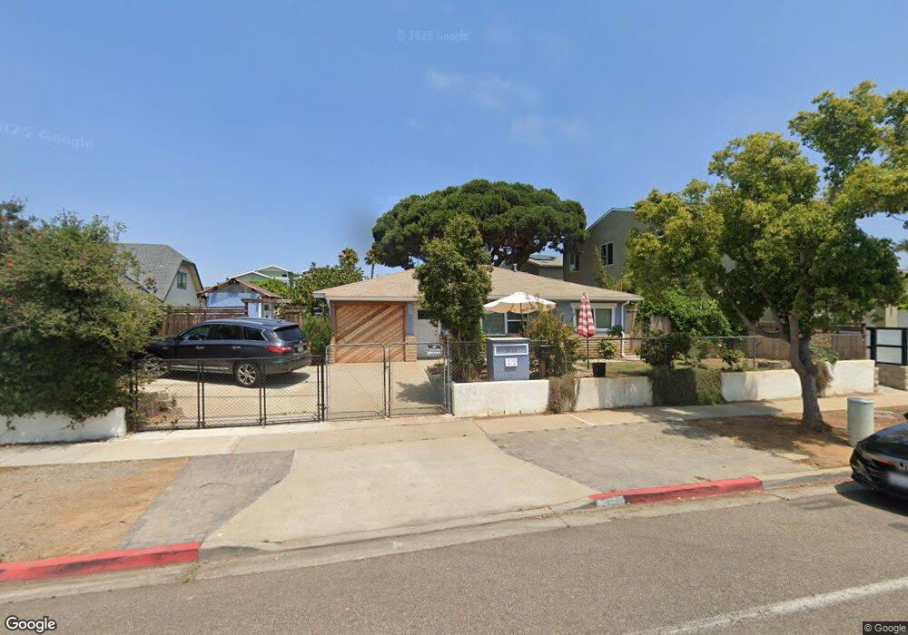
3450 Roosevelt St Unit A,B, & C Carlsbad, CA 92008
North Beach NeighborhoodEstimated Value: $1,749,000 - $2,475,386
3
Beds
2
Baths
1,049
Sq Ft
$2,065/Sq Ft
Est. Value
About This Home
This home is located at 3450 Roosevelt St Unit A,B, & C, Carlsbad, CA 92008 and is currently estimated at $2,165,847, approximately $2,064 per square foot. 3450 Roosevelt St Unit A,B, & C is a home located in San Diego County with nearby schools including Carlsbad High School, Sage Creek High, and St. Patrick Catholic School.
Ownership History
Date
Name
Owned For
Owner Type
Purchase Details
Closed on
Mar 13, 2018
Sold by
Mata Mack
Bought by
Swanson Annette
Current Estimated Value
Home Financials for this Owner
Home Financials are based on the most recent Mortgage that was taken out on this home.
Original Mortgage
$647,500
Outstanding Balance
$554,065
Interest Rate
4.32%
Mortgage Type
New Conventional
Estimated Equity
$1,611,782
Purchase Details
Closed on
Apr 30, 2007
Sold by
Mata Romalda
Bought by
Mata Romalda M
Home Financials for this Owner
Home Financials are based on the most recent Mortgage that was taken out on this home.
Original Mortgage
$80,000
Interest Rate
6.15%
Mortgage Type
Stand Alone Refi Refinance Of Original Loan
Purchase Details
Closed on
Aug 10, 2003
Sold by
Mata Romalda M
Bought by
Romalda M Mata Revocable Living Trust
Create a Home Valuation Report for This Property
The Home Valuation Report is an in-depth analysis detailing your home's value as well as a comparison with similar homes in the area
Home Values in the Area
Average Home Value in this Area
Purchase History
| Date | Buyer | Sale Price | Title Company |
|---|---|---|---|
| Swanson Annette | $925,000 | Lawyers Title | |
| Mata Romalda M | -- | Accommodation | |
| Mata Romalda | -- | Alliance Title Company | |
| Romalda M Mata Revocable Living Trust | -- | -- |
Source: Public Records
Mortgage History
| Date | Status | Borrower | Loan Amount |
|---|---|---|---|
| Open | Swanson Annette | $647,500 | |
| Previous Owner | Mata Romalda | $80,000 |
Source: Public Records
Tax History Compared to Growth
Tax History
| Year | Tax Paid | Tax Assessment Tax Assessment Total Assessment is a certain percentage of the fair market value that is determined by local assessors to be the total taxable value of land and additions on the property. | Land | Improvement |
|---|---|---|---|---|
| 2025 | $2,218 | $210,125 | $174,221 | $35,904 |
| 2024 | $2,218 | $206,005 | $170,805 | $35,200 |
| 2023 | $2,204 | $201,966 | $167,456 | $34,510 |
| 2022 | $2,169 | $198,007 | $164,173 | $33,834 |
| 2021 | $2,152 | $194,125 | $160,954 | $33,171 |
| 2020 | $2,138 | $192,135 | $159,304 | $32,831 |
| 2019 | $2,099 | $270,300 | $224,400 | $45,900 |
Source: Public Records
Map
Nearby Homes
- 3575 Madison St
- 3341 Tyler St
- 378 Acacia Ave
- 3258 Tyler St
- 385 Juniper Ave
- 368 Hemlock Ave
- 256 Juniper Ave Unit B6
- Cherry Beach Homes Plan at Cherry Beach Homes - Cherry Beach homes
- 157 Maple Ave
- 164 Cherry Ave
- 165 Sycamore Ave
- 370 Tamarack Ave
- 3097 Madison St
- 141 Cherry Ave
- 160 Hemlock Ave
- 3747-51 Adams St Plan at Adam Street Homes - Adams Street Homes
- 3755-59 Adams St Plan at Adam Street Homes - Adams Street Homes
- 3731-35 Adams St Plan at Adam Street Homes - Adams Street Homes
- 3739-43 Adams St Plan at Adam Street Homes - Adams Street Homes
- 3755 Adams St
- 3450 Roosevelt St
- 3442 Roosevelt St
- 3478 Roosevelt St
- 3430 Roosevelt St
- 3480 Roosevelt St
- 3455 Madison St
- 3461 Madison St
- 3447-49 Madison St
- 3443 Madison St
- 3449 Madison St
- 3482 Roosevelt St
- 3475 Madison St
- 3420 Roosevelt St
- adjacent t 3443 Madison St
- 3487 Madison St
- 3485 Madison St
- 3484 Roosevelt St
- 3421 Madison St
- 635 Chestnut Ave
- 3447 Madison St