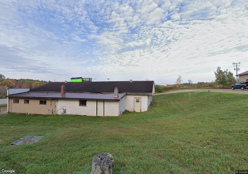
34526 W Highway 2 Cohasset, MN 55721
Estimated Value: $294,269
--
Bed
--
Bath
600
Sq Ft
$490/Sq Ft
Est. Value
About This Home
This home is located at 34526 W Highway 2, Cohasset, MN 55721 and is currently estimated at $294,269, approximately $490 per square foot. 34526 W Highway 2 is a home located in Itasca County with nearby schools including Forest Lake Elementary School, Robert J. Elkington Middle School, and Grand Rapids Senior High School.
Ownership History
Date
Name
Owned For
Owner Type
Purchase Details
Closed on
Sep 1, 2022
Sold by
Shorma Rosanne
Bought by
Shorma Paul and Shorma Kayla
Current Estimated Value
Purchase Details
Closed on
Dec 16, 2011
Sold by
Storrs Steven D
Bought by
Lifes Serendipity Inc
Purchase Details
Closed on
Dec 12, 2011
Sold by
D & T Ventures Llc
Bought by
Storrs Steven D
Purchase Details
Closed on
May 30, 2006
Sold by
D & T Ventures Llc
Bought by
Storrs Steven D
Home Financials for this Owner
Home Financials are based on the most recent Mortgage that was taken out on this home.
Original Mortgage
$150,000
Interest Rate
6.62%
Mortgage Type
Seller Take Back
Create a Home Valuation Report for This Property
The Home Valuation Report is an in-depth analysis detailing your home's value as well as a comparison with similar homes in the area
Home Values in the Area
Average Home Value in this Area
Purchase History
| Date | Buyer | Sale Price | Title Company |
|---|---|---|---|
| Shorma Paul | $243,900 | -- | |
| Lifes Serendipity Inc | $205,000 | None Available | |
| Storrs Steven D | $150,000 | None Available | |
| Storrs Steven D | $150,000 | None Available |
Source: Public Records
Mortgage History
| Date | Status | Borrower | Loan Amount |
|---|---|---|---|
| Previous Owner | Storrs Steven D | $150,000 |
Source: Public Records
Tax History Compared to Growth
Tax History
| Year | Tax Paid | Tax Assessment Tax Assessment Total Assessment is a certain percentage of the fair market value that is determined by local assessors to be the total taxable value of land and additions on the property. | Land | Improvement |
|---|---|---|---|---|
| 2024 | $8,410 | $345,800 | $101,000 | $244,800 |
| 2023 | $8,410 | $245,000 | $101,000 | $144,000 |
| 2022 | $6,876 | $243,900 | $101,000 | $142,900 |
| 2021 | $6,590 | $243,900 | $101,000 | $142,900 |
| 2020 | $6,968 | $243,900 | $101,000 | $142,900 |
| 2019 | $6,306 | $239,200 | $65,500 | $173,700 |
| 2018 | $6,016 | $228,500 | $65,500 | $163,000 |
| 2017 | $6,080 | $0 | $0 | $0 |
| 2016 | $6,050 | $0 | $0 | $0 |
| 2015 | $6,020 | $0 | $0 | $0 |
| 2014 | -- | $0 | $0 | $0 |
Source: Public Records
Map
Nearby Homes
- 2712 Alice St
- 2481 Deschepper Dr
- 25397 Island View Dr
- 35616 Alan St
- 25849 River Rd
- 35761 Lake St
- 26350 River Rd
- TBD Great Sunset Point
- 60 Polk St
- 360 Columbus Ave
- 8th Ave NW 8th St
- 604 NW 16th Ave
- 34351 Sipe Rd
- 35302 Town Line Rd
- TBD Knollwood Dr
- 22XX SW 8th St
- 2XXX SW 8th St
- 521 NW 13th St
- 895 SW 22nd Ave
- 712 NW 8th Ave
- 34526 U S 2
- 34508 Us Highway 2
- 34508 W Hwy 2
- 34508 34508 Hwy 2 W
- 34508 U S 2
- 34512 Us Highway 2
- 34462 Us Highway 2
- 26412 26412 Foxtail-Lane-
- 34685 E Grimsbo Rd
- 34763 E Grimsbo Rd
- 34867 Grimsbo Rd
- 34810 U S 2
- 35015 Grimsbo Rd
- 34877 Grimsbo Rd
- 34934 34934 Grimsbo Rd
- 34934 Grimsbo Rd
- 34934 Grimsbo Rd
- 1010 Range Line Rd
- 35015 35015 W Grimsbo Rd
- TBD W Hwy 2