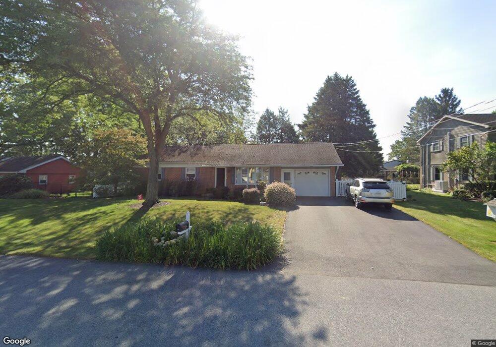
3454 Duff Ave Lancaster, PA 17601
Oyster Point NeighborhoodEstimated Value: $371,000 - $431,000
3
Beds
2
Baths
1,786
Sq Ft
$217/Sq Ft
Est. Value
About This Home
This home is located at 3454 Duff Ave, Lancaster, PA 17601 and is currently estimated at $388,006, approximately $217 per square foot. 3454 Duff Ave is a home located in Lancaster County with nearby schools including Farmdale Elementary School, Landisville Middle School, and Hempfield Senior High School.
Ownership History
Date
Name
Owned For
Owner Type
Purchase Details
Closed on
Sep 16, 2024
Sold by
Leonard Karen I
Bought by
Leonard Karen I and Leonard Rodney
Current Estimated Value
Purchase Details
Closed on
Jun 22, 2011
Sold by
Michnya Aaron M and Michnya Kerri Thomas
Bought by
Leonard Karen I
Home Financials for this Owner
Home Financials are based on the most recent Mortgage that was taken out on this home.
Original Mortgage
$180,309
Interest Rate
4.75%
Mortgage Type
FHA
Create a Home Valuation Report for This Property
The Home Valuation Report is an in-depth analysis detailing your home's value as well as a comparison with similar homes in the area
Home Values in the Area
Average Home Value in this Area
Purchase History
| Date | Buyer | Sale Price | Title Company |
|---|---|---|---|
| Leonard Karen I | -- | None Listed On Document | |
| Leonard Karen I | -- | None Listed On Document | |
| Leonard Karen I | $185,000 | None Available |
Source: Public Records
Mortgage History
| Date | Status | Borrower | Loan Amount |
|---|---|---|---|
| Previous Owner | Leonard Karen I | $180,309 |
Source: Public Records
Tax History Compared to Growth
Tax History
| Year | Tax Paid | Tax Assessment Tax Assessment Total Assessment is a certain percentage of the fair market value that is determined by local assessors to be the total taxable value of land and additions on the property. | Land | Improvement |
|---|---|---|---|---|
| 2025 | $3,852 | $170,800 | $50,000 | $120,800 |
| 2024 | $3,852 | $170,800 | $50,000 | $120,800 |
| 2023 | $3,778 | $170,800 | $50,000 | $120,800 |
| 2022 | $3,678 | $170,800 | $50,000 | $120,800 |
| 2021 | $3,605 | $170,800 | $50,000 | $120,800 |
| 2020 | $3,605 | $170,800 | $50,000 | $120,800 |
| 2019 | $3,547 | $170,800 | $50,000 | $120,800 |
| 2018 | $745 | $170,800 | $50,000 | $120,800 |
| 2017 | $4,008 | $155,900 | $49,900 | $106,000 |
| 2016 | $3,929 | $155,900 | $49,900 | $106,000 |
| 2015 | $791 | $155,900 | $49,900 | $106,000 |
| 2014 | $3,034 | $155,900 | $49,900 | $106,000 |
Source: Public Records
Map
Nearby Homes
- 667 Golden Eagle Way
- 3720 Jonas Dr
- 3714 Jonas Dr
- 710 Dustin Dr
- 501 Bald Eagle Ct
- 3411 Horizon Dr
- 3601 Horizon Dr
- 3320 Poplar Ln
- 373 Holly Hock Cir
- 3142 Briarwood Blvd
- 27 Apple Ln
- 23 Beechtree Ln
- 849 Aylesbury Dr
- 3632 Falcon Ct
- 3213 Maplecrest Terrace
- 421 Hempfield Hill Rd
- 419 LOT # 7 Hempfield Hill Rd
- Kipling Plan at Enclave at Independence Ridge
- Woodford Plan at Enclave at Independence Ridge
- Magnolia Plan at Enclave at Independence Ridge