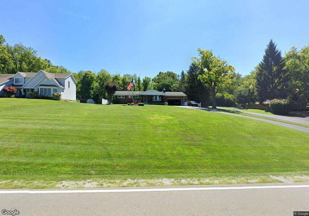
3457 Moorefield Rd Springfield, OH 45502
Estimated Value: $204,000 - $283,000
3
Beds
2
Baths
1,250
Sq Ft
$199/Sq Ft
Est. Value
About This Home
This home is located at 3457 Moorefield Rd, Springfield, OH 45502 and is currently estimated at $248,349, approximately $198 per square foot. 3457 Moorefield Rd is a home located in Clark County with nearby schools including Northridge Elementary School and Kenton Ridge Middle & High School.
Ownership History
Date
Name
Owned For
Owner Type
Purchase Details
Closed on
Dec 27, 2006
Sold by
Bowers Phillip David
Bought by
Bowers Phillip David and Bowers Sherry Diana
Current Estimated Value
Purchase Details
Closed on
Nov 8, 1991
Sold by
Dezern Stanley E and Evy Mae
Bought by
Green Arthur D
Purchase Details
Closed on
Aug 30, 1991
Create a Home Valuation Report for This Property
The Home Valuation Report is an in-depth analysis detailing your home's value as well as a comparison with similar homes in the area
Purchase History
| Date | Buyer | Sale Price | Title Company |
|---|---|---|---|
| Bowers Phillip David | -- | Attorney | |
| Green Arthur D | $85,000 | -- | |
| -- | $72,000 | -- |
Source: Public Records
Tax History
| Year | Tax Paid | Tax Assessment Tax Assessment Total Assessment is a certain percentage of the fair market value that is determined by local assessors to be the total taxable value of land and additions on the property. | Land | Improvement |
|---|---|---|---|---|
| 2025 | $2,857 | $76,170 | $15,260 | $60,910 |
| 2024 | $2,763 | $65,290 | $11,840 | $53,450 |
| 2023 | $2,763 | $65,290 | $11,840 | $53,450 |
| 2022 | $2,705 | $65,290 | $11,840 | $53,450 |
| 2021 | $2,705 | $53,960 | $9,700 | $44,260 |
| 2020 | $2,707 | $53,960 | $9,700 | $44,260 |
| 2019 | $2,759 | $53,960 | $9,700 | $44,260 |
| 2018 | $2,566 | $48,130 | $8,980 | $39,150 |
| 2017 | $2,199 | $48,136 | $8,985 | $39,151 |
| 2016 | $2,184 | $48,136 | $8,985 | $39,151 |
| 2015 | $2,116 | $44,906 | $8,985 | $35,921 |
| 2014 | $2,116 | $44,906 | $8,985 | $35,921 |
| 2013 | $2,002 | $43,506 | $8,985 | $34,521 |
Source: Public Records
Map
Nearby Homes
- 5060 Morris Rd
- 4293 Yale St
- 4500 Bosart Rd
- 5670 Prairie Rd
- 4273 Kay Ave
- 4028 Ryland Dr Unit 4028
- 1977 Willoughby Ave
- 4607 Plateau Dr S
- 4652 Reno Ln Unit 15
- 1836 Dunseth Ln
- 1709 Thomas Dr
- 4577 Reno Ln Unit 2
- 1812 Willow Lakes Dr
- 1921 Elaina Dr
- 5033 Ridgewood Rd E
- 1521 Erika Dr
- 4446 Ridgewood Rd E Unit 3
- 5564 Ridgewood Rd E Unit 7
- 1495 Victorian Way
- 1469 Victorian Way
- 3495 Moorefield Rd
- 3479 Moorefield Rd
- 3505 Moorefield Rd
- 5011 Morris Rd
- 3515 Moorefield Rd
- 3320 Moorefield Rd
- 3525 Moorefield Rd
- 3315 Moorefield Rd
- 5052 Morris Rd Unit 2
- 5114 Morris Rd
- 3535 Moorefield Rd
- 5060 Morris Rd Unit 1
- 3635 Moorefield Rd
- 5140 Morris Rd
- 5054 Morris Rd Unit 4
- 5054 Morris Rd
- 5056 Morris Rd Unit 3
- 5056 Morris Rd
- 4266 Moorefield Rd
- 3660 Moorefield Rd
Your Personal Tour Guide
Ask me questions while you tour the home.