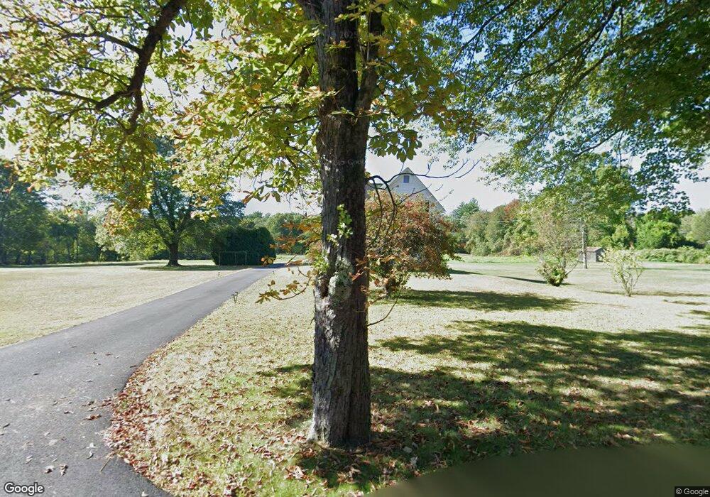
346 Burts Pit Rd Florence, MA 01062
Florence NeighborhoodEstimated Value: $484,000 - $540,000
4
Beds
2
Baths
2,247
Sq Ft
$224/Sq Ft
Est. Value
About This Home
This home is located at 346 Burts Pit Rd, Florence, MA 01062 and is currently estimated at $503,918, approximately $224 per square foot. 346 Burts Pit Rd is a home located in Hampshire County with nearby schools including Northampton High School, Hilltown Cooperative Charter Public School, and The Montessori School of Northampton.
Ownership History
Date
Name
Owned For
Owner Type
Purchase Details
Closed on
Dec 10, 2012
Sold by
Est Rau Donald W and Pomeroy Donna J
Bought by
Musante Michael
Current Estimated Value
Purchase Details
Closed on
Jul 20, 2011
Sold by
Musante Daniel J and Musante Timothy J
Bought by
Musante Timothy J and Musante Michael D
Purchase Details
Closed on
Oct 9, 2007
Sold by
Musante James R and Musante Mary C
Bought by
Musante Daniel J and Musante Michael D
Create a Home Valuation Report for This Property
The Home Valuation Report is an in-depth analysis detailing your home's value as well as a comparison with similar homes in the area
Home Values in the Area
Average Home Value in this Area
Purchase History
| Date | Buyer | Sale Price | Title Company |
|---|---|---|---|
| Musante Michael | $195,000 | -- | |
| Musante Timothy J | -- | -- | |
| Musante Daniel J | -- | -- |
Source: Public Records
Tax History
| Year | Tax Paid | Tax Assessment Tax Assessment Total Assessment is a certain percentage of the fair market value that is determined by local assessors to be the total taxable value of land and additions on the property. | Land | Improvement |
|---|---|---|---|---|
| 2025 | $5,756 | $413,200 | $145,600 | $267,600 |
| 2024 | $5,421 | $356,900 | $139,000 | $217,900 |
| 2023 | $120 | $362,900 | $126,100 | $236,800 |
| 2022 | $5,718 | $319,600 | $119,100 | $200,500 |
| 2021 | $132 | $303,400 | $114,100 | $189,300 |
| 2020 | $128 | $303,400 | $114,100 | $189,300 |
| 2019 | $132 | $298,500 | $117,800 | $180,700 |
| 2018 | $130 | $287,100 | $117,800 | $169,300 |
| 2017 | $127 | $287,100 | $117,800 | $169,300 |
| 2016 | $4,640 | $287,100 | $117,800 | $169,300 |
| 2015 | $5,023 | $317,900 | $138,800 | $179,100 |
| 2014 | $4,892 | $317,900 | $138,800 | $179,100 |
Source: Public Records
Map
Nearby Homes
- 635 Florence Rd
- 697 Florence Rd
- 72 Emerson Way
- 23 Ford Crossing
- 63 Riverside Dr
- 815 Burts Pit Rd
- 296 Old Wilson Rd
- 61 Harrison Ave
- 967 Florence Rd
- 37 Landy Ave
- 218 Elm St
- 42 Clark St
- 18 Cedar St
- 283 South St
- 61 Woodlawn Ave
- 296 Ryan Rd Unit A
- 296 Ryan Rd
- 296 Ryan Rd Unit B
- 76 Maple St
- 67 Park St Unit A
- 360 Burts Pit Rd
- 368 Burts Pit Rd
- 326 Burts Pit Rd
- 388 Burts Pit Rd
- 318 Burts Pit Rd
- 316 Burts Pit Rd
- 400 Burts Pit Rd
- 400 Burts Pit Rd
- 353 Burts Pit Rd
- 399 Burts Pit Rd
- 309 Burts Pit Rd
- 412 Burts Pit Rd
- 144 Clement St
- 331 Burts Pit Rd
- 137 Clement St
- 411 Burts Pit Rd
- 134 Clement St
- 289 Burts Pit Rd
- 432 Burts Pit Rd
- 120 Clement St
Your Personal Tour Guide
Ask me questions while you tour the home.