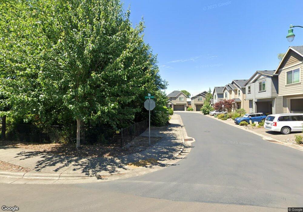
3462 Poplar Cir Forest Grove, OR 97116
Estimated Value: $427,000 - $492,000
3
Beds
3
Baths
1,756
Sq Ft
$254/Sq Ft
Est. Value
About This Home
This home is located at 3462 Poplar Cir, Forest Grove, OR 97116 and is currently estimated at $446,511, approximately $254 per square foot. 3462 Poplar Cir is a home located in Washington County with nearby schools including Joseph Gale Elementary School, Neil Armstrong Middle School, and Tom McCall Upper Elementary School.
Ownership History
Date
Name
Owned For
Owner Type
Purchase Details
Closed on
Jul 13, 2021
Sold by
Tietze Albert Diedrich
Bought by
Griffith Patrick B and Griffith Kathryn E
Current Estimated Value
Home Financials for this Owner
Home Financials are based on the most recent Mortgage that was taken out on this home.
Original Mortgage
$191,000
Outstanding Balance
$150,854
Interest Rate
2.9%
Mortgage Type
New Conventional
Estimated Equity
$295,657
Purchase Details
Closed on
Dec 31, 2015
Sold by
Creekwood Homes Inc
Bought by
Tietze Albert Diedrich
Home Financials for this Owner
Home Financials are based on the most recent Mortgage that was taken out on this home.
Original Mortgage
$188,725
Interest Rate
3.94%
Mortgage Type
New Conventional
Create a Home Valuation Report for This Property
The Home Valuation Report is an in-depth analysis detailing your home's value as well as a comparison with similar homes in the area
Home Values in the Area
Average Home Value in this Area
Purchase History
| Date | Buyer | Sale Price | Title Company |
|---|---|---|---|
| Griffith Patrick B | $381,000 | None Available | |
| Tietze Albert Diedrich | $267,900 | First American |
Source: Public Records
Mortgage History
| Date | Status | Borrower | Loan Amount |
|---|---|---|---|
| Open | Griffith Patrick B | $191,000 | |
| Previous Owner | Tietze Albert Diedrich | $188,725 |
Source: Public Records
Tax History Compared to Growth
Tax History
| Year | Tax Paid | Tax Assessment Tax Assessment Total Assessment is a certain percentage of the fair market value that is determined by local assessors to be the total taxable value of land and additions on the property. | Land | Improvement |
|---|---|---|---|---|
| 2026 | $4,501 | $252,750 | -- | -- |
| 2025 | $4,501 | $245,390 | -- | -- |
| 2024 | $4,342 | $238,250 | -- | -- |
| 2023 | $4,342 | $231,320 | $0 | $0 |
| 2022 | $3,797 | $231,320 | $0 | $0 |
| 2021 | $3,748 | $218,050 | $0 | $0 |
| 2020 | $3,727 | $211,700 | $0 | $0 |
| 2019 | $3,644 | $205,540 | $0 | $0 |
| 2018 | $3,533 | $199,560 | $0 | $0 |
| 2017 | $3,424 | $193,750 | $0 | $0 |
| 2016 | $3,327 | $188,110 | $0 | $0 |
| 2015 | $131 | $7,470 | $0 | $0 |
Source: Public Records
Map
Nearby Homes
- 3404 19th Ave Unit 103
- 3404 19th Ave Unit 215
- 1835 Tamarack Ct
- 3213 Maple Place
- 3128 Brittany Dr
- 2902 19th Ave
- 3831 Pacific Ave Unit D5
- 3831 Pacific Ave Unit D2
- 2824 19th Ave
- 2815 18th Ave
- 0 Kingwood St
- 2828 22nd Ave Unit 3
- 2828 22nd Ave Unit 5
- 2366 Kingwood St
- 3839 Pacific Ave Unit 102
- 2743 15th Place
- 1822 Hawthorne St
- 0 Crescent Dr
- 2358 Kingwood St
- 1506 Pioneer Cir
- 3456 Poplar Cir
- 3469 Poplar Ct
- 3463 Poplar Ct
- 3463 Poplar Ct
- 3457 Poplar Cir
- 3457 Poplar Ct
- 3451 Poplar Ct
- 3506 18th Place
- 1820 Poplar St
- 1745 Poplar St
- 3438 Poplar Ct
- 3439 Poplar Ct
- 3439 Poplar Ct
- 3445 Poplar Ct
- 1751 Poplar Place
- 3505 18th Place
- 1743 Poplar Place
- 1741 Poplar St
- 3518 18th Place
- 1832 Poplar St