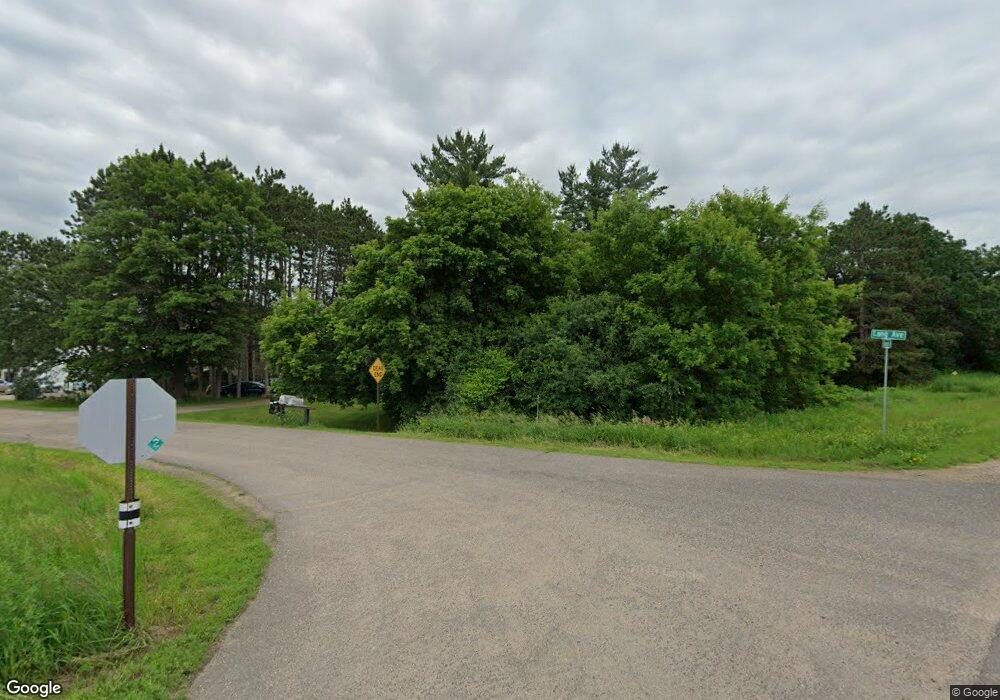
34623 Lang Ave North Branch, MN 55056
Estimated Value: $201,000 - $371,000
2
Beds
2
Baths
672
Sq Ft
$440/Sq Ft
Est. Value
About This Home
This home is located at 34623 Lang Ave, North Branch, MN 55056 and is currently estimated at $295,542, approximately $439 per square foot. 34623 Lang Ave is a home located in Chisago County with nearby schools including North Branch Middle School, Sunrise River Elementary School, and North Branch Senior High School.
Ownership History
Date
Name
Owned For
Owner Type
Purchase Details
Closed on
Sep 29, 2008
Sold by
Zeleny Stanley and Zeleny Betty
Bought by
Kangas Michael
Current Estimated Value
Home Financials for this Owner
Home Financials are based on the most recent Mortgage that was taken out on this home.
Original Mortgage
$162,352
Outstanding Balance
$109,604
Interest Rate
6.75%
Mortgage Type
FHA
Estimated Equity
$185,938
Purchase Details
Closed on
Jan 26, 2000
Sold by
Carlson F Willard and Carlson Jeanette L
Bought by
Four Diamond Bldrs Inc
Purchase Details
Closed on
Sep 30, 1999
Sold by
Emerson Craig S and Emerson Heather M
Bought by
Zeleny Stanley and Zeleny Betty
Create a Home Valuation Report for This Property
The Home Valuation Report is an in-depth analysis detailing your home's value as well as a comparison with similar homes in the area
Home Values in the Area
Average Home Value in this Area
Purchase History
| Date | Buyer | Sale Price | Title Company |
|---|---|---|---|
| Kangas Michael | $164,900 | -- | |
| Four Diamond Bldrs Inc | $45,000 | -- | |
| Zeleny Stanley | $94,000 | -- |
Source: Public Records
Mortgage History
| Date | Status | Borrower | Loan Amount |
|---|---|---|---|
| Open | Kangas Michael | $162,352 |
Source: Public Records
Tax History Compared to Growth
Tax History
| Year | Tax Paid | Tax Assessment Tax Assessment Total Assessment is a certain percentage of the fair market value that is determined by local assessors to be the total taxable value of land and additions on the property. | Land | Improvement |
|---|---|---|---|---|
| 2023 | $1,904 | $191,700 | $0 | $0 |
| 2022 | $1,832 | $201,400 | $0 | $0 |
| 2021 | $1,854 | $166,200 | $0 | $0 |
| 2020 | $1,698 | $172,600 | $70,000 | $102,600 |
| 2019 | $1,628 | $0 | $0 | $0 |
| 2018 | $1,580 | $0 | $0 | $0 |
| 2017 | $1,458 | $0 | $0 | $0 |
| 2016 | $1,350 | $0 | $0 | $0 |
| 2015 | $1,378 | $0 | $0 | $0 |
| 2014 | -- | $113,700 | $0 | $0 |
Source: Public Records
Map
Nearby Homes
- 34290 Lanesboro Ct
- LOT 1 Kable Ave
- LOT 2 Kable Ave
- 7884 341st St
- 35887 Oasis Rd
- 319XX-12 N Lakes Trail
- 31740 Madison Rd
- 31720 Madison Rd
- 31731 Mcguire Trail
- 31710 Madison Rd
- 7567 Lent Trail
- 13860 325th St
- 38621 July Ave
- 12605 314th St
- 6972 360th St
- 149xx 360th St
- 31101 Magnolia Ln
- 31075 Magnolia Ln
- 31079 Magnolia Ridge Way
- 31066 Magnolia Ridge Way
- 34641 Lang Ave
- 34657 Lang Ave
- 34574 Lincoln Rd
- 10645 Lanesboro Way
- 10631 Lanesboro Way
- 34761 Lang Ave
- Lot6 Blk4 Lanesboro Ct
- Lot 1 Blk 4 Lanesboro Ct
- Lot 1 Blk 2 Lanesboro Ct
- Lot 6 Lanesboro Way
- 10617 Lanesboro Way
- Lot 1 Lanesboro Way
- 10538 Lanesboro Way
- 10560 Lanesboro Way
- 34384 Lincoln Rd
- Lot 33 Lanesboro Way
- 10589 Lanesboro Way
- 12XXX 347th St
- 11142 347th St
- 10551 Lanesboro Way
