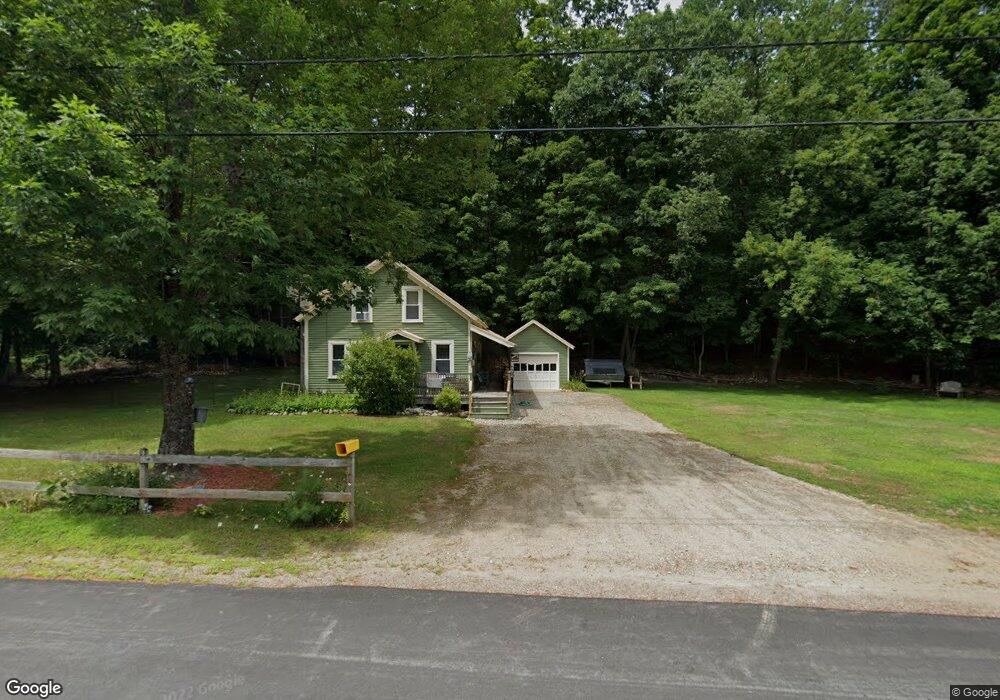
3463 Us Route 3 Thornton, NH 03285
Estimated Value: $310,000 - $444,000
2
Beds
1
Bath
1,557
Sq Ft
$241/Sq Ft
Est. Value
About This Home
This home is located at 3463 Us Route 3, Thornton, NH 03285 and is currently estimated at $374,707, approximately $240 per square foot. 3463 Us Route 3 is a home with nearby schools including Thornton Central School and Plymouth Regional High School.
Ownership History
Date
Name
Owned For
Owner Type
Purchase Details
Closed on
Sep 6, 2007
Sold by
Coba Thomas J
Bought by
Decarme William C and Decarme Kerby B
Current Estimated Value
Home Financials for this Owner
Home Financials are based on the most recent Mortgage that was taken out on this home.
Original Mortgage
$118,000
Outstanding Balance
$75,358
Interest Rate
6.74%
Mortgage Type
Purchase Money Mortgage
Estimated Equity
$299,349
Create a Home Valuation Report for This Property
The Home Valuation Report is an in-depth analysis detailing your home's value as well as a comparison with similar homes in the area
Home Values in the Area
Average Home Value in this Area
Purchase History
| Date | Buyer | Sale Price | Title Company |
|---|---|---|---|
| Decarme William C | $315,000 | -- |
Source: Public Records
Mortgage History
| Date | Status | Borrower | Loan Amount |
|---|---|---|---|
| Open | Decarme William C | $118,000 |
Source: Public Records
Tax History Compared to Growth
Tax History
| Year | Tax Paid | Tax Assessment Tax Assessment Total Assessment is a certain percentage of the fair market value that is determined by local assessors to be the total taxable value of land and additions on the property. | Land | Improvement |
|---|---|---|---|---|
| 2024 | $3,430 | $301,700 | $110,000 | $191,700 |
| 2023 | $3,556 | $171,300 | $62,800 | $108,500 |
| 2022 | $3,428 | $171,300 | $62,800 | $108,500 |
| 2021 | $3,724 | $179,300 | $70,800 | $108,500 |
| 2020 | $3,606 | $179,300 | $70,800 | $108,500 |
| 2019 | $3,349 | $179,300 | $70,800 | $108,500 |
| 2018 | $3,047 | $148,800 | $50,400 | $98,400 |
| 2017 | $2,908 | $148,800 | $50,400 | $98,400 |
| 2016 | $2,885 | $148,800 | $50,400 | $98,400 |
| 2015 | $2,842 | $148,800 | $50,400 | $98,400 |
| 2014 | $2,796 | $148,800 | $50,400 | $98,400 |
| 2013 | $2,696 | $147,000 | $41,000 | $106,000 |
Source: Public Records
Map
Nearby Homes
- 3447 US Route 3
- 3481 Us Route 3
- 15 Tennis Ln Unit B14
- 4 Jack O'Lantern Dr Unit 31
- 13 Champions Way
- 93 Waterthorn Rd
- 30 Tuxette Rd
- 2832 Nh Route 175
- 2832 New Hampshire Route 175
- 20 Condo Rd Unit 3
- 0 Avery- McGee Rd Unit 6
- 151 Millbrook Rd
- Lot 2 Covered Bridge Rd
- 3-42 Barron Rd
- 42 Melinas Way
- 6 Melinas Way
- 3 Melinas Way
- 43 Melina's Way
- 189 Covered Bridge Rd
- 53 Sunrise Hill Rd
- 3466 U S 3
- 3457 U S 3
- 3466 Us Route 3
- 3466 Us Route 3
- 3466 Us Route 3
- 3466 Us Route 3
- 3674 Daniel Webster Hwy
- 30 Mirror Lake Rd
- 12 Depot Rd
- 27 Mirror Lake Rd
- 21 Mirror Lake Rd
- 3481 U S 3
- 17 Mirror Lake Rd
- 17 Dobson Hill Rd
- 3478 Us Route 3
- 3478 Us Route 3
- 3435 Us Route 3
- 6 Conkey Ln
- 25 Dobson Hill Rd
- 6 Conkey Rd