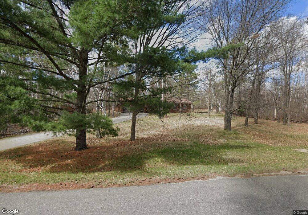
3465 Sherman Dr NE Bemidji, MN 56601
Estimated Value: $313,000 - $359,000
5
Beds
2
Baths
1,652
Sq Ft
$205/Sq Ft
Est. Value
About This Home
This home is located at 3465 Sherman Dr NE, Bemidji, MN 56601 and is currently estimated at $339,035, approximately $205 per square foot. 3465 Sherman Dr NE is a home with nearby schools including Lincoln Elementary School, Bemidji Middle School, and Bemidji Senior High School.
Ownership History
Date
Name
Owned For
Owner Type
Purchase Details
Closed on
Jan 26, 2007
Sold by
Yavarow Rosemary F and Nordahl Gwen P Yavarow
Bought by
Grifford Bian and Gifford Courtney
Current Estimated Value
Home Financials for this Owner
Home Financials are based on the most recent Mortgage that was taken out on this home.
Original Mortgage
$169,900
Outstanding Balance
$101,932
Interest Rate
6.19%
Mortgage Type
New Conventional
Estimated Equity
$237,103
Create a Home Valuation Report for This Property
The Home Valuation Report is an in-depth analysis detailing your home's value as well as a comparison with similar homes in the area
Home Values in the Area
Average Home Value in this Area
Purchase History
| Date | Buyer | Sale Price | Title Company |
|---|---|---|---|
| Grifford Bian | $169,900 | First American Title Ins Co |
Source: Public Records
Mortgage History
| Date | Status | Borrower | Loan Amount |
|---|---|---|---|
| Open | Grifford Bian | $169,900 |
Source: Public Records
Tax History Compared to Growth
Tax History
| Year | Tax Paid | Tax Assessment Tax Assessment Total Assessment is a certain percentage of the fair market value that is determined by local assessors to be the total taxable value of land and additions on the property. | Land | Improvement |
|---|---|---|---|---|
| 2024 | $3,746 | $290,800 | $46,100 | $244,700 |
| 2023 | $3,746 | $290,800 | $46,100 | $244,700 |
| 2022 | $3,307 | $264,900 | $46,100 | $218,800 |
| 2021 | $3,118 | $205,300 | $35,600 | $169,700 |
| 2019 | $2,782 | $205,300 | $35,600 | $169,700 |
| 2018 | $2,786 | $181,900 | $35,600 | $146,300 |
| 2016 | $2,466 | $167,800 | $35,600 | $132,200 |
| 2015 | $2,126 | $163,400 | $0 | $0 |
| 2014 | $2,034 | $160,700 | $0 | $0 |
| 2011 | $2,090 | $163,500 | $0 | $0 |
Source: Public Records
Map
Nearby Homes
- 3545 White Birch Ave NE
- L1B3 Sherman Dr NE
- 4227 Waville Rd NE
- TBD Lake Ave NE
- 4523 Waville Rd NE
- 2120 Grotte Ave NE
- TBD Power Dam Rd NE
- 1925 Chippewa Dr NE
- 2955 Saint Onge Dr NE
- 1510 Grotte Ave NE
- 4410 Big Bass Rd NE
- 5503 Mallard Ln NE
- 5502 Mallard Ln NE
- 1201 Tyler Ave NE
- 1201 Tyler Ave NE
- 1201 Tyler Ave NE
- 1201 Tyler Ave NE
- 1201 Tyler Ave NE
- 1201 Tyler Ave NE
- 1201 Tyler Ave NE
- TBD Sherman Dr Elliot Rd NE
- 3531 Elliot Rd NE
- 3604 Waville Rd NE
- 3620 Waville Rd NE
- 3420 Lake Ave NE
- 3500 Sherman Dr NE
- 3632 Waville Rd NE
- 3635 Sherman Dr NE
- 3640 Elliot Rd NE
- 3640 Sherman Dr NE
- 3621 Elliot Rd NE
- 3619 Waville Rd NE
- 3607 Waville Rd NE
- 3605 Waville Rd NE
- 3623 Waville Rd NE
- 3685 Sherman Dr NE
- 3670 Sherman Dr NE
- 3718 Waville Rd NE
- 3707 Waville Rd NE
- 3601 Waville Rd NE