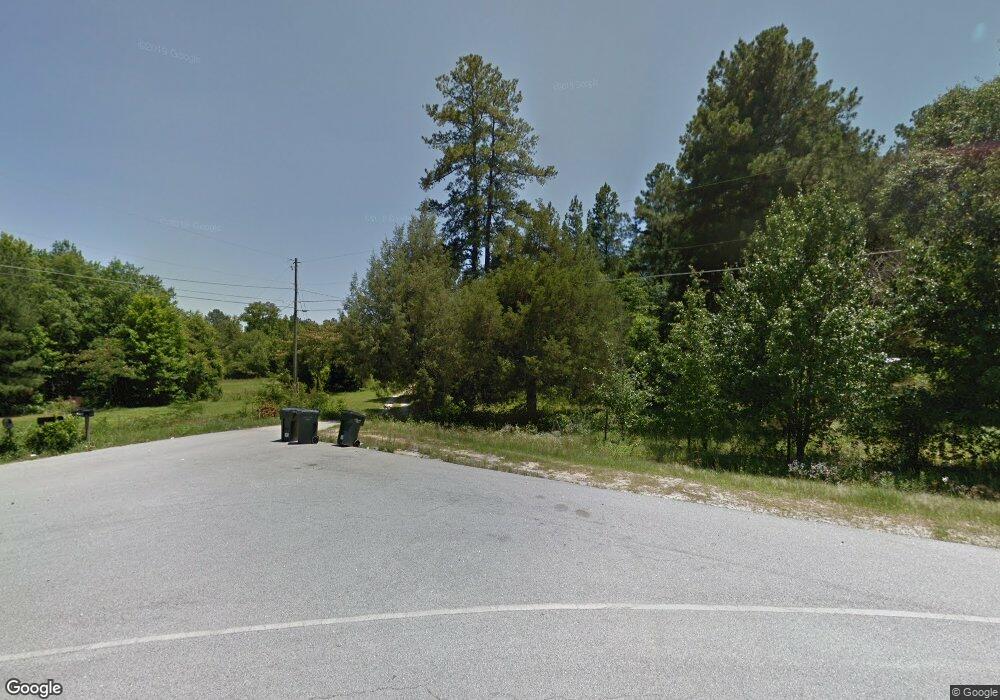
3466 Lewis Rd Augusta, GA 30909
Belair NeighborhoodEstimated Value: $156,514 - $378,000
--
Bed
--
Bath
1,782
Sq Ft
$148/Sq Ft
Est. Value
About This Home
This home is located at 3466 Lewis Rd, Augusta, GA 30909 and is currently estimated at $263,879, approximately $148 per square foot. 3466 Lewis Rd is a home located in Richmond County with nearby schools including Belair K-8 School, Johnson Magnet, and Greater Augusta Christian Academy.
Ownership History
Date
Name
Owned For
Owner Type
Purchase Details
Closed on
Dec 15, 2010
Sold by
Belanger Brenda
Bought by
Odom James C
Current Estimated Value
Purchase Details
Closed on
Dec 21, 2001
Sold by
Beattie Franklin D and Crosby Charles O
Bought by
Horner Randy and Smith Angela C
Purchase Details
Closed on
Dec 14, 2001
Sold by
Horner Randy
Bought by
Crosby Charles O and Smith Angela C
Purchase Details
Closed on
Mar 8, 1994
Sold by
Odom William D and Life Est
Bought by
Odom William Mrs Odom Adabelle
Purchase Details
Closed on
Mar 4, 1994
Sold by
Odom Adabelle Lest
Bought by
Odom James C Lest
Create a Home Valuation Report for This Property
The Home Valuation Report is an in-depth analysis detailing your home's value as well as a comparison with similar homes in the area
Home Values in the Area
Average Home Value in this Area
Purchase History
| Date | Buyer | Sale Price | Title Company |
|---|---|---|---|
| Odom James C | -- | -- | |
| Horner Randy | -- | -- | |
| Crosby Charles O | $15,200 | -- | |
| Odom William Mrs Odom Adabelle | -- | -- | |
| Odom James C Lest | -- | -- |
Source: Public Records
Tax History Compared to Growth
Tax History
| Year | Tax Paid | Tax Assessment Tax Assessment Total Assessment is a certain percentage of the fair market value that is determined by local assessors to be the total taxable value of land and additions on the property. | Land | Improvement |
|---|---|---|---|---|
| 2024 | $560 | $21,555 | $4,397 | $17,158 |
| 2023 | $321 | $21,175 | $4,397 | $16,778 |
| 2022 | $479 | $21,308 | $4,397 | $16,911 |
| 2021 | $536 | $18,495 | $3,382 | $15,113 |
| 2020 | $468 | $18,421 | $3,382 | $15,039 |
| 2019 | $358 | $17,426 | $3,382 | $14,044 |
| 2018 | $162 | $17,765 | $3,382 | $14,383 |
| 2017 | $160 | $17,589 | $3,382 | $14,207 |
| 2016 | $157 | $17,367 | $3,382 | $13,984 |
| 2015 | $460 | $16,753 | $3,382 | $13,370 |
| 2014 | $441 | $15,246 | $3,382 | $11,864 |
Source: Public Records
Map
Nearby Homes
- 620 Lampart Dr
- 624 Lampart Dr
- 604 Lampart Dr
- 5301 Copse Dr
- 9065 Brevard Rd
- 1257 Elbron Dr
- 1277 Elbron Dr
- 1261 Elbron Dr
- 8025 Crawley St
- 1281 Elbron Dr
- 1293 Elbron Dr
- 7050 Summerton Dr
- 5435 Copse Dr
- Ridgemont 14 EL Plan at Haynes Station
- Kingston 17 EL Plan at Haynes Station
- Thornhill Plan at Haynes Station
- Greyson 4 EL Plan at Haynes Station
- Stapleton Manor 11 Plan at Haynes Station
- Thornhill 6 Plan at Haynes Station
- Wynstone 5 EL Plan at Haynes Station
