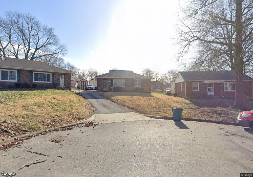
3466 Lindscott Ave Saint Louis, MO 63114
Estimated Value: $126,971 - $194,000
3
Beds
1
Bath
1,080
Sq Ft
$144/Sq Ft
Est. Value
About This Home
This home is located at 3466 Lindscott Ave, Saint Louis, MO 63114 and is currently estimated at $155,493, approximately $143 per square foot. 3466 Lindscott Ave is a home located in St. Louis County with nearby schools including Marvin Elementary School, Ritenour Middle School, and Ritenour Senior High School.
Ownership History
Date
Name
Owned For
Owner Type
Purchase Details
Closed on
Oct 22, 2009
Sold by
Gisi Robert E and Gisi Cathy A
Bought by
Taylor Brandon
Current Estimated Value
Home Financials for this Owner
Home Financials are based on the most recent Mortgage that was taken out on this home.
Original Mortgage
$85,914
Outstanding Balance
$55,957
Interest Rate
5.03%
Mortgage Type
FHA
Estimated Equity
$99,536
Purchase Details
Closed on
Dec 20, 2007
Sold by
Gisi Robert E and Gisi Cathy
Bought by
Gisi Robert E and Gisi Cathy A
Create a Home Valuation Report for This Property
The Home Valuation Report is an in-depth analysis detailing your home's value as well as a comparison with similar homes in the area
Home Values in the Area
Average Home Value in this Area
Purchase History
| Date | Buyer | Sale Price | Title Company |
|---|---|---|---|
| Taylor Brandon | $87,500 | First American Title Ins Co | |
| Gisi Robert E | -- | None Available |
Source: Public Records
Mortgage History
| Date | Status | Borrower | Loan Amount |
|---|---|---|---|
| Open | Taylor Brandon | $85,914 |
Source: Public Records
Tax History Compared to Growth
Tax History
| Year | Tax Paid | Tax Assessment Tax Assessment Total Assessment is a certain percentage of the fair market value that is determined by local assessors to be the total taxable value of land and additions on the property. | Land | Improvement |
|---|---|---|---|---|
| 2025 | $1,577 | $22,760 | $5,700 | $17,060 |
| 2024 | $1,577 | $18,160 | $3,040 | $15,120 |
| 2023 | $1,546 | $18,160 | $3,040 | $15,120 |
| 2022 | $1,627 | $16,760 | $2,660 | $14,100 |
| 2021 | $1,626 | $16,760 | $2,660 | $14,100 |
| 2020 | $1,512 | $14,310 | $4,370 | $9,940 |
| 2019 | $1,495 | $14,310 | $4,370 | $9,940 |
| 2018 | $1,503 | $12,960 | $1,900 | $11,060 |
| 2017 | $1,435 | $12,960 | $1,900 | $11,060 |
| 2016 | $1,357 | $12,310 | $2,660 | $9,650 |
| 2015 | $1,387 | $12,310 | $2,660 | $9,650 |
| 2014 | $1,361 | $12,270 | $890 | $11,380 |
Source: Public Records
Map
Nearby Homes
- 3562 Boswell Ave
- 3563 Boswell Ave
- 13 Jonell Ct
- 9060 Patrick Dr
- 3220 Marvin Ave
- 8718 Mavis Place
- 8728 Susan Ave
- 9015 Mcnulty Dr
- 3534 Calvert Ave
- 8687 Belhaven Dr
- 8804 Tudor Ave
- 3329 Dix Ave
- 9047 Kathlyn Dr
- 3316 Edmundson Rd
- 8920 Burton Ave
- 9432 Tudor Ave
- 2812 Woodson Rd
- 3355 Edmundson Rd
- 9436 North Ave
- 9429 Burdella Ave
- 3468 Lindscott Ave
- 3460 Lindscott Ave
- 3461 Charlack Ave
- 3465 Charlack Ave
- 3470 Lindscott Ave
- 3456 Lindscott Ave
- 3457 Charlack Ave
- 3469 Charlack Ave
- 3453 Charlack Ave
- 3452 Lindscott Ave
- 3472 Lindscott Ave
- 9006 Saint Louis Ave
- 9010 St Louis
- 9010 Saint Louis Ave
- 3451 Charlack Ave
- 9012 Saint Louis Ave
- 3455 Lindscott Ave
- 3475 Charlack Ave
- 3448 Lindscott Ave
- 9055 Janet Ct