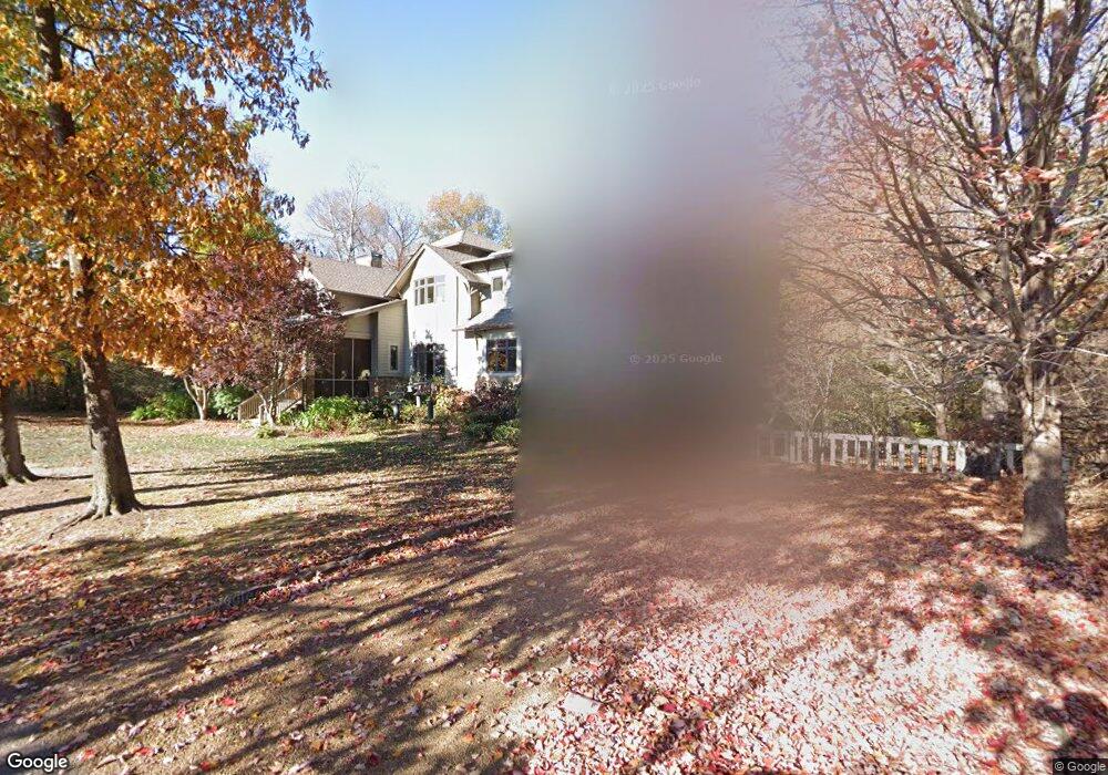
3467 E Brow Rd Signal Mountain, TN 37377
Walden NeighborhoodEstimated Value: $1,196,000 - $1,920,436
--
Bed
--
Bath
5,744
Sq Ft
$271/Sq Ft
Est. Value
About This Home
This home is located at 3467 E Brow Rd, Signal Mountain, TN 37377 and is currently estimated at $1,556,609, approximately $270 per square foot. 3467 E Brow Rd is a home located in Hamilton County with nearby schools including Nolan Elementary School, Signal Mountain Middle/High School, and Signal Mountain Christian School.
Ownership History
Date
Name
Owned For
Owner Type
Purchase Details
Closed on
Aug 27, 2018
Sold by
Oscar George R and Bean Marilyn L
Bought by
Oscar George Robinson and Bean Marilyn Louise
Current Estimated Value
Purchase Details
Closed on
Oct 21, 2004
Sold by
Trohanis William and Trohanis Jean
Bought by
Oscar George R and Bean Marilyn L
Home Financials for this Owner
Home Financials are based on the most recent Mortgage that was taken out on this home.
Original Mortgage
$151,000
Interest Rate
5.73%
Mortgage Type
Fannie Mae Freddie Mac
Purchase Details
Closed on
Dec 18, 1996
Sold by
Tulao Marino and Tulao Emma
Bought by
Trohanis William and Trohanis Jean
Create a Home Valuation Report for This Property
The Home Valuation Report is an in-depth analysis detailing your home's value as well as a comparison with similar homes in the area
Home Values in the Area
Average Home Value in this Area
Purchase History
| Date | Buyer | Sale Price | Title Company |
|---|---|---|---|
| Oscar George Robinson | -- | None Available | |
| Oscar George R | $299,000 | None Available | |
| Trohanis William | $128,000 | -- |
Source: Public Records
Mortgage History
| Date | Status | Borrower | Loan Amount |
|---|---|---|---|
| Closed | Oscar George R | $151,000 |
Source: Public Records
Tax History Compared to Growth
Tax History
| Year | Tax Paid | Tax Assessment Tax Assessment Total Assessment is a certain percentage of the fair market value that is determined by local assessors to be the total taxable value of land and additions on the property. | Land | Improvement |
|---|---|---|---|---|
| 2024 | $6,452 | $288,375 | $0 | $0 |
| 2023 | $7,985 | $288,375 | $0 | $0 |
| 2022 | $7,985 | $288,375 | $0 | $0 |
| 2021 | $7,985 | $288,375 | $0 | $0 |
| 2020 | $9,335 | $276,950 | $0 | $0 |
| 2019 | $9,058 | $276,950 | $0 | $0 |
| 2018 | $8,781 | $276,950 | $0 | $0 |
| 2017 | $8,725 | $276,950 | $0 | $0 |
| 2016 | $7,895 | $0 | $0 | $0 |
| 2015 | $7,895 | $247,175 | $0 | $0 |
| 2014 | $7,895 | $0 | $0 | $0 |
Source: Public Records
Map
Nearby Homes
- 3680 Wilson Ave
- 3002 Wilson Ave
- 2804 Taft Hwy
- 914 Olsen Ave
- 5517 Abby Grace Loop
- 810 Younger Cir
- 0 Browntown Rd Unit 1519397
- 5423 Mccahill Rd
- 60166014 Browntown Rd
- 3612 Taft Hwy
- 311 Shady Crest Dr
- 217 Lynnolen Ln
- 4975 Browntown Rd
- 848 Skyline Park Dr
- 1702 James Blvd
- 0 Skyline Park Dr Unit 1525124
- 6015 Sawyer Rd
- 837 Skyline Park Dr
- 2598 Bristlecone Ln
- 14 Lynnolen Ln
- 3503 E Brow Rd
- 3403 E Brow Rd
- 211 Lake Ave
- 3509 E Brow Rd
- 215 Lake Ave
- 3908 Ivory Ave
- 3906 Ivory Ave
- 3511 E Brow Rd
- 219 Lake Ave
- 3920 Ivory Ave
- 4006 Ivory Ave
- 4008 Ivory Ave
- 3609 E Brow Rd
- 3915 Ivory Ave
- 4012 Ivory Ave
- 3905 Ivory Ave
- 3905 Ivory Ave Unit 8
- 3909 Ivory Ave
- 303 Lake Ave
- 303 Lake Ave Unit 7