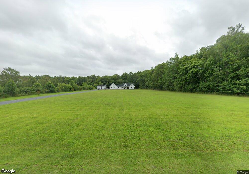
34684 Wilgus Cemetery Rd Frankford, DE 19945
Estimated Value: $576,000 - $695,000
--
Bed
--
Bath
2,040
Sq Ft
$308/Sq Ft
Est. Value
About This Home
This home is located at 34684 Wilgus Cemetery Rd, Frankford, DE 19945 and is currently estimated at $628,667, approximately $308 per square foot. 34684 Wilgus Cemetery Rd is a home with nearby schools including Phillip C. Showell Elementary School, Selbyville Middle School, and Indian River High School.
Ownership History
Date
Name
Owned For
Owner Type
Purchase Details
Closed on
Feb 7, 2020
Sold by
Hudson Douglas M and Hudson Dawn P
Bought by
Hull Daniel P and Adkins Erica B
Current Estimated Value
Home Financials for this Owner
Home Financials are based on the most recent Mortgage that was taken out on this home.
Original Mortgage
$79,961
Interest Rate
3.6%
Mortgage Type
New Conventional
Create a Home Valuation Report for This Property
The Home Valuation Report is an in-depth analysis detailing your home's value as well as a comparison with similar homes in the area
Home Values in the Area
Average Home Value in this Area
Purchase History
| Date | Buyer | Sale Price | Title Company |
|---|---|---|---|
| Hull Daniel P | $160,000 | None Available |
Source: Public Records
Mortgage History
| Date | Status | Borrower | Loan Amount |
|---|---|---|---|
| Closed | Hull Daniel P | $79,961 |
Source: Public Records
Tax History Compared to Growth
Tax History
| Year | Tax Paid | Tax Assessment Tax Assessment Total Assessment is a certain percentage of the fair market value that is determined by local assessors to be the total taxable value of land and additions on the property. | Land | Improvement |
|---|---|---|---|---|
| 2025 | $1,210 | $2,100 | $2,100 | $0 |
| 2024 | $1,101 | $2,100 | $2,100 | $0 |
| 2023 | $1,076 | $2,100 | $2,100 | $0 |
| 2022 | $93 | $2,100 | $2,100 | $0 |
| 2021 | $91 | $2,100 | $2,100 | $0 |
| 2020 | $87 | $2,100 | $2,100 | $0 |
| 2019 | $87 | $2,100 | $2,100 | $0 |
| 2018 | $111 | $2,100 | $0 | $0 |
| 2017 | $80 | $2,100 | $0 | $0 |
| 2016 | $103 | $2,100 | $0 | $0 |
| 2015 | $105 | $2,100 | $0 | $0 |
| 2014 | $106 | $2,100 | $0 | $0 |
Source: Public Records
Map
Nearby Homes
- The Chesapeake Plan at Brookland Farm
- The Robbins Plan at Brookland Farm
- The Townsend Plan at Brookland Farm
- The Demeri Plan at Brookland Farm
- The Walker (SF) Plan at Brookland Farm
- The Sea Isle Plan at Brookland Farm
- 36542 Laws Ct
- 36548 Laws Ct
- 36552 Laws Ct
- 36588 Laws Ct
- 36584 Laws Ct
- 23593 Robalo Rd
- 36083 Blackfin Dr
- 28944 Whaler Ln
- 28941 Whaler Ln
- 23549 Robalo Rd
- 23546 Robalo Rd
- 35481 Roselyn Ct
- 33183 Lost Creek Dr
- 24176 Heartleaf Rd
- 34708 Wilgus Cemetery Rd
- Lot --- Wilgus Cemetery Rd
- --- Wilgus Cemetary Rd
- 34697 Wilgus Cemetery Rd
- 34731 Wilgus Cemetery Rd
- 34667 Wilgus Cemetery Rd
- Parcel 115 Wilgus Cemetary Rd
- 34643 Wilgus Cemetery Rd
- 34627 Wilgus Cemetery Rd
- 34771 Wilgus Cemetery Rd
- 34615 Wilgus Cemetery Rd
- 34799 Wilgus Cemetery Rd
- 33363 Hall Way
- 36144 Bayard Rd
- 55 Bayard Rd
- Lot 1 Old Mill Bridge Rd
- 36001 Bayard Rd
- 36023 Bayard Rd
- 36007 Old Mill Bridge Rd
- 36079 Bayard Rd