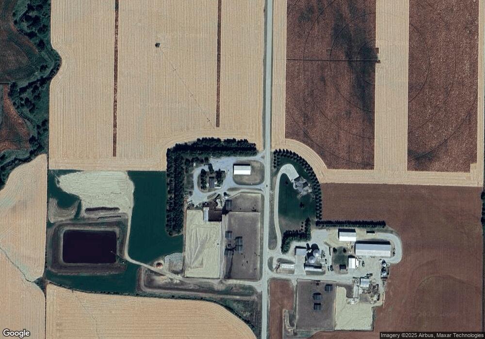
347 22nd Rd West Point, NE 68788
Estimated Value: $356,000 - $634,077
Studio
1
Bath
1,381
Sq Ft
$358/Sq Ft
Est. Value
About This Home
This home is located at 347 22nd Rd, West Point, NE 68788 and is currently estimated at $495,039, approximately $358 per square foot. 347 22nd Rd is a home located in Cuming County with nearby schools including West Point-Beemer Junior/Senior High School.
Create a Home Valuation Report for This Property
The Home Valuation Report is an in-depth analysis detailing your home's value as well as a comparison with similar homes in the area
Tax History
| Year | Tax Paid | Tax Assessment Tax Assessment Total Assessment is a certain percentage of the fair market value that is determined by local assessors to be the total taxable value of land and additions on the property. | Land | Improvement |
|---|---|---|---|---|
| 2025 | $4,692 | $772,995 | $660,445 | $112,550 |
| 2024 | $4,635 | $668,645 | $572,065 | $96,580 |
| 2023 | $5,926 | $611,465 | $517,715 | $93,750 |
| 2022 | $5,523 | $561,530 | $485,925 | $75,605 |
| 2021 | $5,512 | $553,910 | $482,470 | $71,440 |
| 2020 | $5,700 | $580,465 | $519,690 | $60,775 |
| 2019 | $5,781 | $576,880 | $519,650 | $57,230 |
| 2018 | $5,921 | $596,740 | $539,510 | $57,230 |
| 2017 | $5,680 | $555,105 | $496,830 | $58,275 |
| 2016 | $5,615 | $519,345 | $465,730 | $53,615 |
| 2015 | $5,629 | $480,525 | $426,910 | $53,615 |
| 2014 | $4,004 | $410,315 | $359,810 | $50,505 |
| 2013 | $4,004 | $284,470 | $232,175 | $52,295 |
Source: Public Records
Map
Nearby Homes
Your Personal Tour Guide
Ask me questions while you tour the home.