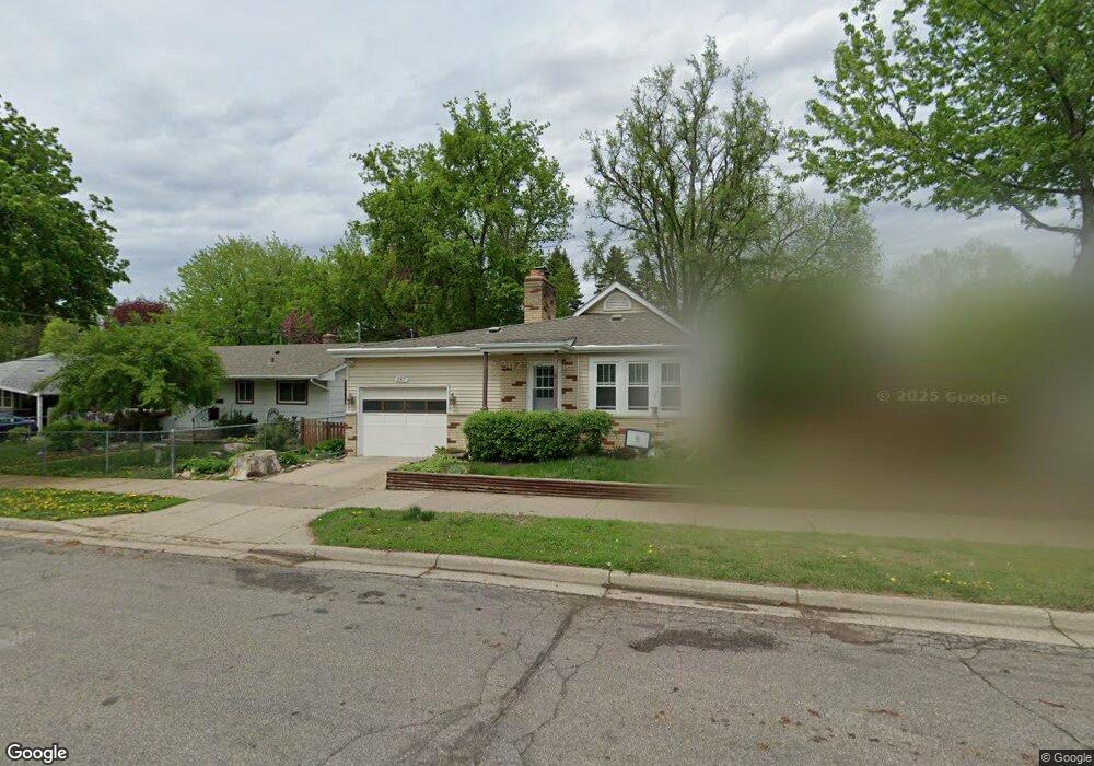
347 347 Bernard St E West St. Paul, MN 55118
Estimated Value: $277,000 - $289,752
2
Beds
1
Bath
1,109
Sq Ft
$256/Sq Ft
Est. Value
About This Home
This home is located at 347 347 Bernard St E, West St. Paul, MN 55118 and is currently estimated at $283,688, approximately $255 per square foot. 347 347 Bernard St E is a home located in Dakota County with nearby schools including Moreland Arts & Health Sciences Magnet School, Heritage E-STEM Magnet School, and Two Rivers High School.
Ownership History
Date
Name
Owned For
Owner Type
Purchase Details
Closed on
Oct 28, 2009
Sold by
Tritle Laura K
Bought by
Miglio Kami
Current Estimated Value
Purchase Details
Closed on
Nov 7, 2003
Sold by
Estate Of Marvin J Clemens
Bought by
Tritle Laura K
Create a Home Valuation Report for This Property
The Home Valuation Report is an in-depth analysis detailing your home's value as well as a comparison with similar homes in the area
Home Values in the Area
Average Home Value in this Area
Purchase History
| Date | Buyer | Sale Price | Title Company |
|---|---|---|---|
| Miglio Kami | $140,000 | -- | |
| Tritle Laura K | $126,880 | -- |
Source: Public Records
Tax History Compared to Growth
Tax History
| Year | Tax Paid | Tax Assessment Tax Assessment Total Assessment is a certain percentage of the fair market value that is determined by local assessors to be the total taxable value of land and additions on the property. | Land | Improvement |
|---|---|---|---|---|
| 2024 | $3,222 | $268,200 | $53,500 | $214,700 |
| 2023 | $3,222 | $271,000 | $56,700 | $214,300 |
| 2022 | $2,694 | $258,300 | $56,500 | $201,800 |
| 2021 | $2,250 | $219,800 | $49,100 | $170,700 |
| 2020 | $2,168 | $187,200 | $46,800 | $140,400 |
| 2019 | $2,007 | $176,900 | $44,600 | $132,300 |
| 2018 | $1,793 | $159,300 | $41,700 | $117,600 |
| 2017 | $1,624 | $150,500 | $39,700 | $110,800 |
| 2016 | $1,559 | $134,400 | $36,100 | $98,300 |
| 2015 | $1,382 | $104,678 | $28,461 | $76,217 |
| 2014 | -- | $89,309 | $25,231 | $64,078 |
| 2013 | -- | $81,570 | $22,675 | $58,895 |
Source: Public Records
Map
Nearby Homes
- 297 Hurley St E
- 235 Mainzer St
- 254 Arion St E
- 273 Butler Ave E
- 377 Winona St E
- 1107 Oakdale Ave
- 1616 Stickney Ave
- 369 Belvidere St E Unit 369B
- 180 Wyoming St E
- 1560 Stickney Ave
- 1425 Evans Ave
- 1421 Evans Ave
- 751 Woodbury St
- 255 Curtice St E
- 492 Curtice St E
- 1436 Stickney Ave
- 344 Page St E
- 203 Moreland Ave E
- 230 Stanley Ave
- 1251 Macarthur Ave
- 347 347 Bernard-Street-e
- 347 Bernard St E
- 348 Bernard St E
- 337 Bernard St E
- 334 Bernard St E
- 353 Bernard St E
- 985 Sperl St
- 985 Sperl St
- 985 985 Sperl St
- 330 Bernard St E
- 1004 Sperl St
- 329 Bernard St E
- 357 357 Bernard St E
- 357 357 Bernard-Street-e
- 1015 Sperl St
- 325 325 Bernard St E
- 1014 1014 Sperl-Street-
- 357 Bernard St E
- 1010 Sperl St
- 322 322 Bernard St E