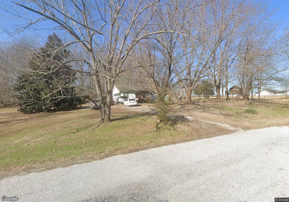
347 Akins Heights Ln Westmoreland, TN 37186
Estimated Value: $162,332 - $224,000
--
Bed
1
Bath
1,096
Sq Ft
$188/Sq Ft
Est. Value
About This Home
This home is located at 347 Akins Heights Ln, Westmoreland, TN 37186 and is currently estimated at $205,833, approximately $187 per square foot. 347 Akins Heights Ln is a home located in Macon County.
Ownership History
Date
Name
Owned For
Owner Type
Purchase Details
Closed on
Jul 6, 1998
Sold by
White Tracy D
Bought by
Frye Michael and Frye Rachel
Current Estimated Value
Purchase Details
Closed on
Feb 23, 1991
Bought by
White Tracy D and White Terrie L
Purchase Details
Closed on
Aug 10, 1987
Bought by
Simons Randall and Simons Geraldine
Purchase Details
Closed on
Aug 26, 1980
Bought by
Akin Wm Randolph and Akin Earl
Create a Home Valuation Report for This Property
The Home Valuation Report is an in-depth analysis detailing your home's value as well as a comparison with similar homes in the area
Home Values in the Area
Average Home Value in this Area
Purchase History
| Date | Buyer | Sale Price | Title Company |
|---|---|---|---|
| Frye Michael | $43,000 | -- | |
| White Tracy D | $33,500 | -- | |
| Simons Randall | -- | -- | |
| Akin Wm Randolph | -- | -- |
Source: Public Records
Mortgage History
| Date | Status | Borrower | Loan Amount |
|---|---|---|---|
| Open | Akin Wm Randolph | $21,500 | |
| Closed | Akin Wm Randolph | $21,500 |
Source: Public Records
Tax History Compared to Growth
Tax History
| Year | Tax Paid | Tax Assessment Tax Assessment Total Assessment is a certain percentage of the fair market value that is determined by local assessors to be the total taxable value of land and additions on the property. | Land | Improvement |
|---|---|---|---|---|
| 2024 | $403 | $28,525 | $4,975 | $23,550 |
| 2023 | $403 | $28,525 | $0 | $0 |
| 2022 | $366 | $15,250 | $2,400 | $12,850 |
| 2021 | $366 | $15,250 | $2,400 | $12,850 |
| 2020 | $366 | $15,250 | $2,400 | $12,850 |
| 2019 | $366 | $15,250 | $2,400 | $12,850 |
| 2018 | $337 | $15,250 | $2,400 | $12,850 |
| 2017 | $298 | $11,825 | $2,775 | $9,050 |
| 2016 | $284 | $11,825 | $2,775 | $9,050 |
| 2015 | $284 | $11,825 | $2,775 | $9,050 |
| 2014 | $284 | $11,827 | $0 | $0 |
Source: Public Records
Map
Nearby Homes
- 295 Akins Heights Ln
- 234 Haven Way
- 6221 Austin Peay Hwy
- 11076 Highway 52 W
- 10029 Old Highway 52
- 670 Howell Rd
- 401 Robins Trail
- 401 Robin's Trail
- 458 Robins Trail
- 219 Wagoners Way
- 0 Trammel Creek Rd
- 4169 Bledsoe St
- 2131 Lambert Dr
- 1112 New Highway 52 E
- 5270 New Highway 31e
- 1131 New Hwy 52
- 1123 New Hwy 52
- 393 Leaths Branch Rd
- 397 Lauren Ln
- 2507 Epperson Springs Rd
- 348 Akins Heights Ln
- 273 Akins Heights Ln
- 372 Siloam Church Rd
- 276 Akins Heights Ln
- 348 Siloam Church Rd
- 324 Siloam Church Rd
- 2059 W Stinson Rd
- 249 Akins Heights Ln
- 2023 W Stinson Rd
- 276 Siloam Church Rd
- 258 Akins Heights Ln
- 396 Siloam Church Rd
- 225 Akins Heights Ln
- 206 Akins Heights Ln
- 291 Siloam Church Rd
- 2060 W Stinson Rd
- 369 Siloam Church Rd
- 251 Siloam Church Rd
- 423 Siloam Church Rd
- 177 Akins Heights Ln