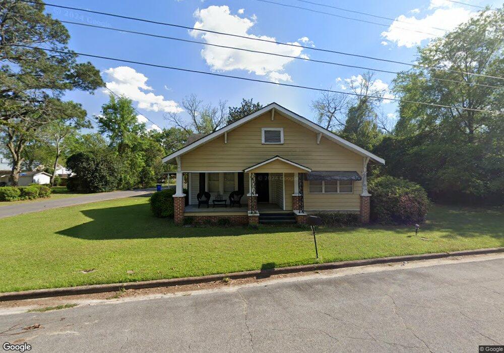
347 Burum St SW Pelham, GA 31779
Estimated Value: $79,000 - $163,000
2
Beds
2
Baths
1,960
Sq Ft
$56/Sq Ft
Est. Value
About This Home
This home is located at 347 Burum St SW, Pelham, GA 31779 and is currently estimated at $108,982, approximately $55 per square foot. 347 Burum St SW is a home located in Mitchell County with nearby schools including Pelham Elementary School, Pelham City Middle School, and Pelham High School.
Ownership History
Date
Name
Owned For
Owner Type
Purchase Details
Closed on
May 15, 2025
Sold by
Hawley Brooke B
Bought by
High Cotton Rentals Inc
Current Estimated Value
Purchase Details
Closed on
Feb 8, 2010
Sold by
Mcgalliard Brandi
Bought by
Hawley Brooke B
Purchase Details
Closed on
Dec 14, 2005
Sold by
Palmer Lee G
Bought by
Fender Lisa C and Fender Calvin
Create a Home Valuation Report for This Property
The Home Valuation Report is an in-depth analysis detailing your home's value as well as a comparison with similar homes in the area
Home Values in the Area
Average Home Value in this Area
Purchase History
| Date | Buyer | Sale Price | Title Company |
|---|---|---|---|
| High Cotton Rentals Inc | $80,000 | -- | |
| Hawley Brooke B | -- | -- | |
| Hawley Brooke B | $47,000 | -- | |
| Fender Lisa C | $38,500 | -- |
Source: Public Records
Mortgage History
| Date | Status | Borrower | Loan Amount |
|---|---|---|---|
| Closed | Fender Lisa C | $0 |
Source: Public Records
Tax History Compared to Growth
Tax History
| Year | Tax Paid | Tax Assessment Tax Assessment Total Assessment is a certain percentage of the fair market value that is determined by local assessors to be the total taxable value of land and additions on the property. | Land | Improvement |
|---|---|---|---|---|
| 2024 | $1,842 | $42,200 | $1,920 | $40,280 |
| 2023 | $1,872 | $42,200 | $1,920 | $40,280 |
| 2022 | $1,435 | $32,360 | $1,920 | $30,440 |
| 2021 | $1,300 | $29,320 | $1,920 | $27,400 |
| 2020 | $1,249 | $29,320 | $1,920 | $27,400 |
| 2019 | $1,173 | $26,960 | $1,920 | $25,040 |
| 2018 | $1,219 | $26,960 | $1,920 | $25,040 |
| 2017 | $505 | $25,686 | $1,920 | $23,766 |
| 2016 | $525 | $25,686 | $1,920 | $23,766 |
| 2015 | $525 | $25,686 | $1,920 | $23,766 |
| 2014 | $525 | $25,686 | $1,920 | $23,766 |
| 2013 | $525 | $25,686 | $1,920 | $23,766 |
Source: Public Records
Map
Nearby Homes
- 277 Saunders St SW
- 389 Stewart St SW
- 410 Hollis St SW
- 425 Hollis St SW
- 209 McDonald St SW
- 443 Stewart St SW
- 212 Hand Ave W
- 354 Bennett St NW
- 210 Castleberry St NW
- 135 Baggs Ave SE
- 233 Cannon St NW
- 3** Youngs Mill Rd
- 0 Old Ga Highway 3
- 183 Baggs Ave SE
- 5854 Mount Olive Rd
- 199 Carroll St NE
- 323 Curry St NE
- 375 Baggs Ave SE
- 335 Curry St NE
- 438 Dogwood Dr NE
- 359 Burum St SW
- 359 SW Burnam St
- 331 Burum St SW
- Lot 14 SW Saunders St Unit 14
- Lot 14 SW Saunders St
- 350 Burum St SW
- 360 Burum St SW
- 261 Palmer St SW
- 367 Burum St SW
- 332 Burum St SW
- 370 Burum St SW
- 275 Palmer St SW
- 280 Residence St SW
- 287 Saunders St SW
- 311 Burum St SW
- 281 Palmer St SW
- 386 Burum St SW
- 328 State St SW
- 0 Saunders St SW Unit 163304
- 0 Saunders St SW Unit 161699