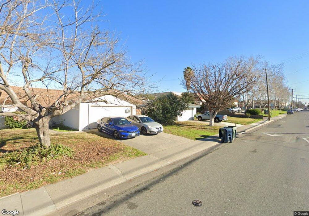
347 Jessie Ave Sacramento, CA 95838
Glenwood Meadows NeighborhoodEstimated Value: $262,000 - $420,000
4
Beds
2
Baths
1,230
Sq Ft
$291/Sq Ft
Est. Value
About This Home
This home is located at 347 Jessie Ave, Sacramento, CA 95838 and is currently estimated at $357,936, approximately $291 per square foot. 347 Jessie Ave is a home located in Sacramento County with nearby schools including Glenwood Elementary School, Rio Linda Preparatory Academy, and Norwood Junior High School.
Ownership History
Date
Name
Owned For
Owner Type
Purchase Details
Closed on
Jul 16, 2019
Sold by
Burns Robert A and Burns Pearlie M
Bought by
Burns Robert A and Burns Pearlie M
Current Estimated Value
Purchase Details
Closed on
Dec 16, 1999
Sold by
Cooper Thurmond and Bankston Mary
Bought by
Burns Robert A and Burns Pearlie M
Purchase Details
Closed on
Dec 14, 1999
Sold by
Cooper Family Living Trust and Pearlie M
Bought by
Cooper Thurmond and Bankston Mary
Purchase Details
Closed on
May 25, 1995
Sold by
Cooper Thomas and Cooper Louise
Bought by
Cooper Thomas and Cooper Louise
Create a Home Valuation Report for This Property
The Home Valuation Report is an in-depth analysis detailing your home's value as well as a comparison with similar homes in the area
Home Values in the Area
Average Home Value in this Area
Purchase History
| Date | Buyer | Sale Price | Title Company |
|---|---|---|---|
| Burns Robert A | -- | None Available | |
| Burns Robert A | $61,500 | -- | |
| Cooper Thurmond | -- | -- | |
| Cooper Thomas | -- | -- |
Source: Public Records
Tax History Compared to Growth
Tax History
| Year | Tax Paid | Tax Assessment Tax Assessment Total Assessment is a certain percentage of the fair market value that is determined by local assessors to be the total taxable value of land and additions on the property. | Land | Improvement |
|---|---|---|---|---|
| 2025 | $1,577 | $106,765 | $14,174 | $92,591 |
| 2024 | $1,577 | $104,673 | $13,897 | $90,776 |
| 2023 | $1,620 | $102,622 | $13,625 | $88,997 |
| 2022 | $1,537 | $100,610 | $13,358 | $87,252 |
| 2021 | $1,533 | $98,639 | $13,097 | $85,542 |
| 2020 | $1,504 | $97,628 | $12,963 | $84,665 |
| 2019 | $1,497 | $95,714 | $12,709 | $83,005 |
| 2018 | $1,397 | $93,838 | $12,460 | $81,378 |
| 2017 | $1,632 | $91,999 | $12,216 | $79,783 |
| 2016 | $1,357 | $90,196 | $11,977 | $78,219 |
| 2015 | $1,262 | $88,841 | $11,796 | $77,045 |
| 2014 | $1,278 | $87,101 | $11,565 | $75,536 |
Source: Public Records
Map
Nearby Homes
- 335 Jessie Ave
- 328 Las Animas Cir
- 230 Du Bois Ave
- 541 Samuel Way
- 568 Samuel Way
- 400 Berthoud St
- 3940 Norwood Ave
- 173 Bell Ave
- 131 Mcdaniel Cir
- 2 Keely Ct
- 4550 Norwood Ave
- 1 Butterwick Ct
- 4561 Tidewind Dr
- 4482 Windcloud Ave
- 250 Morey Ave
- 3812 Didcot Cir
- 3815 Lee Brook Way
- 3736 Knightlinger St
- 661 Tailwind Dr
- Plan 7 at Valley Vista