347 Lost River Dr Unit 347 Blacklick, OH 43004
East Broad NeighborhoodEstimated Value: $156,000 - $162,000
1
Bed
2
Baths
756
Sq Ft
$211/Sq Ft
Est. Value
About This Home
This home is located at 347 Lost River Dr Unit 347, Blacklick, OH 43004 and is currently estimated at $159,415, approximately $210 per square foot. 347 Lost River Dr Unit 347 is a home located in Franklin County with nearby schools including Licking Heights High School, St Pius X School, and Grace Christian School.
Ownership History
Date
Name
Owned For
Owner Type
Purchase Details
Closed on
May 22, 2014
Sold by
Scowden Mark L and White Christie L
Bought by
Ammar Mohammed Ghiath
Current Estimated Value
Purchase Details
Closed on
Oct 18, 2007
Sold by
Waggoner Park Ltd
Bought by
Scowden Mark L and White Christie L
Home Financials for this Owner
Home Financials are based on the most recent Mortgage that was taken out on this home.
Original Mortgage
$83,836
Interest Rate
6.38%
Mortgage Type
FHA
Create a Home Valuation Report for This Property
The Home Valuation Report is an in-depth analysis detailing your home's value as well as a comparison with similar homes in the area
Home Values in the Area
Average Home Value in this Area
Purchase History
| Date | Buyer | Sale Price | Title Company |
|---|---|---|---|
| Ammar Mohammed Ghiath | $26,700 | None Available | |
| Scowden Mark L | $84,500 | Connor Land |
Source: Public Records
Mortgage History
| Date | Status | Borrower | Loan Amount |
|---|---|---|---|
| Previous Owner | Scowden Mark L | $83,836 |
Source: Public Records
Tax History
| Year | Tax Paid | Tax Assessment Tax Assessment Total Assessment is a certain percentage of the fair market value that is determined by local assessors to be the total taxable value of land and additions on the property. | Land | Improvement |
|---|---|---|---|---|
| 2025 | $2,689 | $50,720 | $11,550 | $39,170 |
| 2024 | $2,689 | $50,720 | $11,550 | $39,170 |
| 2023 | $2,759 | $50,720 | $11,550 | $39,170 |
| 2022 | $1,489 | $23,730 | $5,040 | $18,690 |
| 2021 | $1,498 | $23,730 | $5,040 | $18,690 |
| 2020 | $1,489 | $23,730 | $5,040 | $18,690 |
| 2019 | $1,341 | $19,780 | $4,200 | $15,580 |
| 2018 | $674 | $19,780 | $4,200 | $15,580 |
| 2017 | $1,393 | $19,780 | $4,200 | $15,580 |
| 2016 | $1,177 | $16,460 | $2,490 | $13,970 |
| 2015 | $579 | $16,460 | $2,490 | $13,970 |
| 2014 | $1,139 | $16,460 | $2,490 | $13,970 |
| 2013 | $666 | $19,320 | $2,905 | $16,415 |
Source: Public Records
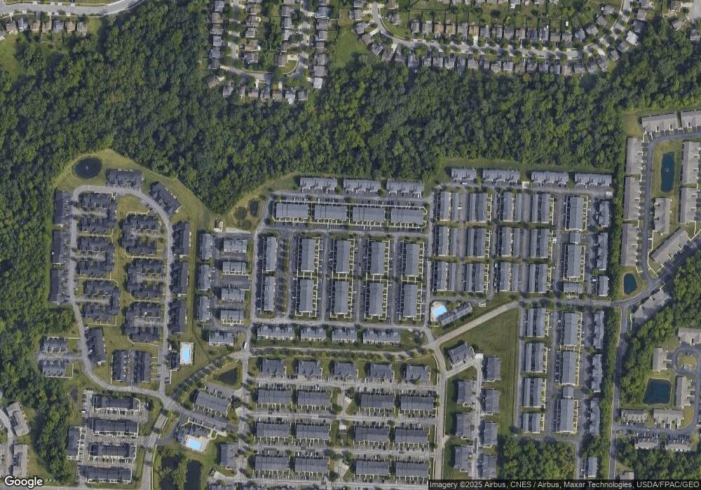
Map
Nearby Homes
- 8278 Catalpa Ridge Dr Unit 8278
- 346 Shadbush Dr Unit 346
- 380 Oxford Oak Dr Unit 380
- 354 Preswicke Mill Unit 354
- 247 Oxford Oak Dr Unit 247
- 217 Preswicke Mill Unit 217
- 8402 Varden Ct Unit 2102
- 123 Preswicke Mill Unit 123
- 392 Old Ivory Ct
- 8231 Sea Star Dr
- 8442 Arlen Dr
- 8222 Old Ivory Way
- 8063 Arbor Rose Way
- 8340 Crete Ln
- 406 Hances Dr
- 670 Redwood Valley Dr
- 8565 Haleigh Woods Dr
- 725 Flowering Cherry Ct
- 8661 Crooked Maple Dr
- 8648 Crooked Maple Dr
- 8245 Sugar Magnolia Dr Unit 8245
- 343 Lost River Dr Unit 343
- 346 Slippery Elm Dr Unit 346
- 8241 Sugar Magnolia Dr Unit 8241
- 342 Slippery Elm Dr Unit 342
- 339 Lost River Dr Unit 339
- 338 Slippery Elm Dr Unit 338
- 335 Lost River Dr Unit 335
- 334 Slippery Elm Dr Unit 334
- 331 Lost River Dr Unit 331
- 330 Slippery Elm Dr Unit 330
- 326 Slippery Elm Dr Unit 326
- 323 Lost River Dr Unit 323
- 322 Slippery Elm Dr Unit 322
- 8265 Sugar Magnolia Dr Unit 8265
- 344 Lost River Dr
- 348 Lost River Dr Unit 348
- 8242 Sugar Magnolia Dr
- 340 Lost River Dr Unit 340
- 8254 Sugar Magnolia Dr Unit 8254
Your Personal Tour Guide
Ask me questions while you tour the home.