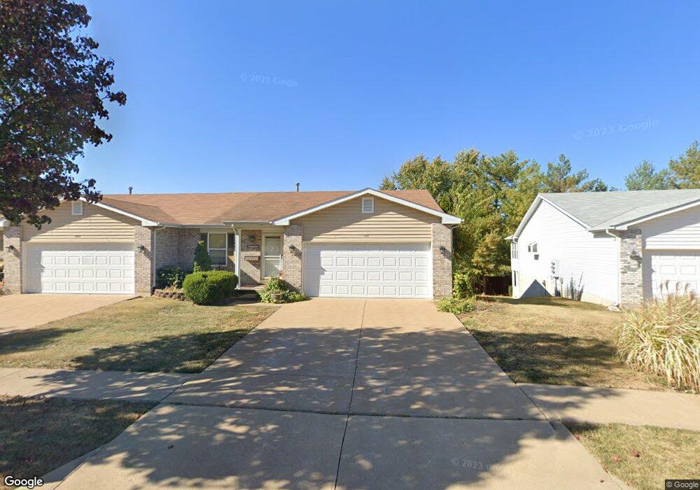
347 Oak Ridge Pkwy Arnold, MO 63010
Estimated Value: $275,000 - $304,000
--
Bed
2
Baths
1,500
Sq Ft
$194/Sq Ft
Est. Value
About This Home
This home is located at 347 Oak Ridge Pkwy, Arnold, MO 63010 and is currently estimated at $291,165, approximately $194 per square foot. 347 Oak Ridge Pkwy is a home with nearby schools including Clyde Hamrick Elementary School, Ridgewood Middle School, and Fox Senior High School.
Ownership History
Date
Name
Owned For
Owner Type
Purchase Details
Closed on
Jul 15, 2022
Sold by
Donald Kleinhans
Bought by
Harris Patricia
Current Estimated Value
Purchase Details
Closed on
Aug 7, 2006
Sold by
Kleinhans Connie and Kleinhans Donald
Bought by
Kleinhans Donald and Kleinhans Connie
Home Financials for this Owner
Home Financials are based on the most recent Mortgage that was taken out on this home.
Original Mortgage
$181,900
Interest Rate
6.55%
Mortgage Type
New Conventional
Purchase Details
Closed on
Nov 26, 2003
Sold by
New Way Development Inc
Bought by
Varnon Connie
Home Financials for this Owner
Home Financials are based on the most recent Mortgage that was taken out on this home.
Original Mortgage
$140,135
Interest Rate
6.01%
Mortgage Type
Purchase Money Mortgage
Create a Home Valuation Report for This Property
The Home Valuation Report is an in-depth analysis detailing your home's value as well as a comparison with similar homes in the area
Home Values in the Area
Average Home Value in this Area
Purchase History
| Date | Buyer | Sale Price | Title Company |
|---|---|---|---|
| Harris Patricia | -- | None Listed On Document | |
| Kleinhans Donald | -- | Cave Springs Title | |
| Varnon Connie | -- | Capital Title |
Source: Public Records
Mortgage History
| Date | Status | Borrower | Loan Amount |
|---|---|---|---|
| Previous Owner | Kleinhans Donald | $181,900 | |
| Previous Owner | Varnon Connie | $140,135 |
Source: Public Records
Tax History Compared to Growth
Tax History
| Year | Tax Paid | Tax Assessment Tax Assessment Total Assessment is a certain percentage of the fair market value that is determined by local assessors to be the total taxable value of land and additions on the property. | Land | Improvement |
|---|---|---|---|---|
| 2025 | $2,106 | $32,400 | $3,600 | $28,800 |
| 2024 | $2,106 | $30,100 | $3,600 | $26,500 |
| 2023 | $2,106 | $30,100 | $3,600 | $26,500 |
| 2022 | $2,146 | $30,100 | $3,600 | $26,500 |
| 2021 | $2,147 | $30,100 | $3,600 | $26,500 |
| 2020 | $2,022 | $26,900 | $3,100 | $23,800 |
| 2019 | $2,028 | $26,900 | $3,100 | $23,800 |
| 2018 | $2,008 | $26,800 | $3,100 | $23,700 |
| 2017 | $2,038 | $26,800 | $3,100 | $23,700 |
| 2016 | $1,759 | $24,800 | $3,100 | $21,700 |
| 2015 | $1,764 | $24,800 | $3,100 | $21,700 |
| 2013 | -- | $24,600 | $3,100 | $21,500 |
Source: Public Records
Map
Nearby Homes
- 10 Anthony Ct
- 1532 Kingsway Dr
- 1539 Roy Dr
- 1635 Kirkham Dr
- 1859 Engle Dr
- 1506 Lonedell Rd
- 1924 Jennifer Lynn Ln
- 1732 E Highview Dr
- 1909 Laverne Dr
- 1858 Sonny Dr
- 539 Blackberry Path
- 14 & 15 Valmont Lots
- 2009 Buck Dr
- 2558 Frederitzi Ln
- 213 Dell View Dr
- 3512 Lonedell Ridge Dr
- 3364 Vine Clad Hill Dr
- 3351 Vine Clad Hill Dr
- 4 Caleb Cir
- 3356 Vine Clad Hill Dr
- 341 Oak Ridge Pkwy
- 351 Oak Ridge Pkwy
- 349 Oak Ridge Pkwy
- 25 Crosswinds Dr Unit 25-28
- 25 Crosswinds Dr
- 339 Oak Ridge Pkwy
- 337 Oak Ridge Pkwy
- 346 Oak Ridge Pkwy
- 29 Crosswinds Dr
- 348 Oak Ridge Pkwy
- 342 Oak Ridge Pkwy
- 355 Oak Ridge Pkwy
- 340 Oak Ridge Pkwy
- 352 Oak Ridge Pkwy
- 333 Oak Ridge Pkwy
- 354 Oak Ridge Pkwy
- 215218 Crosswinds Dr
- 21114 Crosswinds Dr
- 2932 Crosswinds Dr
- 336 Oak Ridge Pkwy