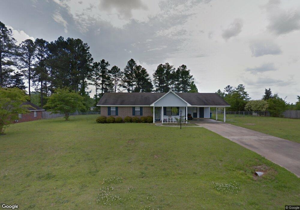
347 Thornton Dr Columbus, MS 39702
Estimated Value: $175,000 - $210,000
Studio
--
Bath
1,388
Sq Ft
$136/Sq Ft
Est. Value
About This Home
This home is located at 347 Thornton Dr, Columbus, MS 39702 and is currently estimated at $189,373, approximately $136 per square foot. 347 Thornton Dr is a home.
Ownership History
Date
Name
Owned For
Owner Type
Purchase Details
Closed on
Aug 22, 2019
Sold by
Barksdale Allison O and Barksdale Ronald
Bought by
Cotton Kimberly L
Current Estimated Value
Home Financials for this Owner
Home Financials are based on the most recent Mortgage that was taken out on this home.
Original Mortgage
$121,754
Outstanding Balance
$106,402
Interest Rate
3.7%
Mortgage Type
FHA
Estimated Equity
$82,971
Purchase Details
Closed on
Feb 24, 2012
Sold by
Jpmorgan Chase Bank
Bought by
Trojan Properties Llc
Home Financials for this Owner
Home Financials are based on the most recent Mortgage that was taken out on this home.
Original Mortgage
$53,573
Interest Rate
3.91%
Create a Home Valuation Report for This Property
The Home Valuation Report is an in-depth analysis detailing your home's value as well as a comparison with similar homes in the area
Purchase History
| Date | Buyer | Sale Price | Title Company |
|---|---|---|---|
| Cotton Kimberly L | -- | -- | |
| Trojan Properties Llc | -- | -- |
Source: Public Records
Mortgage History
| Date | Status | Borrower | Loan Amount |
|---|---|---|---|
| Open | Cotton Kimberly L | $121,754 | |
| Previous Owner | Trojan Properties Llc | $53,573 |
Source: Public Records
Tax History
| Year | Tax Paid | Tax Assessment Tax Assessment Total Assessment is a certain percentage of the fair market value that is determined by local assessors to be the total taxable value of land and additions on the property. | Land | Improvement |
|---|---|---|---|---|
| 2025 | $819 | $11,437 | $0 | $0 |
| 2024 | $810 | $11,437 | $0 | $0 |
| 2023 | $658 | $9,910 | $0 | $0 |
| 2022 | $658 | $9,910 | $0 | $0 |
| 2021 | $623 | $9,910 | $0 | $0 |
| 2020 | $572 | $9,910 | $0 | $0 |
| 2019 | $422 | $11,966 | $0 | $0 |
| 2018 | $422 | $7,959 | $0 | $0 |
| 2017 | $390 | $7,959 | $0 | $0 |
| 2016 | $390 | $7,959 | $0 | $0 |
| 2015 | $412 | $8,213 | $0 | $0 |
| 2014 | $412 | $8,213 | $0 | $0 |
Source: Public Records
Map
Nearby Homes
- 611 Thornton Dr
- 732 Thornton Dr
- 479 Bryant Rd
- 76 Richardson Rd
- 1553 Hildreth Rd
- 91 Wilson Dr
- 805 Timber Creek Dr
- 836 Oswalt Rd
- 304 Timber Creek Dr
- 262 Center Rd
- 274 Hughes Rd
- 164 Sleepy Fawn Park
- 178 Rogers Way
- 59 Savannah St
- 17 Paige Cove
- 9 Monticello Cir
- 16 Jenny Ln
- 0 E Minnie Vaughn Rd
- 248 Lakeover Dr W
- 0 Golding Cir
- 317 Thornton Dr
- 367 Thornton Dr
- 342 Thornton Dr
- 350 Thornton Dr
- 303 Thornton Dr
- 318 Thornton Dr
- 372 Thornton Dr
- 302 Thornton Dr
- 289 Thornton Dr
- 527 Thornton Dr
- 445 Thornton Dr
- 513 Thornton Dr
- 541 Thornton Dr
- 288 Thornton Dr
- 553 Thornton Dr
- 386 Thornton Dr
- 275 Thornton Dr
- 402 Thornton Dr
- 278 Thornton Dr
- 414 Thornton Dr
Your Personal Tour Guide
Ask me questions while you tour the home.