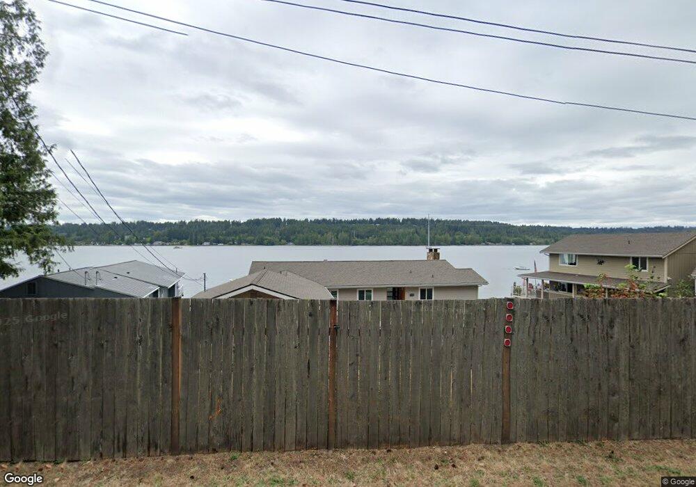
3470 E State Route 302 Belfair, WA 98528
Estimated Value: $778,000 - $1,018,000
3
Beds
2
Baths
1,851
Sq Ft
$479/Sq Ft
Est. Value
About This Home
This home is located at 3470 E State Route 302, Belfair, WA 98528 and is currently estimated at $885,821, approximately $478 per square foot. 3470 E State Route 302 is a home located in Mason County with nearby schools including North Mason Senior High School.
Ownership History
Date
Name
Owned For
Owner Type
Purchase Details
Closed on
Jun 29, 2020
Sold by
Degroot Richard J and Degroot Maureen E
Bought by
Hlad Troy Alan and Maki Tammy Sue
Current Estimated Value
Home Financials for this Owner
Home Financials are based on the most recent Mortgage that was taken out on this home.
Original Mortgage
$472,000
Outstanding Balance
$419,315
Interest Rate
3.2%
Mortgage Type
New Conventional
Estimated Equity
$466,506
Purchase Details
Closed on
Jul 8, 2011
Sold by
Victor Beach House Llc
Bought by
Degroot Richard J and Degroot Maureen E
Purchase Details
Closed on
Feb 1, 2009
Sold by
Degroot Edward B and Degroot Mildred L
Bought by
Victor Beach House Llc
Home Financials for this Owner
Home Financials are based on the most recent Mortgage that was taken out on this home.
Original Mortgage
$480,000
Interest Rate
5.04%
Mortgage Type
Purchase Money Mortgage
Create a Home Valuation Report for This Property
The Home Valuation Report is an in-depth analysis detailing your home's value as well as a comparison with similar homes in the area
Home Values in the Area
Average Home Value in this Area
Purchase History
| Date | Buyer | Sale Price | Title Company |
|---|---|---|---|
| Hlad Troy Alan | $590,000 | Aegis Land Title Group | |
| Degroot Richard J | -- | Mason County Title Ins Co | |
| Victor Beach House Llc | $500,000 | Mason County Title Ins Co |
Source: Public Records
Mortgage History
| Date | Status | Borrower | Loan Amount |
|---|---|---|---|
| Open | Hlad Troy Alan | $472,000 | |
| Previous Owner | Victor Beach House Llc | $480,000 |
Source: Public Records
Tax History Compared to Growth
Tax History
| Year | Tax Paid | Tax Assessment Tax Assessment Total Assessment is a certain percentage of the fair market value that is determined by local assessors to be the total taxable value of land and additions on the property. | Land | Improvement |
|---|---|---|---|---|
| 2025 | $5,981 | $859,755 | $200,560 | $659,195 |
| 2023 | $5,981 | $490,730 | $182,325 | $308,405 |
| 2022 | $5,861 | $650,365 | $316,250 | $334,115 |
| 2021 | $4,670 | $650,365 | $316,250 | $334,115 |
| 2020 | $5,079 | $537,395 | $268,950 | $268,445 |
| 2018 | $5,194 | $440,215 | $256,140 | $184,075 |
| 2017 | $4,875 | $440,215 | $256,140 | $184,075 |
| 2016 | $4,504 | $426,580 | $256,140 | $170,440 |
| 2015 | $5,243 | $395,505 | $242,480 | $153,025 |
| 2014 | -- | $466,365 | $311,760 | $154,605 |
| 2013 | -- | $453,745 | $311,760 | $141,985 |
Source: Public Records
Map
Nearby Homes
- 3250 E State Route 302
- 730 E North Bay Rd
- 62 E North Bay Rd
- 2007 140th St NW
- 2008 144th St NW
- 2006 140th St NW
- 13505 E Victor Rd
- 0 xxxx E Sullivan St
- 0 E Sullivan St Unit NWM2396214
- 0 Undisclosed Unit NWM2427708
- 71 E Sullivan St
- 81 E Sullivan St
- 19011 Washington 3 Unit A
- 19013 Washington 3 Unit A-B
- 30 E Compass Ln
- 19015 E State Route 3 Unit A-B
- 19019 19013 E State Route 3
- 19017 E State Route 3 Unit A-B
- 60 Compass Ln E Unit A98524
- 1857 Plan at Allyn Ridge
- 3460 E State Route 302
- 3480 E State Route 302
- 3450 E State Route 302
- 3482 E State Route 302
- 3440 E State Route 302
- 3490 E State Route 302
- 3500 E State Route 302
- 3420 E State Route 302
- 3510 E State Route 302
- 3520 E State Route 302
- 3410 E State Route 302
- 3540 E State Route 302
- 3550 E State Route 302
- 3372 Washington 302
- 3560 E State Route 302
- 3387 State Highway 302 Kp N
- 3580 E State Route 302
- 3590 E State Route 302
- 3610 E State Route 302
- 3383 State Highway 302 Kp N