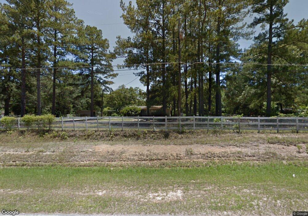
3470 Lewis Rd Augusta, GA 30909
Belair NeighborhoodEstimated Value: $189,000 - $338,000
3
Beds
2
Baths
1,344
Sq Ft
$188/Sq Ft
Est. Value
About This Home
This home is located at 3470 Lewis Rd, Augusta, GA 30909 and is currently estimated at $252,537, approximately $187 per square foot. 3470 Lewis Rd is a home located in Richmond County with nearby schools including Belair K-8 School, Johnson Magnet, and Greater Augusta Christian Academy.
Ownership History
Date
Name
Owned For
Owner Type
Purchase Details
Closed on
Jul 10, 2023
Sold by
Logue Jeffrey S
Bought by
Logue Jeffrey Stephen and Logue Ginger Avery
Current Estimated Value
Home Financials for this Owner
Home Financials are based on the most recent Mortgage that was taken out on this home.
Original Mortgage
$132,860
Outstanding Balance
$39,619
Interest Rate
6.71%
Mortgage Type
New Conventional
Estimated Equity
$212,918
Purchase Details
Closed on
Jan 14, 2021
Sold by
Odom Warren
Bought by
Logue Jeffrey S
Create a Home Valuation Report for This Property
The Home Valuation Report is an in-depth analysis detailing your home's value as well as a comparison with similar homes in the area
Home Values in the Area
Average Home Value in this Area
Purchase History
| Date | Buyer | Sale Price | Title Company |
|---|---|---|---|
| Logue Jeffrey Stephen | -- | -- | |
| Logue Jeffrey S | $15,000 | -- | |
| Odom Warren | -- | -- | |
| Odom Warren | -- | -- |
Source: Public Records
Mortgage History
| Date | Status | Borrower | Loan Amount |
|---|---|---|---|
| Open | Logue Jeffrey Stephen | $132,860 |
Source: Public Records
Tax History Compared to Growth
Tax History
| Year | Tax Paid | Tax Assessment Tax Assessment Total Assessment is a certain percentage of the fair market value that is determined by local assessors to be the total taxable value of land and additions on the property. | Land | Improvement |
|---|---|---|---|---|
| 2024 | $2,528 | $69,240 | $4,150 | $65,090 |
| 2023 | $1,237 | $36,480 | $4,150 | $32,330 |
| 2022 | $471 | $5,746 | $4,150 | $1,596 |
| 2021 | $342 | $11,038 | $3,192 | $7,846 |
| 2020 | $336 | $10,857 | $3,192 | $7,665 |
| 2019 | $325 | $10,458 | $3,192 | $7,266 |
| 2018 | $326 | $10,468 | $3,192 | $7,276 |
| 2017 | $327 | $10,502 | $3,192 | $7,310 |
| 2016 | $311 | $10,004 | $3,192 | $6,812 |
| 2015 | $317 | $10,179 | $3,192 | $6,987 |
| 2014 | $311 | $9,594 | $3,192 | $6,402 |
Source: Public Records
Map
Nearby Homes
- 620 Lampart Dr
- 624 Lampart Dr
- 604 Lampart Dr
- 1277 Elbron Dr
- 1281 Elbron Dr
- 1257 Elbron Dr
- 1261 Elbron Dr
- 5301 Copse Dr
- 1293 Elbron Dr
- 9065 Brevard Rd
- 8025 Crawley St
- Ridgemont 14 EL Plan at Haynes Station
- Kingston 17 EL Plan at Haynes Station
- Thornhill Plan at Haynes Station
- Greyson 4 EL Plan at Haynes Station
- Stapleton Manor 11 Plan at Haynes Station
- Thornhill 6 Plan at Haynes Station
- Wynstone 5 EL Plan at Haynes Station
- Columbia 16 EL Plan at Haynes Station
- Richland Manor 15 EL Plan at Haynes Station