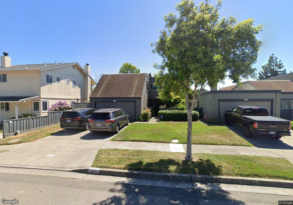
3472 Mecartney Rd Alameda, CA 94502
Harbor Bay/Bay Farm NeighborhoodEstimated Value: $987,000 - $1,251,435
4
Beds
3
Baths
2,083
Sq Ft
$565/Sq Ft
Est. Value
About This Home
This home is located at 3472 Mecartney Rd, Alameda, CA 94502 and is currently estimated at $1,177,359, approximately $565 per square foot. 3472 Mecartney Rd is a home located in Alameda County with nearby schools including Amelia Earhart Elementary School, Lincoln Middle School, and Alameda High School.
Ownership History
Date
Name
Owned For
Owner Type
Purchase Details
Closed on
Nov 9, 2017
Sold by
Rolleri Paula M
Bought by
Chiu Jue Brian Ming and Chiu Jue Ellen
Current Estimated Value
Home Financials for this Owner
Home Financials are based on the most recent Mortgage that was taken out on this home.
Original Mortgage
$550,000
Outstanding Balance
$460,630
Interest Rate
3.83%
Mortgage Type
New Conventional
Estimated Equity
$716,729
Purchase Details
Closed on
Mar 10, 2011
Sold by
Rolleri Thomas T
Bought by
Rolleri Paula M
Create a Home Valuation Report for This Property
The Home Valuation Report is an in-depth analysis detailing your home's value as well as a comparison with similar homes in the area
Home Values in the Area
Average Home Value in this Area
Purchase History
| Date | Buyer | Sale Price | Title Company |
|---|---|---|---|
| Chiu Jue Brian Ming | $830,000 | Fidelity National Title Co | |
| Rolleri Paula M | -- | None Available |
Source: Public Records
Mortgage History
| Date | Status | Borrower | Loan Amount |
|---|---|---|---|
| Open | Chiu Jue Brian Ming | $550,000 |
Source: Public Records
Tax History
| Year | Tax Paid | Tax Assessment Tax Assessment Total Assessment is a certain percentage of the fair market value that is determined by local assessors to be the total taxable value of land and additions on the property. | Land | Improvement |
|---|---|---|---|---|
| 2025 | $13,581 | $944,381 | $283,314 | $661,067 |
| 2024 | $13,581 | $925,864 | $277,759 | $648,105 |
| 2023 | $13,064 | $907,712 | $272,313 | $635,399 |
| 2022 | $12,777 | $889,917 | $266,975 | $622,942 |
| 2021 | $12,384 | $865,470 | $261,741 | $610,729 |
| 2020 | $12,239 | $863,531 | $259,059 | $604,472 |
| 2019 | $11,598 | $846,600 | $253,980 | $592,620 |
| 2018 | $11,285 | $830,000 | $249,000 | $581,000 |
| 2017 | $3,233 | $204,927 | $90,558 | $114,369 |
| 2016 | $3,217 | $200,909 | $88,783 | $112,126 |
| 2015 | $3,198 | $197,891 | $87,449 | $110,442 |
| 2014 | $3,068 | $194,015 | $85,736 | $108,279 |
Source: Public Records
Map
Nearby Homes
- 3523 Oleander Ave
- 1152 Old Alameda Point
- 820 Island Dr
- 3315 Willis Ln
- 1286 Clarke Ln
- 3405 Catalina Ave
- 1149 Bismarck Ln
- 3218 Fir Ave
- 3211 Phoenix Ln
- 3201 Phoenix Ln
- 1159 Admiralty Ln
- 1119 Camino Del Valle
- 179 Oyster Pond Rd
- 622 Ironwood Rd
- 321 Ratto Rd
- 1007 Via Aliso
- 3037 Linda Vista
- 1024 Fontana Dr
- 30 Sea Bridge
- 154 Basinside Way
- 3468 Mecartney Rd
- 156 Mecartney Rd
- 3462 Mecartney Rd
- 160 Mecartney Rd
- 3458 Mecartney Rd
- 3442 Camanoe Ln
- 164 Mecartney Rd
- 1019 Tobago Ln
- 3440 Camanoe Ln
- 405 Melrose Ave
- 3454 Mecartney Rd
- 3438 Camanoe Ln
- 401 Melrose Ave
- 152 Maitland Dr
- 1021 Tobago Ln
- 158 Maitland Dr
- 3436 Camanoe Ln
- 146 Maitland Dr
- 3434 Camanoe Ln
- 1023 Tobago Ln
Your Personal Tour Guide
Ask me questions while you tour the home.