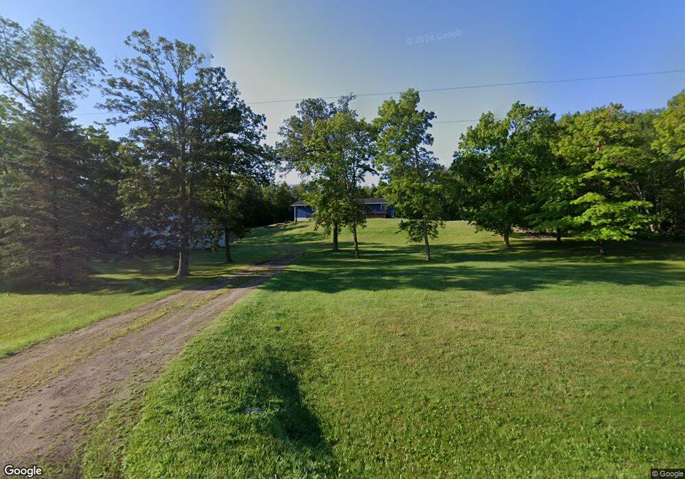
34739 Hubble Pond Rd Rochert, MN 56578
Estimated Value: $415,000 - $622,000
3
Beds
1
Bath
2,208
Sq Ft
$231/Sq Ft
Est. Value
About This Home
This home is located at 34739 Hubble Pond Rd, Rochert, MN 56578 and is currently estimated at $510,635, approximately $231 per square foot. 34739 Hubble Pond Rd is a home located in Becker County with nearby schools including Frazee Secondary School.
Ownership History
Date
Name
Owned For
Owner Type
Purchase Details
Closed on
Aug 28, 2025
Sold by
Nelson Edward O and Nelson Carol A
Bought by
Nelson Brian E
Current Estimated Value
Purchase Details
Closed on
May 11, 2012
Sold by
Nelson Timothy E and Nelson Amy J
Bought by
Nelson Timothy E and Nelson Amy J
Home Financials for this Owner
Home Financials are based on the most recent Mortgage that was taken out on this home.
Original Mortgage
$140,000
Interest Rate
4%
Mortgage Type
New Conventional
Create a Home Valuation Report for This Property
The Home Valuation Report is an in-depth analysis detailing your home's value as well as a comparison with similar homes in the area
Home Values in the Area
Average Home Value in this Area
Purchase History
| Date | Buyer | Sale Price | Title Company |
|---|---|---|---|
| Nelson Brian E | $500 | None Listed On Document | |
| Nelson Timothy E | -- | Becker County Title Services |
Source: Public Records
Mortgage History
| Date | Status | Borrower | Loan Amount |
|---|---|---|---|
| Previous Owner | Nelson Timothy E | $140,000 |
Source: Public Records
Tax History Compared to Growth
Tax History
| Year | Tax Paid | Tax Assessment Tax Assessment Total Assessment is a certain percentage of the fair market value that is determined by local assessors to be the total taxable value of land and additions on the property. | Land | Improvement |
|---|---|---|---|---|
| 2025 | $2,822 | $472,300 | $64,100 | $408,200 |
| 2024 | $2,688 | $437,500 | $66,300 | $371,200 |
| 2023 | $2,930 | $412,200 | $66,300 | $345,900 |
| 2022 | $2,626 | $331,500 | $57,200 | $274,300 |
| 2021 | $2,284 | $323,200 | $57,200 | $266,000 |
| 2020 | $2,384 | $323,200 | $57,200 | $266,000 |
| 2019 | $2,074 | $325,500 | $57,200 | $268,300 |
| 2018 | $2,022 | $287,300 | $57,200 | $230,100 |
| 2017 | $2,132 | $267,200 | $48,600 | $218,600 |
| 2016 | $2,138 | $264,000 | $48,600 | $215,400 |
| 2015 | $1,968 | $240,400 | $48,600 | $191,800 |
| 2014 | -- | $233,300 | $48,600 | $184,700 |
Source: Public Records
Map
Nearby Homes
- 20771 County Highway 29
- 20850 Leona Beach Rd
- TBD Tract C Carlson Dr
- TBD Tract A Carlson Dr
- 32360 SW Pickerel Lake Rd
- TBD Tract C SW Height of Land Dr
- TBD Tract A SW Height of Land Dr
- 37855 SW Height of Land Dr
- 31774 State Highway 34
- 17231 330th Ave
- Lot 7 SW Pickerel Lake Rd
- 30558 Sunset Rd
- 31134 170th St
- 37551 County Road 126
- 16704 Mountain Ridge Rd
- 18919 395th Ave
- 22560 E Height of Land Dr
- TBD 302 Ave
- 18117 Cherry Creek Ln
- 20802 400th Ave
- 34791 Hubble Pond Rd
- 34671 Hubble Pond Rd
- 34881 Hubble Pond Rd
- 344xx Hubble Pond Rd
- 344xx Hubble Pond Rd
- 34533 Hubble Pond Rd
- 34449 Hubble Pond Rd
- 34411 Hubble Pond Rd
- 35119 Hubble Pond Rd
- 19925 350th Ave
- 19925 350 Ave
- 19896 350th Ave
- 34307 Hubble Pond Rd
- 19872 350th Ave
- 19843 350th Ave
- 34249 Hubble Pond Rd
- 35125 Hubble Pond Rd
- 19833 350th Ave
- 20389 County Highway 29
- 20267 County Highway 29