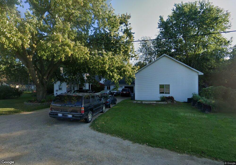
3479 Niles Path Saint Joseph, MI 49085
Estimated Value: $210,505 - $265,000
3
Beds
1
Bath
1,120
Sq Ft
$215/Sq Ft
Est. Value
About This Home
This home is located at 3479 Niles Path, Saint Joseph, MI 49085 and is currently estimated at $240,376, approximately $214 per square foot. 3479 Niles Path is a home located in Berrien County with nearby schools including Upton Middle School, St. Joseph High School, and Brookview Montessori School.
Ownership History
Date
Name
Owned For
Owner Type
Purchase Details
Closed on
Jan 29, 2024
Sold by
Alsup Frank L and Alsup Peggy A
Bought by
Goss Kaelyn R and Goss Robert C
Current Estimated Value
Purchase Details
Closed on
Dec 27, 2023
Sold by
Alsup Frank L and Alsup Peggy A
Bought by
Goss Kaelyn R and Goss Robert C
Purchase Details
Closed on
May 26, 2015
Sold by
Alsup Frank L and Alsup Peggy A
Bought by
Alsup Frank L and Alsup Peggy A
Purchase Details
Closed on
Jan 16, 2015
Sold by
Gillham Shirley L and Gillham Jimmie L
Bought by
Alsup Frank L and Alsup Peggy A
Create a Home Valuation Report for This Property
The Home Valuation Report is an in-depth analysis detailing your home's value as well as a comparison with similar homes in the area
Home Values in the Area
Average Home Value in this Area
Purchase History
| Date | Buyer | Sale Price | Title Company |
|---|---|---|---|
| Goss Kaelyn R | -- | None Listed On Document | |
| Goss Kaelyn R | -- | None Listed On Document | |
| Alsup Frank L | -- | None Available | |
| Alsup Frank L | $100,000 | None Available |
Source: Public Records
Tax History
| Year | Tax Paid | Tax Assessment Tax Assessment Total Assessment is a certain percentage of the fair market value that is determined by local assessors to be the total taxable value of land and additions on the property. | Land | Improvement |
|---|---|---|---|---|
| 2025 | $1,277 | $71,000 | $0 | $0 |
| 2024 | $2,002 | $61,900 | $0 | $0 |
| 2023 | $1,006 | $54,400 | $0 | $0 |
| 2022 | $958 | $47,200 | $0 | $0 |
| 2021 | $1,281 | $53,400 | $16,000 | $37,400 |
| 2020 | $1,255 | $54,500 | $0 | $0 |
| 2019 | $1,232 | $49,300 | $13,800 | $35,500 |
| 2018 | $1,210 | $49,300 | $0 | $0 |
| 2017 | $1,198 | $48,700 | $0 | $0 |
| 2016 | $2,309 | $54,600 | $0 | $0 |
| 2015 | $1,188 | $50,000 | $0 | $0 |
| 2014 | $1,099 | $55,900 | $0 | $0 |
Source: Public Records
Map
Nearby Homes
- 3423 Niles Rd
- 3545 Wyndwicke Dr
- 3634 Katherine Ln Unit 3
- 3623 Katherine Ln Unit 43
- 3184 Wyndwicke Dr
- 3160 Wyndwicke Dr
- Parcel C-1 Wyndwicke Dr
- 0 Wyndwicke Dr
- 317 Maiden Ln
- 520 Swan River Dr
- 558 Swan River Dr
- 516 Swan River Dr
- 574 Swan River Dr
- 590 Swan River Dr
- 634 Swan River Dr
- 525 Swan River Dr
- 519 Swan River Dr
- 539 Swan River Dr
- 529 Swan River Dr
- 3140 Bluffwood Place
- 3517 Niles Path
- 3465 Niles Rd
- 3502 Niles Rd Unit A
- 3499 Niles Path
- 3515 Niles Rd
- 3477 Niles Rd
- 3536 Niles Rd
- 3437 Niles Rd
- 3500 Niles Rd
- 3590 Niles Rd
- 3490 Wyndwicke Dr
- 3539 Niles Rd
- 3500 Wyndwicke Dr Unit 3
- 3480 Wyndwicke Dr
- 3510 Wyndwicke Dr
- 3510 Wyndwicke Dr Unit 4
- 3440 Wyndwicke Dr
- 00 Niles Rd
- 0 Niles Rd
- 3520 Wyndwicke Dr
Your Personal Tour Guide
Ask me questions while you tour the home.