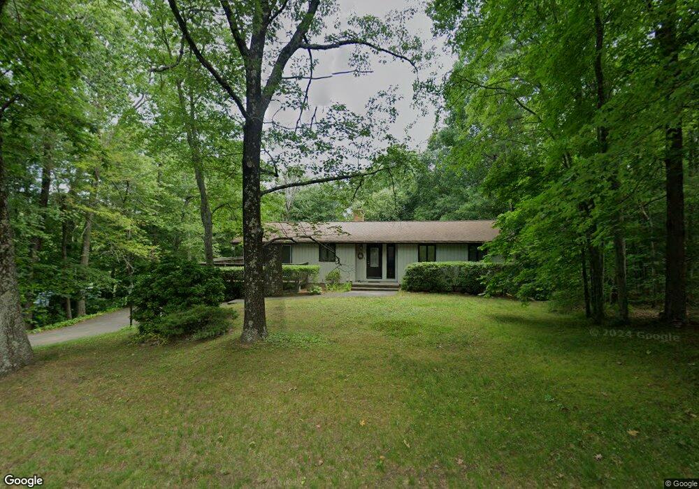
348 Glendale Rd Wilbraham, MA 01095
Estimated Value: $397,000 - $516,000
3
Beds
3
Baths
1,352
Sq Ft
$336/Sq Ft
Est. Value
About This Home
This home is located at 348 Glendale Rd, Wilbraham, MA 01095 and is currently estimated at $454,935, approximately $336 per square foot. 348 Glendale Rd is a home located in Hampden County with nearby schools including Minnechaug Regional High School and Wilbraham & Monson Academy.
Ownership History
Date
Name
Owned For
Owner Type
Purchase Details
Closed on
Jun 7, 2001
Sold by
Mason Donald P and Mason Barbara A
Bought by
Maynard Robert E and Valentin Gladys M
Current Estimated Value
Home Financials for this Owner
Home Financials are based on the most recent Mortgage that was taken out on this home.
Original Mortgage
$144,400
Interest Rate
7.08%
Mortgage Type
Purchase Money Mortgage
Purchase Details
Closed on
Aug 29, 1996
Sold by
Czaplicki Kevin J and Czpalicki Lauren J
Bought by
Mason Donald P and Mason Barbara A
Purchase Details
Closed on
Sep 25, 1987
Sold by
Bates Margaret J
Bought by
Czaplicki Kevin J
Create a Home Valuation Report for This Property
The Home Valuation Report is an in-depth analysis detailing your home's value as well as a comparison with similar homes in the area
Home Values in the Area
Average Home Value in this Area
Purchase History
| Date | Buyer | Sale Price | Title Company |
|---|---|---|---|
| Maynard Robert E | $180,501 | -- | |
| Mason Donald P | $136,000 | -- | |
| Czaplicki Kevin J | $150,000 | -- |
Source: Public Records
Mortgage History
| Date | Status | Borrower | Loan Amount |
|---|---|---|---|
| Open | Czaplicki Kevin J | $110,700 | |
| Closed | Czaplicki Kevin J | $144,400 | |
| Previous Owner | Czaplicki Kevin J | $135,000 | |
| Previous Owner | Czaplicki Kevin J | $74,000 |
Source: Public Records
Tax History
| Year | Tax Paid | Tax Assessment Tax Assessment Total Assessment is a certain percentage of the fair market value that is determined by local assessors to be the total taxable value of land and additions on the property. | Land | Improvement |
|---|---|---|---|---|
| 2025 | $6,508 | $364,000 | $97,900 | $266,100 |
| 2024 | $6,390 | $345,400 | $97,900 | $247,500 |
| 2023 | $5,897 | $327,200 | $97,900 | $229,300 |
| 2022 | $5,897 | $287,800 | $97,900 | $189,900 |
| 2021 | $5,830 | $253,900 | $107,500 | $146,400 |
| 2020 | $5,682 | $253,900 | $107,500 | $146,400 |
| 2019 | $5,535 | $253,900 | $107,500 | $146,400 |
| 2018 | $5,232 | $231,100 | $107,500 | $123,600 |
| 2017 | $5,084 | $231,100 | $107,500 | $123,600 |
| 2016 | $4,845 | $224,300 | $114,200 | $110,100 |
| 2015 | $4,683 | $224,300 | $114,200 | $110,100 |
Source: Public Records
Map
Nearby Homes
- 474-480 Mountain Rd
- 16 Falcon Heights
- 474 Mountain Rd
- 5 Silver St
- 172 Main St
- 745 Glendale Rd
- 20 Old Orchard Rd
- 36 Maple St
- 5v Red Gap Rd
- 1 Aspen Dr
- 8 High Pine Cir
- 38 King Dr
- 7 Highridge Rd
- 6 Hilltop Park
- 104 High Pine Cir
- 35 Lake Dr
- 80 Elizabeth Dr
- 37 Balsam Hill Rd
- 44 Balsam Hill Rd
- 8 Patriot Ridge Ln
- 342V Glendale Rd
- 344 Glendale Rd
- 351 Glendale Rd
- 390 Glendale Rd
- 355 Glendale Rd
- 370 Glendale Rd
- 370 Glendale Rd
- 347 Glendale Rd
- 398 Glendale Rd
- 343 Glendale Rd
- 340 Glendale Rd
- 336 Glendale Rd
- 413 Glendale Rd
- 412 Glendale Rd
- 331 Glendale Rd
- 329 Glendale Rd
- 417 Glendale Rd
- 416 Glendale Rd
- 485 Glendale Rd
- 330 Glendale Rd
Your Personal Tour Guide
Ask me questions while you tour the home.