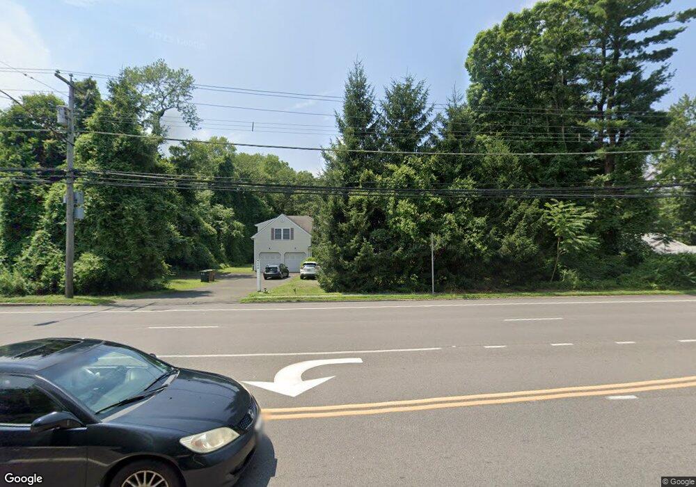
348 High Ridge Rd Stamford, CT 06905
Turn of the River-Newfield NeighborhoodEstimated Value: $1,400,587
5
Beds
6
Baths
2,963
Sq Ft
$473/Sq Ft
Est. Value
About This Home
This home is located at 348 High Ridge Rd, Stamford, CT 06905 and is currently estimated at $1,400,587, approximately $472 per square foot. 348 High Ridge Rd is a home located in Fairfield County with nearby schools including Stillmeadow Elementary School, Rippowam Middle School, and Westhill High School.
Ownership History
Date
Name
Owned For
Owner Type
Purchase Details
Closed on
Jan 27, 2006
Sold by
Adelson James
Bought by
Ffld Cnty Chinese Chrc
Current Estimated Value
Purchase Details
Closed on
Jun 23, 2003
Sold by
Bodick Carolyn C
Bought by
Adelson James R
Home Financials for this Owner
Home Financials are based on the most recent Mortgage that was taken out on this home.
Original Mortgage
$535,000
Interest Rate
5.62%
Mortgage Type
Purchase Money Mortgage
Create a Home Valuation Report for This Property
The Home Valuation Report is an in-depth analysis detailing your home's value as well as a comparison with similar homes in the area
Home Values in the Area
Average Home Value in this Area
Purchase History
| Date | Buyer | Sale Price | Title Company |
|---|---|---|---|
| Ffld Cnty Chinese Chrc | $970,000 | -- | |
| Ffld Cnty Chinese Chrc | $970,000 | -- | |
| Adelson James R | $600,000 | -- | |
| Adelson James R | $600,000 | -- |
Source: Public Records
Mortgage History
| Date | Status | Borrower | Loan Amount |
|---|---|---|---|
| Previous Owner | Adelson James R | $535,000 |
Source: Public Records
Tax History Compared to Growth
Tax History
| Year | Tax Paid | Tax Assessment Tax Assessment Total Assessment is a certain percentage of the fair market value that is determined by local assessors to be the total taxable value of land and additions on the property. | Land | Improvement |
|---|---|---|---|---|
| 2025 | $0 | $717,860 | $392,710 | $325,150 |
| 2024 | -- | $717,860 | $392,710 | $325,150 |
| 2023 | $0 | $717,860 | $392,710 | $325,150 |
| 2022 | $0 | $528,060 | $256,340 | $271,720 |
| 2021 | $0 | $528,060 | $256,340 | $271,720 |
| 2020 | $0 | $528,060 | $256,340 | $271,720 |
| 2019 | $0 | $528,060 | $256,340 | $271,720 |
| 2018 | $0 | $528,060 | $256,340 | $271,720 |
| 2017 | $0 | $471,820 | $214,360 | $257,460 |
| 2016 | -- | $471,820 | $214,360 | $257,460 |
| 2015 | -- | $471,820 | $214,360 | $257,460 |
| 2014 | $11,225 | $471,820 | $214,360 | $257,460 |
Source: Public Records
Map
Nearby Homes
- 31 High Clear Dr
- 6 Walnut Ridge Ct
- 20 Walnut Ridge Ln
- 81 Woodridge Dr S
- 31 Rosano Rd
- 500 High Ridge Rd
- 182 Turner Rd
- 157 Woodridge Dr S
- 50 Long Hill Dr
- 354 Oaklawn Ave
- 4 Elaine Dr
- 132 Old North Stamford Rd
- 53 Cody Dr
- 27 Emma Rd
- 17 Lindsey Ave
- 32 Locust Ln
- 0 High Ridge Rd Unit 24049430
- 11 Bel Aire Dr
- 22 Hastings Ln
- 27 Crane Rd N
- 15 Brownley Dr
- 332 High Ridge Rd
- 2 Lakeview Dr
- 18 Lakeview Dr
- 21 Brownley Dr
- 27 Brownley Dr
- 345 High Ridge Rd
- 37 Brownley Dr
- 12 Unity Rd
- 22 Lakeview Dr
- 374 High Ridge Rd
- 14 Brownley Dr
- 20 Brownley Dr
- 45 Brownley Dr
- 28 Brownley Dr
- 318 High Ridge Rd
- 355 High Ridge Rd
- 25 Lakeview Dr
- 14 Unity Rd
- 359 High Ridge Rd