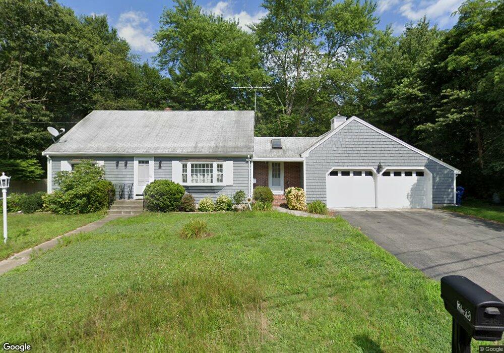
348 Tickle Rd Westport, MA 02790
North Westport NeighborhoodEstimated Value: $444,000 - $718,000
4
Beds
2
Baths
1,665
Sq Ft
$344/Sq Ft
Est. Value
About This Home
This home is located at 348 Tickle Rd, Westport, MA 02790 and is currently estimated at $573,297, approximately $344 per square foot. 348 Tickle Rd is a home located in Bristol County with nearby schools including Alice A. Macomber Primary School, Westport Elementary School, and Westport Middle-High School.
Ownership History
Date
Name
Owned For
Owner Type
Purchase Details
Closed on
Apr 30, 2010
Sold by
Mcdonald Judith and Brodie Judith M
Bought by
Salt Christopher
Current Estimated Value
Home Financials for this Owner
Home Financials are based on the most recent Mortgage that was taken out on this home.
Original Mortgage
$254,400
Outstanding Balance
$170,012
Interest Rate
4.99%
Mortgage Type
Purchase Money Mortgage
Estimated Equity
$403,285
Create a Home Valuation Report for This Property
The Home Valuation Report is an in-depth analysis detailing your home's value as well as a comparison with similar homes in the area
Home Values in the Area
Average Home Value in this Area
Purchase History
| Date | Buyer | Sale Price | Title Company |
|---|---|---|---|
| Salt Christopher | $318,000 | -- |
Source: Public Records
Mortgage History
| Date | Status | Borrower | Loan Amount |
|---|---|---|---|
| Open | Salt Christopher | $254,400 | |
| Previous Owner | Salt Christopher | $53,000 | |
| Previous Owner | Salt Christopher | $53,000 |
Source: Public Records
Tax History Compared to Growth
Tax History
| Year | Tax Paid | Tax Assessment Tax Assessment Total Assessment is a certain percentage of the fair market value that is determined by local assessors to be the total taxable value of land and additions on the property. | Land | Improvement |
|---|---|---|---|---|
| 2025 | $3,122 | $419,100 | $175,800 | $243,300 |
| 2024 | $3,292 | $425,900 | $162,900 | $263,000 |
| 2023 | $3,185 | $390,300 | $142,700 | $247,600 |
| 2022 | $2,933 | $353,100 | $142,700 | $210,400 |
| 2021 | $2,933 | $340,200 | $129,800 | $210,400 |
| 2020 | $2,824 | $335,000 | $124,600 | $210,400 |
| 2019 | $2,563 | $309,900 | $108,300 | $201,600 |
| 2018 | $2,459 | $301,000 | $116,500 | $184,500 |
| 2017 | $2,420 | $303,700 | $116,500 | $187,200 |
| 2016 | $2,341 | $295,900 | $116,500 | $179,400 |
| 2015 | $2,287 | $288,400 | $116,500 | $171,900 |
Source: Public Records
Map
Nearby Homes
- 33 Moniz Dr
- 51 Newton St
- 40 Robert St
- 219 Tickle Rd
- 0 Tickle Rd Unit 73453134
- 100 Cory's Ln
- 218 American Legion Hwy
- 47 Devol Ave
- 100 Corys Ln
- 14 Glendale Ave
- 8 Campion Ave
- 75 Montgomery St
- 1125 Stafford Rd Unit 5
- 47 Robert St
- 0 Crandall Rd
- 771 Sanford Rd
- 6 Angel Ct
- 308 Robert St
- 374 Crandall Rd
- 447 Stafford Rd Unit E7