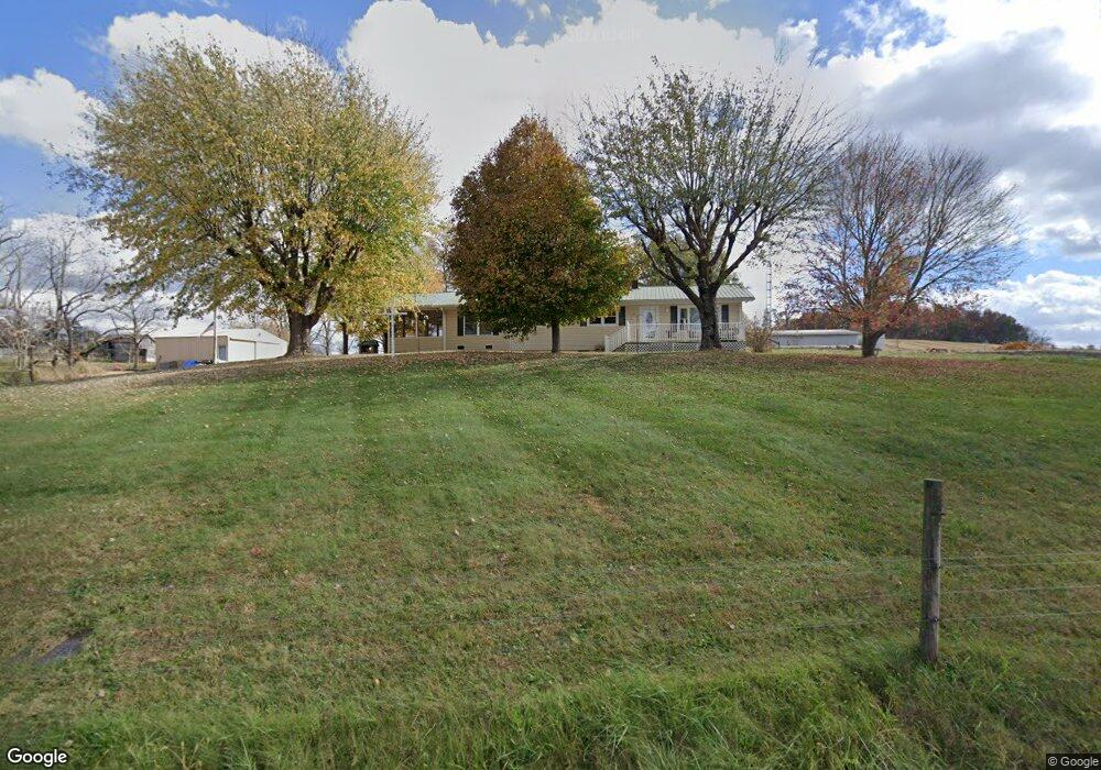
348 Wirmingham Rd Monroe, TN 38573
Estimated Value: $215,000 - $429,000
Studio
1
Bath
1,134
Sq Ft
$291/Sq Ft
Est. Value
About This Home
This home is located at 348 Wirmingham Rd, Monroe, TN 38573 and is currently estimated at $329,914, approximately $290 per square foot. 348 Wirmingham Rd is a home located in Overton County.
Ownership History
Date
Name
Owned For
Owner Type
Purchase Details
Closed on
Apr 3, 2025
Sold by
Smith Catherine Hummel and Buford Chelsea
Bought by
Reeder Chad
Current Estimated Value
Purchase Details
Closed on
Jul 11, 2014
Sold by
Smith Jerry Dale
Bought by
Smith Catherine Hummel - Le Rem and Smith Chelsea Reeder-Buford
Purchase Details
Closed on
Mar 4, 2002
Bought by
Smith Margie - Le Rem and Jerry Dale Sm
Purchase Details
Closed on
May 13, 1988
Bought by
Smith Margie
Purchase Details
Closed on
Apr 30, 1969
Bought by
Smith Carl and Smith Margie
Create a Home Valuation Report for This Property
The Home Valuation Report is an in-depth analysis detailing your home's value as well as a comparison with similar homes in the area
Purchase History
| Date | Buyer | Sale Price | Title Company |
|---|---|---|---|
| Reeder Chad | -- | None Listed On Document | |
| Reeder Chad | -- | None Listed On Document | |
| Smith Catherine Hummel - Le Rem | -- | -- | |
| Smith Margie - Le Rem | $50,000 | -- | |
| Smith Margie | -- | -- | |
| Smith Carl | -- | -- |
Source: Public Records
Tax History
| Year | Tax Paid | Tax Assessment Tax Assessment Total Assessment is a certain percentage of the fair market value that is determined by local assessors to be the total taxable value of land and additions on the property. | Land | Improvement |
|---|---|---|---|---|
| 2025 | $886 | $66,250 | $18,775 | $47,475 |
| 2024 | $740 | $32,925 | $8,325 | $24,600 |
| 2023 | $649 | $32,925 | $8,325 | $24,600 |
| 2022 | $649 | $32,925 | $8,325 | $24,600 |
| 2021 | $649 | $32,925 | $8,325 | $24,600 |
| 2020 | $649 | $32,925 | $8,325 | $24,600 |
| 2019 | $423 | $18,800 | $7,050 | $11,750 |
| 2018 | $423 | $18,800 | $7,050 | $11,750 |
| 2017 | $423 | $18,800 | $7,050 | $11,750 |
| 2016 | $423 | $18,800 | $7,050 | $11,750 |
| 2015 | $374 | $18,800 | $7,050 | $11,750 |
| 2014 | -- | $18,800 | $7,050 | $11,750 |
| 2013 | -- | $19,400 | $0 | $0 |
Source: Public Records
Map
Nearby Homes
- 5395 Eastport Dock Rd
- 269 Bethsaida Rd
- 118 Summer Ln
- 770 Eastport Dock Rd
- 0 Garrett Town Ln
- 6.49ac Garrett Town Ln
- 144 Beaty Swamp Rd
- 8.5 Acres Flowers Rd
- 4205 Garfield Hinds Rd
- 0 Flowers Rd
- 3231 Byrdstown Hwy
- 122 Wildwood Ln
- Lot 11 Big Hollow Rd
- 00 Byrdstown Hwy
- 7316 Oak Grove Rd
- Lot 66 Big Hollow Rd
- 0 Cliff Edge Rd
- 0 Cliff Edge Rd Unit 1
- Lot Cliff Edge Rd
- 0 Bolestown Loop
- 319 Wirmingham Rd
- 291 Wirmingham Rd
- 389 Wirmingham Rd
- 194 Smith Rd
- 161 Smith Rd
- 466 Wirmingham Rd
- 131 Wirmingham Rd
- -- Eastport Dock Rd
- 00 Eastport Dock Rd
- 181 Eastport Dock Rd
- 0 Eastport Dock Rd
- 3893 Byrdstown Hwy
- 550 Eastport Dock Rd
- 3752 Byrdstown Hwy
- 631 Eastport Dock Rd
- 498 Wirmingham Rd
- 3941 Byrdstown Hwy
- Tract 1 Bethsaida
- 670 Eastport Dock Rd
- 105 Mcdonald Chapel Rd
Your Personal Tour Guide
Ask me questions while you tour the home.