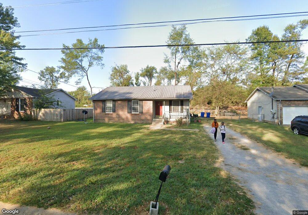
3482 Arvin Dr Clarksville, TN 37042
Estimated Value: $194,149 - $240,000
--
Bed
2
Baths
1,192
Sq Ft
$183/Sq Ft
Est. Value
About This Home
This home is located at 3482 Arvin Dr, Clarksville, TN 37042 and is currently estimated at $218,037, approximately $182 per square foot. 3482 Arvin Dr is a home located in Montgomery County with nearby schools including Barkers Mill Elementary School, West Creek Middle School, and West Creek High School.
Ownership History
Date
Name
Owned For
Owner Type
Purchase Details
Closed on
Jan 2, 2024
Sold by
Sayle Kathleen Lynn
Bought by
Cloyd Family Trust and Sayle
Current Estimated Value
Purchase Details
Closed on
May 16, 2014
Sold by
Cloyd Adam Micah
Bought by
Sayle Jeff E and Cloyd Family Trust
Purchase Details
Closed on
May 15, 2014
Sold by
Cloyd Chawndra L
Bought by
Cloyd Adam Micah
Purchase Details
Closed on
Apr 16, 2010
Sold by
Mcbride Stephanie E
Bought by
Cloyd Adam Micah
Purchase Details
Closed on
May 7, 1996
Sold by
Wilcox Joseph R
Bought by
Stephanie Mcbride
Create a Home Valuation Report for This Property
The Home Valuation Report is an in-depth analysis detailing your home's value as well as a comparison with similar homes in the area
Home Values in the Area
Average Home Value in this Area
Purchase History
| Date | Buyer | Sale Price | Title Company |
|---|---|---|---|
| Cloyd Family Trust | -- | None Listed On Document | |
| Cloyd Family Trust | -- | None Listed On Document | |
| Sayle Jeff E | -- | -- | |
| Cloyd Adam Micah | -- | -- | |
| Cloyd Adam Micah | $88,499 | -- | |
| Stephanie Mcbride | $53,885 | -- |
Source: Public Records
Tax History Compared to Growth
Tax History
| Year | Tax Paid | Tax Assessment Tax Assessment Total Assessment is a certain percentage of the fair market value that is determined by local assessors to be the total taxable value of land and additions on the property. | Land | Improvement |
|---|---|---|---|---|
| 2024 | $1,416 | $47,525 | $0 | $0 |
| 2023 | $1,416 | $26,825 | $0 | $0 |
| 2022 | $1,132 | $26,825 | $0 | $0 |
| 2021 | $1,132 | $26,825 | $0 | $0 |
| 2020 | $1,031 | $25,650 | $0 | $0 |
| 2019 | $1,031 | $25,650 | $0 | $0 |
| 2018 | $892 | $18,800 | $0 | $0 |
| 2017 | $257 | $20,700 | $0 | $0 |
| 2016 | $635 | $20,700 | $0 | $0 |
| 2015 | $872 | $20,700 | $0 | $0 |
| 2014 | $861 | $20,700 | $0 | $0 |
| 2013 | $842 | $19,225 | $0 | $0 |
Source: Public Records
Map
Nearby Homes
- 565 Falkland Cir
- 509 Oakmont Dr
- 2307 Pendleton Dr
- 1066 Shadow Ridge Ave
- 505 Fox Trot Dr
- 3442 Fox Meadow Way
- 511 Fox Trot Dr
- 515 Fox Trot Dr
- 1110 Timothy Ave
- 3426 Fox Meadow Way
- 2503 Green Acres Dr
- 547 Fox Trot Dr
- 3441 Foxrun Ln
- 3426 Foxrun Ln
- 1211 Patton Place
- 2203 Green Acres Dr
- 3433 Oak Lawn Dr
- 306 Tiny Town Rd
- 1251 Patton Place
- 2686 Scott Dr