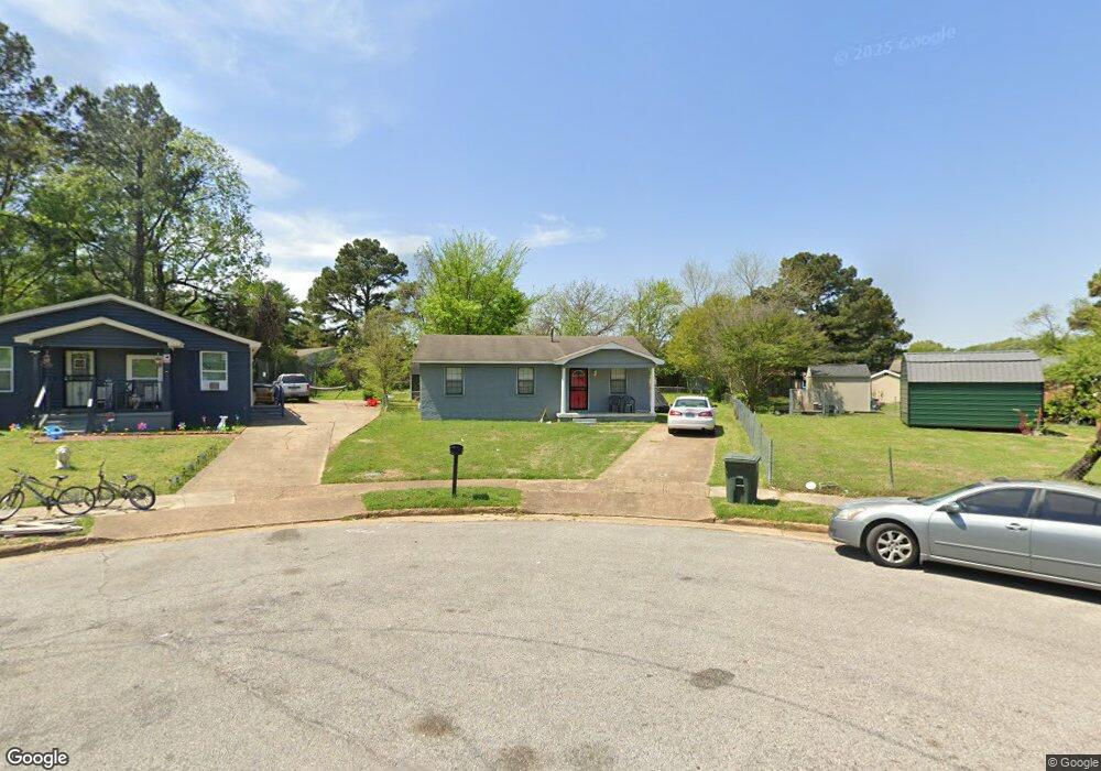
3483 Aaron Rd Memphis, TN 38109
Westwood NeighborhoodEstimated Value: $77,000 - $92,000
3
Beds
1
Bath
1,228
Sq Ft
$69/Sq Ft
Est. Value
About This Home
This home is located at 3483 Aaron Rd, Memphis, TN 38109 and is currently estimated at $85,248, approximately $69 per square foot. 3483 Aaron Rd is a home located in Shelby County with nearby schools including Ford Road Elementary School, Chickasaw Middle School, and Mitchell High School.
Ownership History
Date
Name
Owned For
Owner Type
Purchase Details
Closed on
Apr 21, 2004
Sold by
Luster Shawanna and Hobbs Shawanna
Bought by
Luster Shawana and Luster Darricus
Current Estimated Value
Home Financials for this Owner
Home Financials are based on the most recent Mortgage that was taken out on this home.
Original Mortgage
$47,700
Interest Rate
5.98%
Mortgage Type
Purchase Money Mortgage
Purchase Details
Closed on
Jun 30, 1999
Sold by
Vanessa Hobbs
Bought by
Hobbs Shewana
Purchase Details
Closed on
Mar 1, 1999
Sold by
Vanessa Hobbs and Mae Carrie Mae
Bought by
Hobbs Shewana
Create a Home Valuation Report for This Property
The Home Valuation Report is an in-depth analysis detailing your home's value as well as a comparison with similar homes in the area
Home Values in the Area
Average Home Value in this Area
Purchase History
| Date | Buyer | Sale Price | Title Company |
|---|---|---|---|
| Luster Shawana | $11,375 | -- | |
| Hobbs Shewana | $11,153 | -- | |
| Hobbs Shewana | $11,153 | -- | |
| Hobbs Shewana | -- | -- | |
| Hobbs Shewana | -- | -- |
Source: Public Records
Mortgage History
| Date | Status | Borrower | Loan Amount |
|---|---|---|---|
| Closed | Luster Shawana | $47,700 |
Source: Public Records
Tax History
| Year | Tax Paid | Tax Assessment Tax Assessment Total Assessment is a certain percentage of the fair market value that is determined by local assessors to be the total taxable value of land and additions on the property. | Land | Improvement |
|---|---|---|---|---|
| 2025 | $420 | $20,000 | $1,525 | $18,475 |
| 2024 | $420 | $12,375 | $1,225 | $11,150 |
| 2023 | $754 | $12,375 | $1,225 | $11,150 |
| 2022 | $754 | $12,375 | $1,225 | $11,150 |
| 2021 | $763 | $12,375 | $1,225 | $11,150 |
| 2020 | $792 | $10,925 | $1,225 | $9,700 |
| 2019 | $792 | $10,925 | $1,225 | $9,700 |
| 2018 | $792 | $10,925 | $1,225 | $9,700 |
| 2017 | $449 | $10,925 | $1,225 | $9,700 |
| 2016 | $489 | $11,200 | $0 | $0 |
| 2014 | $489 | $11,200 | $0 | $0 |
Source: Public Records
Map
Nearby Homes
- 1204 Nora Rd
- 3420 Forrester Rd
- 3414 Forrester Rd
- 1219 Fiber Rd
- 3452 Outlet Rd
- 3415 Outlet Rd
- 3602 Silas Rd
- 1036 Fields Rd
- 931 Calvin Rd
- 3447 Cook Rd
- 1198 Canary Ln
- 0 S Mitchell Rd Unit 10213789
- 1001 Canary Ln
- 858 Eyers Rd
- 3677 Bison St
- 761 Harahan Rd
- 690 Hazelwood Rd
- 1270 Chickamauga Ave
- 761 Nonconnah Rd
- 726 Harahan Rd
Your Personal Tour Guide
Ask me questions while you tour the home.