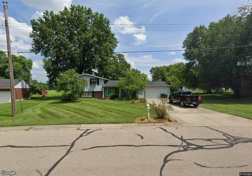
3488 Carol Ann Ln Middletown, OH 45044
Estimated Value: $252,000 - $295,496
4
Beds
2
Baths
1,344
Sq Ft
$211/Sq Ft
Est. Value
About This Home
This home is located at 3488 Carol Ann Ln, Middletown, OH 45044 and is currently estimated at $283,374, approximately $210 per square foot. 3488 Carol Ann Ln is a home located in Butler County with nearby schools including Monroe Primary School, Monroe Elementary School, and Monroe Junior High School.
Ownership History
Date
Name
Owned For
Owner Type
Purchase Details
Closed on
Mar 3, 2020
Sold by
Lacy Wilma Jean
Bought by
Schwing Leslie A
Current Estimated Value
Home Financials for this Owner
Home Financials are based on the most recent Mortgage that was taken out on this home.
Original Mortgage
$156,120
Outstanding Balance
$138,579
Interest Rate
3.62%
Mortgage Type
FHA
Estimated Equity
$144,795
Purchase Details
Closed on
Apr 30, 2008
Sold by
Estate Of Paul Lacy
Bought by
Lacy Wilma Jean
Create a Home Valuation Report for This Property
The Home Valuation Report is an in-depth analysis detailing your home's value as well as a comparison with similar homes in the area
Home Values in the Area
Average Home Value in this Area
Purchase History
| Date | Buyer | Sale Price | Title Company |
|---|---|---|---|
| Schwing Leslie A | $159,000 | None Available | |
| Lacy Wilma Jean | -- | None Available |
Source: Public Records
Mortgage History
| Date | Status | Borrower | Loan Amount |
|---|---|---|---|
| Open | Schwing Leslie A | $156,120 |
Source: Public Records
Tax History Compared to Growth
Tax History
| Year | Tax Paid | Tax Assessment Tax Assessment Total Assessment is a certain percentage of the fair market value that is determined by local assessors to be the total taxable value of land and additions on the property. | Land | Improvement |
|---|---|---|---|---|
| 2024 | $3,579 | $79,450 | $14,300 | $65,150 |
| 2023 | $3,555 | $80,960 | $14,300 | $66,660 |
| 2022 | $3,010 | $59,240 | $14,300 | $44,940 |
| 2021 | $2,899 | $59,240 | $14,300 | $44,940 |
| 2020 | $2,559 | $59,240 | $14,300 | $44,940 |
| 2019 | $3,125 | $45,580 | $13,570 | $32,010 |
| 2018 | $2,015 | $45,580 | $13,570 | $32,010 |
| 2017 | $2,057 | $45,580 | $13,570 | $32,010 |
| 2016 | $2,023 | $43,470 | $13,570 | $29,900 |
| 2015 | $2,001 | $43,470 | $13,570 | $29,900 |
| 2014 | $1,643 | $43,470 | $13,570 | $29,900 |
| 2013 | $1,643 | $37,630 | $13,570 | $24,060 |
Source: Public Records
Map
Nearby Homes
- 6261 Todhunter Rd
- 6631 Hamilton Middletown Rd
- 1952 Michelle Ln
- 6383 Todhunter Rd
- 3620 S Main St
- 401 Granny Smith Ln
- 175 Stone Ridge Ln
- 0 Jackson St Unit 895859
- 0 Jackson St Unit 1780028
- 1602 Oxford State Rd
- 1102 Forrer St
- 3209 Rufus St
- 3221 Yankee Rd
- 176 Lakeview Dr
- 3113 Rufus St
- 3107 Rufus St
- 3004 Judy Dr
- 3109 Locust St
- 27 Kameron Dr
- 3502 Carol Ann Ln
- 6124 Todhunter Rd
- 6134 Todhunter Rd
- 6142 Todhunter Rd
- 6114 Todhunter Rd
- 3458 Carol Ann Ln
- 3491 Carol Ann Ln
- 3503 Carol Ann Ln
- 6094 Todhunter Rd
- 6150 Todhunter Rd
- 3428 Carol Ann Ln
- 3451 Carol Ann Ln
- 6080 Todhunter Rd
- 6111 Todhunter Rd
- 6101 Todhunter Rd
- 3432 Carol Ann Ln
- 6121 Todhunter Rd
- 6091 Todhunter Rd
- 3439 Carol Ann Ln
- 6073 Serena Way