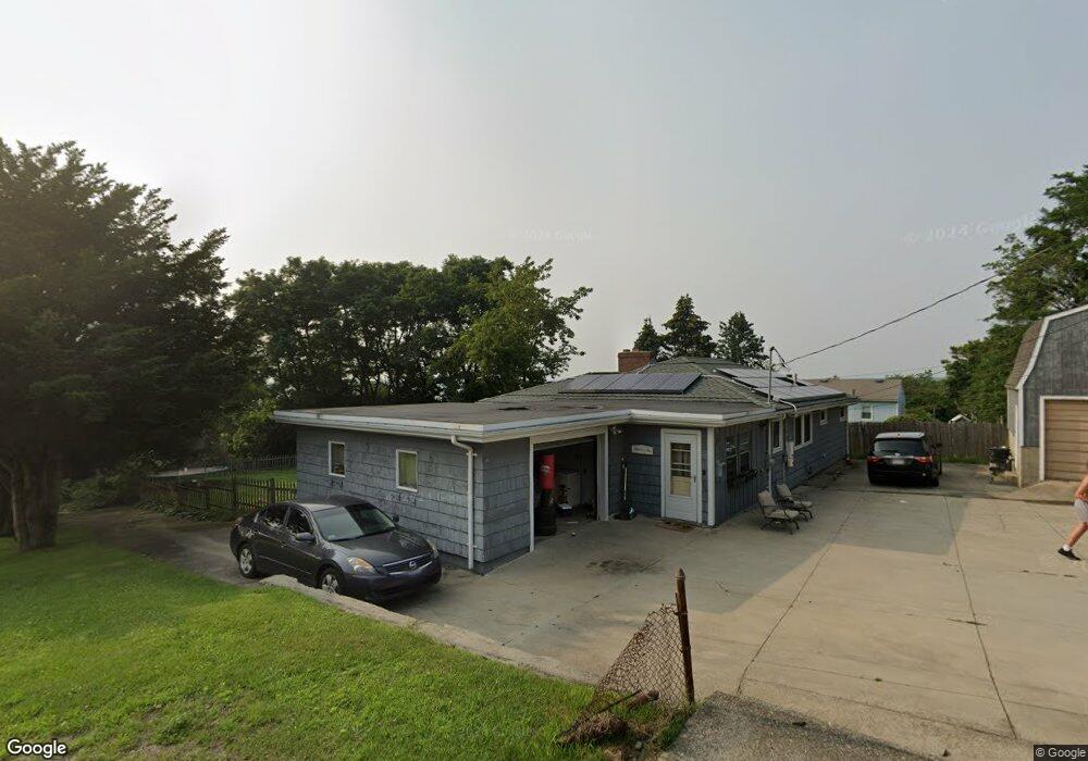
349 Clarkson St Fall River, MA 02724
Sandy Beach NeighborhoodEstimated Value: $433,000 - $531,000
3
Beds
2
Baths
2,110
Sq Ft
$228/Sq Ft
Est. Value
About This Home
This home is located at 349 Clarkson St, Fall River, MA 02724 and is currently estimated at $481,277, approximately $228 per square foot. 349 Clarkson St is a home located in Bristol County with nearby schools including Henry Lord Community School, B M C Durfee High School, and Argosy Collegiate Charter School.
Ownership History
Date
Name
Owned For
Owner Type
Purchase Details
Closed on
Sep 27, 2010
Sold by
Pacheco Sherry A
Bought by
Talbot Matthew S and Talbot Rochelle A
Current Estimated Value
Home Financials for this Owner
Home Financials are based on the most recent Mortgage that was taken out on this home.
Original Mortgage
$187,376
Outstanding Balance
$124,464
Interest Rate
4.48%
Mortgage Type
Purchase Money Mortgage
Estimated Equity
$356,813
Purchase Details
Closed on
May 13, 1998
Sold by
Beaudoin George R and Beaudoin Lillian A
Bought by
Milton W Reed Lt and Irene C Reed Lt
Create a Home Valuation Report for This Property
The Home Valuation Report is an in-depth analysis detailing your home's value as well as a comparison with similar homes in the area
Home Values in the Area
Average Home Value in this Area
Purchase History
| Date | Buyer | Sale Price | Title Company |
|---|---|---|---|
| Talbot Matthew S | $189,900 | -- | |
| Milton W Reed Lt | $140,000 | -- |
Source: Public Records
Mortgage History
| Date | Status | Borrower | Loan Amount |
|---|---|---|---|
| Open | Talbot Matthew S | $187,376 |
Source: Public Records
Tax History
| Year | Tax Paid | Tax Assessment Tax Assessment Total Assessment is a certain percentage of the fair market value that is determined by local assessors to be the total taxable value of land and additions on the property. | Land | Improvement |
|---|---|---|---|---|
| 2025 | $3,436 | $300,100 | $143,300 | $156,800 |
| 2024 | $3,270 | $284,600 | $140,400 | $144,200 |
| 2023 | $3,216 | $262,100 | $126,500 | $135,600 |
| 2022 | $2,919 | $231,300 | $119,400 | $111,900 |
| 2021 | $2,831 | $204,700 | $114,000 | $90,700 |
| 2020 | $2,760 | $191,000 | $108,800 | $82,200 |
| 2019 | $2,964 | $191,300 | $113,800 | $77,500 |
| 2018 | $2,798 | $191,400 | $114,600 | $76,800 |
| 2017 | $2,446 | $190,300 | $114,600 | $75,700 |
| 2016 | $2,597 | $190,500 | $118,100 | $72,400 |
| 2015 | $2,417 | $184,800 | $118,100 | $66,700 |
| 2014 | $2,325 | $184,800 | $118,100 | $66,700 |
Source: Public Records
Map
Nearby Homes
- 391 Clarkson St
- 579 Summit St Unit 3
- 579 Summit St Unit 2
- 42 Main Rd
- 30 Broad St
- 126 Wheeler St
- 2229 S Main St
- 24 Valley St
- 25 Mathew Rd
- 29 Robert St
- 15 Higgins St
- 12 Horizon Dr
- 347 Main Rd Unit 103
- 57 Larouche St
- 17 Lynwood St
- 0 Cypress Ave
- 359 Main Rd
- 609 King Philip St
- 24 Bronson St
- 1852 S Main St
- 387 Summit St
- 371 Clarkson St
- 391 Summit St
- 345 Summit St
- 379 Clarkson St Unit 381
- 364 Clarkson St
- 419 Summit St
- 415 Summit St
- 361 Sampson St
- 386 Clarkson St
- 297 Clarkson St
- 409 Bailey St
- 396 Clarkson St
- 407 Clarkson St
- 407 Clarkson St Unit 2
- 294 Clarkson St
- 431 Summit St
- 348 Summit St
- 348 Summit St Unit A
- 348 Summit St Unit C
Your Personal Tour Guide
Ask me questions while you tour the home.