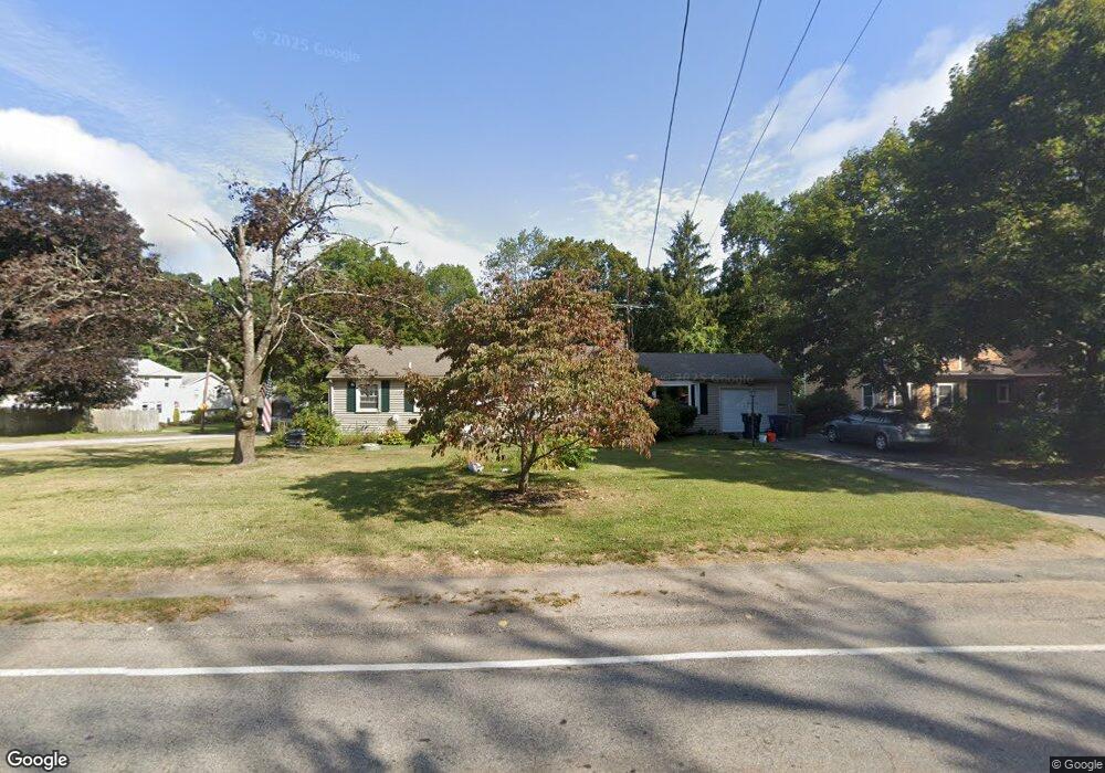
349 Cowesett Rd Warwick, RI 02886
Cowesett NeighborhoodEstimated Value: $449,032 - $545,000
2
Beds
2
Baths
1,594
Sq Ft
$305/Sq Ft
Est. Value
About This Home
This home is located at 349 Cowesett Rd, Warwick, RI 02886 and is currently estimated at $486,258, approximately $305 per square foot. 349 Cowesett Rd is a home located in Kent County with nearby schools including Our Lady of Mercy School.
Ownership History
Date
Name
Owned For
Owner Type
Purchase Details
Closed on
Mar 31, 1997
Sold by
Buonanno Albert A and Buonanno Gloria
Bought by
Shea Robert M
Current Estimated Value
Home Financials for this Owner
Home Financials are based on the most recent Mortgage that was taken out on this home.
Original Mortgage
$111,150
Interest Rate
7.59%
Mortgage Type
Purchase Money Mortgage
Create a Home Valuation Report for This Property
The Home Valuation Report is an in-depth analysis detailing your home's value as well as a comparison with similar homes in the area
Home Values in the Area
Average Home Value in this Area
Purchase History
| Date | Buyer | Sale Price | Title Company |
|---|---|---|---|
| Shea Robert M | $117,000 | -- |
Source: Public Records
Mortgage History
| Date | Status | Borrower | Loan Amount |
|---|---|---|---|
| Open | Shea Robert M | $97,231 | |
| Closed | Shea Robert M | $108,000 | |
| Closed | Shea Robert M | $111,150 |
Source: Public Records
Tax History
| Year | Tax Paid | Tax Assessment Tax Assessment Total Assessment is a certain percentage of the fair market value that is determined by local assessors to be the total taxable value of land and additions on the property. | Land | Improvement |
|---|---|---|---|---|
| 2025 | $4,881 | $384,300 | $109,800 | $274,500 |
| 2024 | $4,571 | $315,900 | $92,500 | $223,400 |
| 2023 | $4,483 | $315,900 | $92,500 | $223,400 |
| 2022 | $4,407 | $235,300 | $66,400 | $168,900 |
| 2021 | $4,407 | $235,300 | $66,400 | $168,900 |
| 2020 | $4,407 | $235,300 | $66,400 | $168,900 |
| 2019 | $4,407 | $235,300 | $66,400 | $168,900 |
| 2018 | $3,940 | $189,400 | $66,400 | $123,000 |
| 2017 | $3,833 | $189,400 | $66,400 | $123,000 |
| 2016 | $3,833 | $189,400 | $66,400 | $123,000 |
| 2015 | $3,916 | $188,700 | $80,900 | $107,800 |
| 2014 | $3,785 | $188,700 | $80,900 | $107,800 |
| 2013 | $3,734 | $188,700 | $80,900 | $107,800 |
Source: Public Records
Map
Nearby Homes
- 155 Birkshire Dr
- 48 Patrick Way
- 10 Arrowhead Way
- 146 Edmond Dr
- 170 Cowesett Rd
- 52 Bruce Ln
- 123 Cowesett Rd
- 6 Contour Rd
- 151 Drum Rock Ave
- 3800 Post Rd Unit 4
- 54 Highland Ave
- 43 Highland Ave
- 6 Island View Dr
- 52 Benefit St
- 442 Sleepy Hollow Farm Rd
- 3940 Post Rd Unit 26
- 3940 Post Rd Unit 3
- 3399 Post Rd Unit 15
- 3976 Post Rd
- 37 Eagle Run Unit 37B
- 325 Cowesett Rd
- 351 Cowesett Rd
- 185 Birkshire Dr
- 6 Patrick Way
- 1 Edmond Dr
- 4 Patrick Way
- 8 Patrick Way
- 315 Cowesett Rd
- 175 Birkshire Dr
- 170 Birkshire Dr
- 185 Sturbridge Dr
- 330 Cowesett Rd
- 355 Cowesett Rd
- 344 Cowesett Rd
- 5 Patrick Way
- 165 Birkshire Dr
- 175 Sturbridge Dr
- 160 Birkshire Dr
- 365 Cowesett Rd
- 22 Patrick Way
Your Personal Tour Guide
Ask me questions while you tour the home.