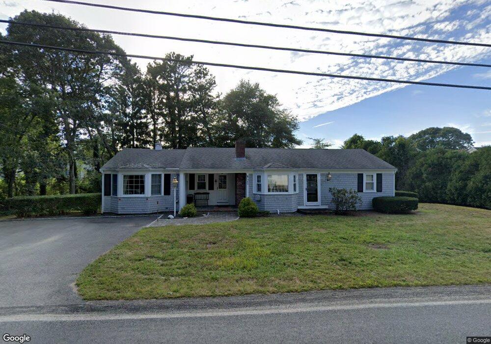
349 Depot St Dennis Port, MA 02639
Dennis Port NeighborhoodEstimated Value: $548,000 - $612,000
2
Beds
2
Baths
1,328
Sq Ft
$442/Sq Ft
Est. Value
About This Home
This home is located at 349 Depot St, Dennis Port, MA 02639 and is currently estimated at $586,898, approximately $441 per square foot. 349 Depot St is a home located in Barnstable County with nearby schools including Dennis-Yarmouth Regional High School and St. Pius X. School.
Ownership History
Date
Name
Owned For
Owner Type
Purchase Details
Closed on
Jun 21, 1989
Sold by
Brown Ann F
Bought by
Jenkins Robert J
Current Estimated Value
Home Financials for this Owner
Home Financials are based on the most recent Mortgage that was taken out on this home.
Original Mortgage
$60,000
Interest Rate
10.84%
Mortgage Type
Purchase Money Mortgage
Create a Home Valuation Report for This Property
The Home Valuation Report is an in-depth analysis detailing your home's value as well as a comparison with similar homes in the area
Home Values in the Area
Average Home Value in this Area
Purchase History
| Date | Buyer | Sale Price | Title Company |
|---|---|---|---|
| Jenkins Robert J | $108,500 | -- |
Source: Public Records
Mortgage History
| Date | Status | Borrower | Loan Amount |
|---|---|---|---|
| Closed | Jenkins Robert J | $60,000 |
Source: Public Records
Tax History Compared to Growth
Tax History
| Year | Tax Paid | Tax Assessment Tax Assessment Total Assessment is a certain percentage of the fair market value that is determined by local assessors to be the total taxable value of land and additions on the property. | Land | Improvement |
|---|---|---|---|---|
| 2025 | $2,324 | $536,700 | $129,100 | $407,600 |
| 2024 | $2,330 | $530,700 | $131,500 | $399,200 |
| 2023 | $2,253 | $482,400 | $119,500 | $362,900 |
| 2022 | $2,184 | $390,000 | $119,600 | $270,400 |
| 2021 | $2,004 | $332,300 | $105,500 | $226,800 |
| 2020 | $1,900 | $311,400 | $105,500 | $205,900 |
| 2019 | $2,867 | $289,200 | $103,500 | $185,700 |
| 2018 | $1,696 | $267,500 | $98,500 | $169,000 |
| 2017 | $2,487 | $262,200 | $98,500 | $163,700 |
| 2016 | $1,607 | $246,100 | $109,400 | $136,700 |
| 2015 | $1,575 | $246,100 | $109,400 | $136,700 |
| 2014 | $1,424 | $224,300 | $87,600 | $136,700 |
Source: Public Records
Map
Nearby Homes
- 11 Lane Rd
- 24 Indian Trail
- 9 Country Ln
- 91 Depot Rd W
- 47 Telegraph Rd Unit 1
- 78 Upper County Rd Unit A&B
- 78 Upper County Rd
- 141 Division St
- 141 Division St
- 12 Candlewood Ln Unit 2-9
- 10 Candlewood Ln Unit 2-1
- 45 Route 28
- 9 Bells Neck Rd Unit 10
- 20 Aunt Debbys Rd
- 537 Depot St
- 40 Willow St
- 9 Mansion St
- 73 Division St
- 268 Main St
- 79 Massachusetts 28