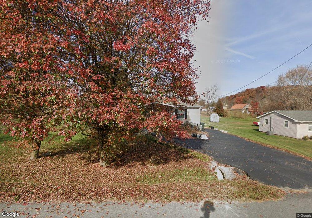
349 Frank Lowe Rd Jonesborough, TN 37659
Estimated Value: $189,000 - $250,000
3
Beds
1
Bath
1,008
Sq Ft
$212/Sq Ft
Est. Value
About This Home
This home is located at 349 Frank Lowe Rd, Jonesborough, TN 37659 and is currently estimated at $213,333, approximately $211 per square foot. 349 Frank Lowe Rd is a home located in Washington County with nearby schools including Jonesborough Elementary School, Jonesborough Middle School, and David Crockett High School.
Ownership History
Date
Name
Owned For
Owner Type
Purchase Details
Closed on
May 24, 2018
Sold by
Dickey Brenda C
Bought by
Allison Amy Dickey
Current Estimated Value
Purchase Details
Closed on
Sep 23, 2005
Sold by
Darlene Sheehan
Bought by
Dickey Brenda C
Home Financials for this Owner
Home Financials are based on the most recent Mortgage that was taken out on this home.
Original Mortgage
$75,000
Interest Rate
5.77%
Purchase Details
Closed on
Dec 1, 2004
Sold by
Washington Mutual Finance
Bought by
Darlene Sheehan
Purchase Details
Closed on
Aug 13, 2004
Bought by
Washington Mutual Finance Group Llc
Purchase Details
Closed on
Mar 11, 1986
Bought by
Anderson Carroll
Create a Home Valuation Report for This Property
The Home Valuation Report is an in-depth analysis detailing your home's value as well as a comparison with similar homes in the area
Home Values in the Area
Average Home Value in this Area
Purchase History
| Date | Buyer | Sale Price | Title Company |
|---|---|---|---|
| Allison Amy Dickey | -- | Unified Title & Escrow Inc | |
| Dickey Brenda C | $73,500 | -- | |
| Darlene Sheehan | $44,200 | -- | |
| Washington Mutual Finance Group Llc | $45,200 | -- | |
| Anderson Carroll | $28,000 | -- |
Source: Public Records
Mortgage History
| Date | Status | Borrower | Loan Amount |
|---|---|---|---|
| Previous Owner | Anderson Carroll | $75,000 |
Source: Public Records
Tax History Compared to Growth
Tax History
| Year | Tax Paid | Tax Assessment Tax Assessment Total Assessment is a certain percentage of the fair market value that is determined by local assessors to be the total taxable value of land and additions on the property. | Land | Improvement |
|---|---|---|---|---|
| 2024 | $851 | $49,775 | $6,650 | $43,125 |
| 2022 | $505 | $23,500 | $5,250 | $18,250 |
| 2021 | $505 | $23,500 | $5,250 | $18,250 |
| 2020 | $505 | $23,500 | $5,250 | $18,250 |
| 2019 | $144 | $23,500 | $5,250 | $18,250 |
| 2018 | $144 | $6,050 | $4,550 | $1,500 |
| 2017 | $427 | $17,925 | $4,550 | $13,375 |
| 2016 | $427 | $17,925 | $4,550 | $13,375 |
| 2015 | $355 | $17,925 | $4,550 | $13,375 |
| 2014 | $355 | $17,925 | $4,550 | $13,375 |
Source: Public Records
Map
Nearby Homes
- 397 Ridgecrest Rd
- 123 Hallborough Dr
- 205 Reece Ct N
- Lot 7 Markwood Cir
- 191 Hall Rd
- 229 Ridgecrest Rd
- 450 Mount Zion Church Rd
- 2351 Highway 81 S
- 2365 Highway 81 S
- 24 Vesta Sue Ct
- 507 Emma Grace Dr
- 168 County Farm Rd
- 2376 Highway 81 S
- 522 Old State Route 34
- 639 Old State Route 34
- 170 Hartman Dr
- 146 Mulberry Bend
- 161 Cochran Rd
- 144 Forestview Dr
- 164 Cochran Rd
- 343 Frank Lowe Rd
- 1966 Highway 81 S
- 339 Frank Lowe Rd
- 337 Frank Lowe Rd
- 1970 Highway 81 S
- 1964 Highway 81 S
- 1965 Highway 81 S
- 1959 Highway 81 S
- 335 Frank Lowe Rd
- 1972 Highway 81 S
- 1947 Highway 81 S
- 327 Frank Lowe Rd
- 1974 Highway 81 S
- 1939 Highway 81 S
- 323 Frank Lowe Rd
- 1931 Highway 81 S
- 1975 Highway 81 S
- 1928 Highway 81 S
- 1978 Highway 81 S
- 1927 Highway 81 S