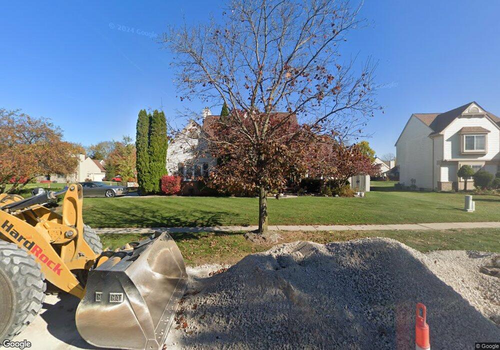
349 Harbour Pointe Dr Belleville, MI 48111
Estimated Value: $423,884 - $498,000
--
Bed
1
Bath
2,378
Sq Ft
$199/Sq Ft
Est. Value
About This Home
This home is located at 349 Harbour Pointe Dr, Belleville, MI 48111 and is currently estimated at $473,971, approximately $199 per square foot. 349 Harbour Pointe Dr is a home located in Wayne County with nearby schools including Owen Intermediate School, Edgemont Elementary School, and McBride Middle School.
Ownership History
Date
Name
Owned For
Owner Type
Purchase Details
Closed on
Mar 28, 2014
Sold by
Gregg Mary K and Gregg Steven W
Bought by
Jones Kacee Harris and Jones Ryan
Current Estimated Value
Home Financials for this Owner
Home Financials are based on the most recent Mortgage that was taken out on this home.
Original Mortgage
$164,000
Interest Rate
4.41%
Mortgage Type
New Conventional
Purchase Details
Closed on
May 11, 1998
Sold by
Bono Laura J and Bono Leoanrd
Bought by
Hutchinson Cynthia S
Create a Home Valuation Report for This Property
The Home Valuation Report is an in-depth analysis detailing your home's value as well as a comparison with similar homes in the area
Home Values in the Area
Average Home Value in this Area
Purchase History
| Date | Buyer | Sale Price | Title Company |
|---|---|---|---|
| Jones Kacee Harris | $205,000 | Netco | |
| Hutchinson Cynthia S | $226,000 | -- |
Source: Public Records
Mortgage History
| Date | Status | Borrower | Loan Amount |
|---|---|---|---|
| Previous Owner | Jones Kacee Harris | $164,000 |
Source: Public Records
Tax History Compared to Growth
Tax History
| Year | Tax Paid | Tax Assessment Tax Assessment Total Assessment is a certain percentage of the fair market value that is determined by local assessors to be the total taxable value of land and additions on the property. | Land | Improvement |
|---|---|---|---|---|
| 2025 | $4,385 | $189,000 | $0 | $0 |
| 2024 | $4,385 | $182,300 | $0 | $0 |
| 2023 | $4,194 | $164,100 | $0 | $0 |
| 2022 | $5,590 | $144,100 | $0 | $0 |
| 2021 | $5,271 | $138,400 | $0 | $0 |
| 2020 | $5,222 | $134,200 | $0 | $0 |
| 2019 | $5,141 | $132,900 | $0 | $0 |
| 2018 | $3,617 | $116,500 | $0 | $0 |
| 2017 | $2,422 | $115,400 | $0 | $0 |
| 2016 | $4,574 | $108,000 | $0 | $0 |
| 2015 | $10,220 | $102,200 | $0 | $0 |
| 2013 | $8,120 | $88,400 | $0 | $0 |
| 2012 | $2,957 | $78,500 | $19,700 | $58,800 |
Source: Public Records
Map
Nearby Homes
- 421 Light Tower Ct
- 47253 Lauren Ct
- 279 Church St
- 241 Main St Unit 2
- 14152 Laurelwood Dr
- 14211 Laurelwood Dr
- 14188 Laurelwood Dr
- 132 N Liberty St
- 250 N Liberty St Unit 303
- 47049 Denton Rd
- 14149 Old Oak Trail
- Peyton Plan at Cobblestone Creek Woodlands
- Sawyer Plan at Cobblestone Creek Woodlands
- 48509 Shagbark Ln
- 13141 Ormond Dr
- 14497 Laurelwood Dr
- 14529 Laurelwood Dr
- 48361 Farmbrook Ln
- 14452 Old Oak Trail
- 14494 Old Oak Trail
- 365 Harbour Pointe Dr
- 735 Light Tower Dr
- 317 Harbour Pointe Dr
- 326 Bay Pointe Dr
- 717 Light Tower Dr
- 381 Harbour Pointe Dr
- 346 Harbour Pointe Dr
- 362 Harbour Pointe Dr
- 728 Breakwater Dr
- 330 Harbour Pointe Dr
- 378 Harbour Pointe Dr
- 301 Harbour Pointe Dr
- 710 Breakwater Dr
- 310 Bay Pointe Dr
- 701 Light Tower Dr
- 314 Harbour Pointe Dr
- 394 Harbour Pointe Dr
- 13975 Marina Dr
- 14007 Marina Dr
- 329 Bay Pointe Dr