349 High St Block Island, RI 02807
Estimated Value: $1,495,977 - $1,692,000
4
Beds
3
Baths
2,010
Sq Ft
$793/Sq Ft
Est. Value
About This Home
This home is located at 349 High St, Block Island, RI 02807 and is currently estimated at $1,593,989, approximately $793 per square foot. 349 High St is a home with nearby schools including Block Island School.
Create a Home Valuation Report for This Property
The Home Valuation Report is an in-depth analysis detailing your home's value as well as a comparison with similar homes in the area
Home Values in the Area
Average Home Value in this Area
Tax History Compared to Growth
Tax History
| Year | Tax Paid | Tax Assessment Tax Assessment Total Assessment is a certain percentage of the fair market value that is determined by local assessors to be the total taxable value of land and additions on the property. | Land | Improvement |
|---|---|---|---|---|
| 2024 | $6,232 | $1,128,900 | $738,700 | $390,200 |
| 2023 | $6,710 | $1,114,600 | $738,700 | $375,900 |
| 2022 | $4,653 | $657,200 | $654,560 | $2,640 |
| 2021 | $5,697 | $850,240 | $654,560 | $195,680 |
| 2020 | $5,408 | $850,240 | $654,560 | $195,680 |
| 2019 | $5,234 | $849,600 | $654,560 | $195,040 |
| 2018 | $4,712 | $791,920 | $616,560 | $175,360 |
| 2017 | $4,641 | $791,920 | $616,560 | $175,360 |
| 2016 | $4,530 | $791,920 | $616,560 | $175,360 |
| 2015 | $5,492 | $996,700 | $770,700 | $226,000 |
| 2014 | $5,322 | $996,700 | $770,700 | $226,000 |
| 2013 | $5,211 | $1,000,100 | $770,700 | $229,400 |
Source: Public Records
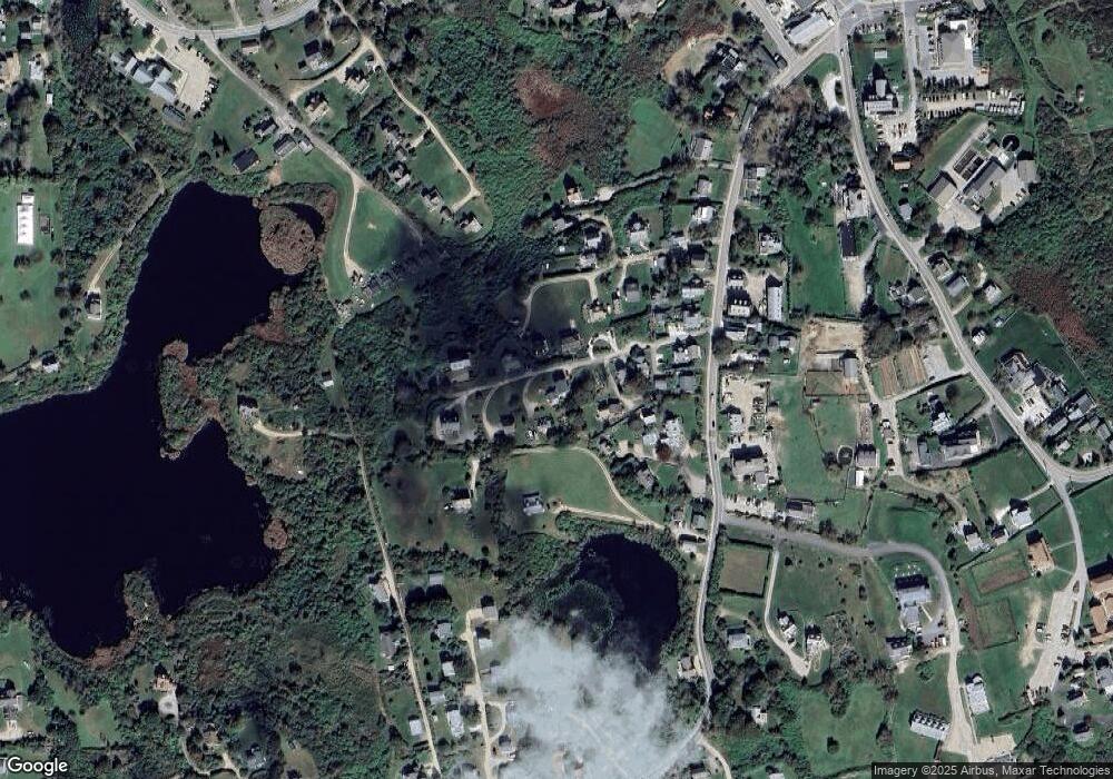
Map
Nearby Homes
- 1289 High St
- 256 High St
- 481 Old Town Rd
- 194 Pilot Hill Rd
- 0 Spring St
- 0 Southeast Rd Unit 1381406
- 0 Pilot Hill Rd
- 1661 Sand Pond Rd
- 1087 Lakeside Dr
- 804 Mohegan Trail
- 1501 Beacon Hill Rd
- 0 Mohegan Trail
- 1448 Mohegan Trail
- 1035 Mohegan Trail
- 0 Snake Hole Rd
- 1743 Corn Neck Rd
- 0 Coast Guard Rd
- 1720 Corn Neck Rd
- 1713 Corn Neck Rd
- 1557 W Side Rd