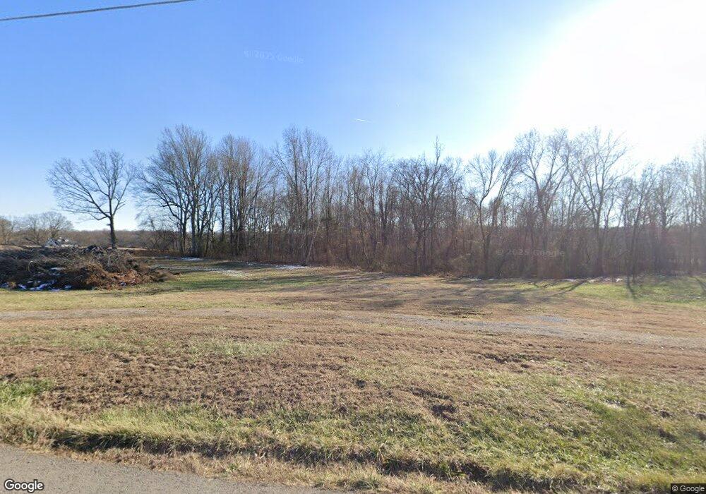
349 Jake Link Rd Cottontown, TN 37048
Estimated Value: $122,720 - $327,000
2
Beds
2
Baths
1,360
Sq Ft
$150/Sq Ft
Est. Value
About This Home
This home is located at 349 Jake Link Rd, Cottontown, TN 37048 and is currently estimated at $204,180, approximately $150 per square foot. 349 Jake Link Rd is a home located in Sumner County with nearby schools including Oakmont Elementary School, Portland East Middle School, and Portland High School.
Ownership History
Date
Name
Owned For
Owner Type
Purchase Details
Closed on
Nov 13, 2023
Sold by
Rogers Clyde and Heatherly Polly
Bought by
Thurman Brian Michael and Thurman Julie Celeste
Current Estimated Value
Home Financials for this Owner
Home Financials are based on the most recent Mortgage that was taken out on this home.
Original Mortgage
$92,000
Outstanding Balance
$62,178
Interest Rate
7.49%
Mortgage Type
Credit Line Revolving
Estimated Equity
$142,002
Create a Home Valuation Report for This Property
The Home Valuation Report is an in-depth analysis detailing your home's value as well as a comparison with similar homes in the area
Home Values in the Area
Average Home Value in this Area
Purchase History
| Date | Buyer | Sale Price | Title Company |
|---|---|---|---|
| Thurman Brian Michael | $115,000 | Southern Title |
Source: Public Records
Mortgage History
| Date | Status | Borrower | Loan Amount |
|---|---|---|---|
| Open | Thurman Brian Michael | $92,000 |
Source: Public Records
Tax History Compared to Growth
Tax History
| Year | Tax Paid | Tax Assessment Tax Assessment Total Assessment is a certain percentage of the fair market value that is determined by local assessors to be the total taxable value of land and additions on the property. | Land | Improvement |
|---|---|---|---|---|
| 2024 | $445 | $31,325 | $31,325 | $0 |
| 2023 | $630 | $27,975 | $11,975 | $16,000 |
| 2022 | $633 | $27,975 | $11,975 | $16,000 |
| 2021 | $633 | $27,975 | $11,975 | $16,000 |
| 2020 | $633 | $27,975 | $11,975 | $16,000 |
| 2019 | $633 | $0 | $0 | $0 |
| 2018 | $468 | $0 | $0 | $0 |
| 2017 | $468 | $0 | $0 | $0 |
| 2016 | $468 | $0 | $0 | $0 |
| 2015 | -- | $0 | $0 | $0 |
| 2014 | -- | $0 | $0 | $0 |
Source: Public Records
Map
Nearby Homes
- 0 Jake Link Rd
- 721 New Deal Potts Rd
- 0 New Deal Pots Rd
- 686 Clearview Rd
- 199 Broaderick Ln
- 782 New Deal Potts Rd
- 1031 Kennedy Ln
- 1 Clearview Rd
- 541 Clearview Rd
- 1044 Washington Dr
- 1003 Roland Ct
- 3371 Highway 76
- 1040 Washington Dr
- 3172 Highway 76
- 290 Dink Rut Rd
- 421 Roney Creek Private Cove
- 357 Raymond Hodges Rd
- 405 Roney Creek Private Cove
- 155 S Ray Rd
- 358 Spring Valley Dr
- 324 Jake Link Rd
- 308 Jake Link Rd
- 308 Jake Link Rd
- 383 Jake Link Rd
- 307 Jake Link Rd
- 296 Jake Link Rd
- 295 Jake Link Rd
- 401 Jake Link Rd
- 408 Jake Link Rd
- 272 Jake Link Rd
- 430 Jake Link Rd
- 415 Jake Link Rd
- 411 Jake Link Rd
- 305 Tom Link Rd
- 377 Tom Link Rd
- 345 Tom Link Rd
- 397 Tom Link Rd
- 385 Tom Link Rd
- 235 Jake Link Rd
- 405 Tom Link Rd
