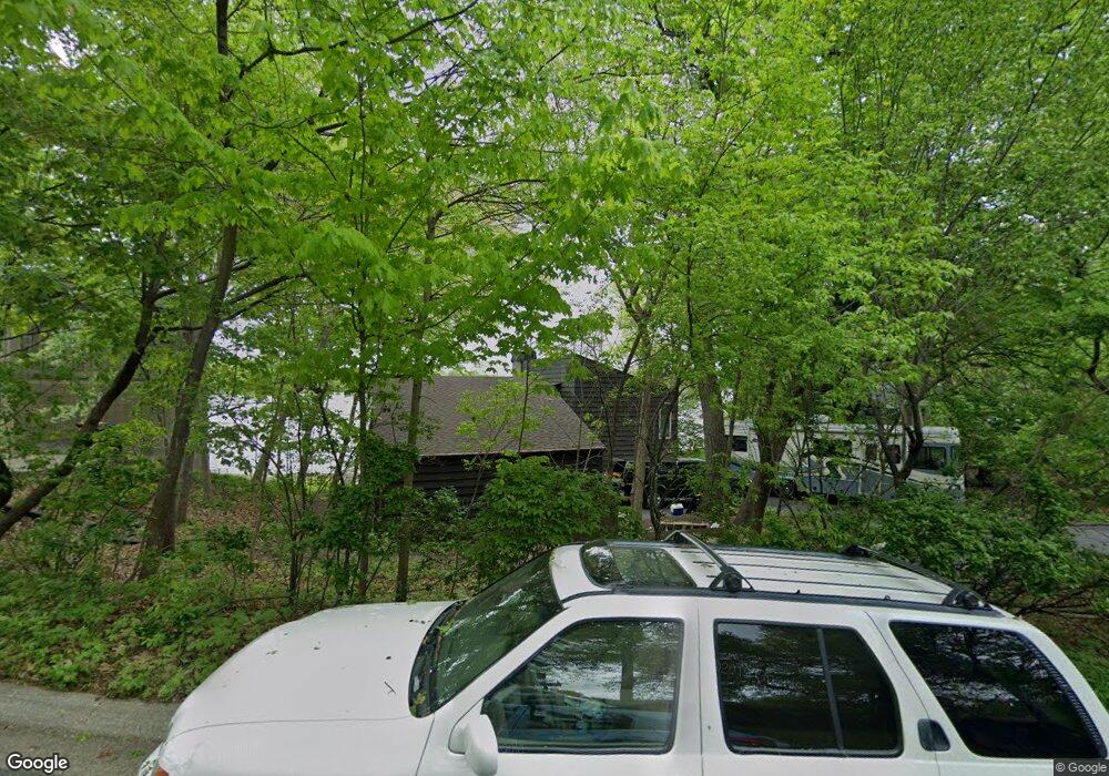
349 Maple Island Rd Burnsville, MN 55306
Estimated Value: $688,000 - $885,000
4
Beds
2
Baths
1,205
Sq Ft
$682/Sq Ft
Est. Value
About This Home
This home is located at 349 Maple Island Rd, Burnsville, MN 55306 and is currently estimated at $821,966, approximately $682 per square foot. 349 Maple Island Rd is a home located in Dakota County with nearby schools including Oak Hills Elementary School, Kenwood Trail Middle School, and Lakeville North High School.
Ownership History
Date
Name
Owned For
Owner Type
Purchase Details
Closed on
Oct 21, 2014
Sold by
Lambert Lewis C
Bought by
Lambert Joan L G and Joan L G Lambert Trust
Current Estimated Value
Purchase Details
Closed on
Jul 3, 2012
Sold by
Gunberg Joan L and Lambert Lewis C
Bought by
Lambert Joan L G and Joan L G Lambert Trust
Create a Home Valuation Report for This Property
The Home Valuation Report is an in-depth analysis detailing your home's value as well as a comparison with similar homes in the area
Home Values in the Area
Average Home Value in this Area
Purchase History
| Date | Buyer | Sale Price | Title Company |
|---|---|---|---|
| Lambert Joan L G | -- | None Available | |
| Lambert Joan L G | -- | None Available |
Source: Public Records
Tax History Compared to Growth
Tax History
| Year | Tax Paid | Tax Assessment Tax Assessment Total Assessment is a certain percentage of the fair market value that is determined by local assessors to be the total taxable value of land and additions on the property. | Land | Improvement |
|---|---|---|---|---|
| 2024 | $9,856 | $794,000 | $540,100 | $253,900 |
| 2023 | $9,856 | $756,700 | $513,900 | $242,800 |
| 2022 | $7,860 | $749,500 | $512,700 | $236,800 |
| 2021 | $8,042 | $595,300 | $427,200 | $168,100 |
| 2020 | $7,850 | $597,200 | $406,900 | $190,300 |
| 2019 | $7,040 | $560,800 | $387,500 | $173,300 |
| 2018 | $7,030 | $523,600 | $352,300 | $171,300 |
| 2017 | $6,701 | $517,900 | $352,300 | $165,600 |
| 2016 | $6,043 | $484,600 | $335,500 | $149,100 |
| 2015 | $6,232 | $420,200 | $305,000 | $115,200 |
| 2014 | -- | $457,600 | $358,700 | $98,900 |
| 2013 | -- | $415,600 | $328,500 | $87,100 |
Source: Public Records
Map
Nearby Homes
- 313 Maple Island Rd
- 333 Maple Island Rd
- 101 Oak Shore Dr
- 9955 161st St W
- 16045 Oak Shore Dr
- 15250 Stevens Ave
- 15505 Logarto Ln
- 16365 Javari Ct
- 1010 E 157th St
- 10435 163rd St W
- 16344 Jatos Cir
- 16386 Jaffna Place
- 16415 Jaffna Place
- 1012 Crystal Lake Rd E
- 16357 Java Ln
- 712 E 151st St
- 15020 Tyacke Dr
- 300 Butternut Ln
- 15100 Eileen Cir
- 16125 Crystal Hills Dr
- 351 Maple Island Rd
- 347 Maple Island Rd
- 350 Maple Island Rd
- 348 Maple Island Rd
- 346 Maple Island Rd
- 345 Maple Island Rd
- 370 Maple Island Rd
- 378 Maple Island Rd
- 344 Maple Island Rd
- 360 Maple Island Rd
- 343 Maple Island Rd
- 320 Maple Island Rd
- 355 Maple Island Rd
- 366 Maple Island Rd
- 342 Maple Island Rd
- 377 Maple Island Rd
- 379 Maple Island Rd
- 341 Maple Island Rd
- 375 Maple Island Rd
- 312 Maple Island Rd